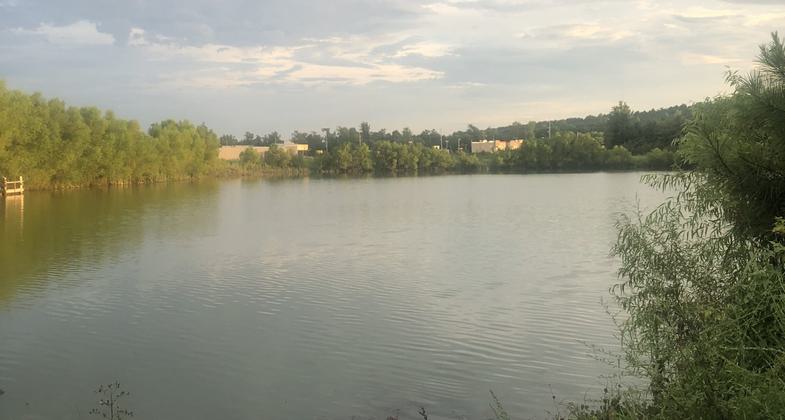
Harvest Square Recreational Preserve Trail System
check with the trail manager for updated details before visiting.
Harvest Square Recreational Preserve Trail System
Nonprofit
Backcountry Trail
Urban Trail
- Length
2.3 miles
- Elevation Gain
--
- Route Type
out & back
- Length
2.3 miles - Elevation Gain
-- - Route Type
out & back
Located east of the Publix Market at the corner of Hwy. 53 and Jeff Road in Northwest Madison County, the Harvest Square Recreational Preserve features two ponds (16.5 acres) and 2.3 miles of flat trails for hiking, biking, and running. The Dale W. Strong Community Pavilion for Environmental Education is a popular feature for picnics and outdoor meetings.
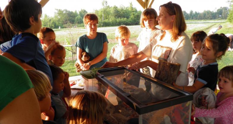
"Tuesdays on the Trail" at Harvest Square. Photo by Cathie M. Mayne
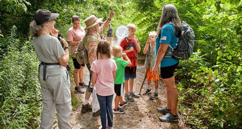
Winner 2022 NRT Photo Contest, Youth and Volunteers. Photo by Jim Teed.
At the Ponds in Harvest. Photo by Virginia Barber.
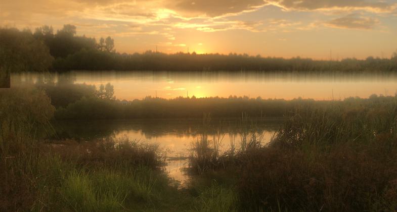
At the Ponds. Photo by Virginia Barber.
Location: Harvest, Alabama - just northwest of Huntsville
- States: Alabama
- Counties: Madison
- Cities/Townships: Harvest
Located east of the Publix Market at the corner of Hwy. 53 and Jeff Road in Northwest Madison County, the Harvest Square Recreational Preserve features two ponds (16.5 acres) and 2.3 miles of flat trails for hiking, biking, and running. The Dale W. Strong Community Pavilion for Environmental Education is a popular feature for picnics and outdoor meetings.
Montgomery-based Aronov Realty Management donated 69+ acres to the Land Trust in 2009 when they were creating the new Harvest Square Shopping Center for the Harvest community. A 33-acre portion continues to be used for farming. The remaining 36 acres of lowland are home to deer, turkey, raccoon, fox, beaver on Dry Creek, and a variety of amphibians and reptiles.
Two borrow pits created when the shopping center was created have become excellent features for migratory birds and fish. The"ponds" at Harvest Square (Terry Pond and Turner Pond) are now part of the Tennessee River Watershed. Dry Creek runs between the ponds and overflow sometimes floods into the ponds. Dry Creek confluences with Indian Creek, which feeds into the Tennessee River near the Redstone Arsenal. The Tennessee River is home to 178 documented species of fish. Longear Sunfish, Bluegill, Pumpkinseed, and Small Mouth Bass have been noted in the Terry Pond.
Boy Scouts cleared the trails and installed benches for their Eagle Scout projects. The five Harvest Square trails include a 1/2 mile walk through oaks and pines (Dry Creek Trail); two trails that edge the holding ponds (Edge Trail and Pete's Trail); one that provides an excellent view of the agricultural lands (Pete's Trail), and one trail that goes very near the beaver home on Dry Creek (Beaver Dam Trail). The fifth trail is the longest (the one mile of Senators Trail) and has been developed and maintained by Sparkman High School's cross-country team. Plans are that cross-country meets will be held at Harvest Preserve beginning in 2013.
The ribbon cutting for the Preserve was held in December 2011. This new little jewel has quickly won the hearts of the community. Home school, church groups, and Scout troops rent the pavilion on the weekends. One Harvest resident has designated herself our"duck steward" and keeps tabs on the Wood Duck population. Shopping center employees use the Preserve for picnics. The Sparkman High Senators practice on their trail.
Our award-winning "Tuesdays on the Trail" summer program offered two sessions this past summer at Harvest Square. Elementary-age children and their parents had the opportunity to learn about the importance of protecting ecosystems and how to use American Native Bamboo to make cane poles.
Accessibility Information
No text provided.
Allowed Uses:
Bicycling Dogs, on leash Hiking/WalkingOther Activities
- Fishing
- Heritage and history
- Wildlife viewing / observation
Public Contact
Andy PrewettLand Trust of North Alabama
907 Franklin Street
Huntsville, AL 35801
[email protected] • (256) 534-5263
Contact the trail manager for current maps and visiting details.
More Details
- Elevation (low): 800
- Elevation (high): 800
- Elevation (cumulative): --
- Part of a Trail System? No
- Surface (primary): Soil
- Surfaces (additional): Grass or Vegetation, Soil
- Tread Width (average): 48"
- Tread Width (minimum): 24
- Running length (minimum): --
- Tread Grade (average, percent): --
- Tread Grade (maximum): 3
- Running length (maximum): --
- Cross-slope (average, percent): 0
- Cross-slope (maximum): --
- Running length (maximum): --
- Certified as an NRT
May 29, 2013

