Hawley Grade
This information is a public record of the 1979 NRT application and may be out of date if it has not been updated by a trail manager --
check with the trail manager for updated details before visiting.
check with the trail manager for updated details before visiting.
Hawley Grade
USDA Forest Service
Backcountry Trail
- Length
1.8 miles
- Elevation Gain
--
- Route Type
out & back
- Length
1.8 miles - Elevation Gain
-- - Route Type
out & back
This 1.8-mile-long trail was originally a toll road.
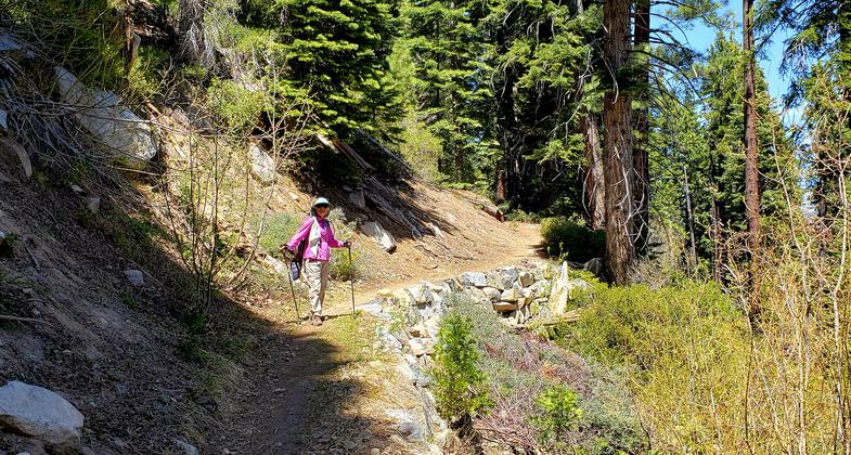
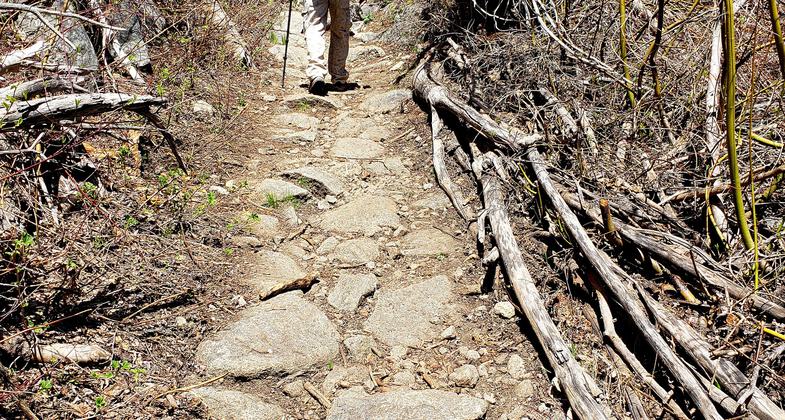
Amazing retaining rock walls on Hawley Grade Rd. Photo by Kris Jenning.

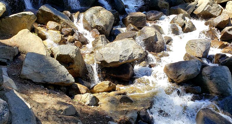
Other side of waterfall and rock fall in the past 160 years. Photo by Kris Jennings.

Waterfall midway on Hawley Grade Rd. Photo by Kris Jennings.

Hawley Grade begins it's ascent. Photo by Kris Jenning.

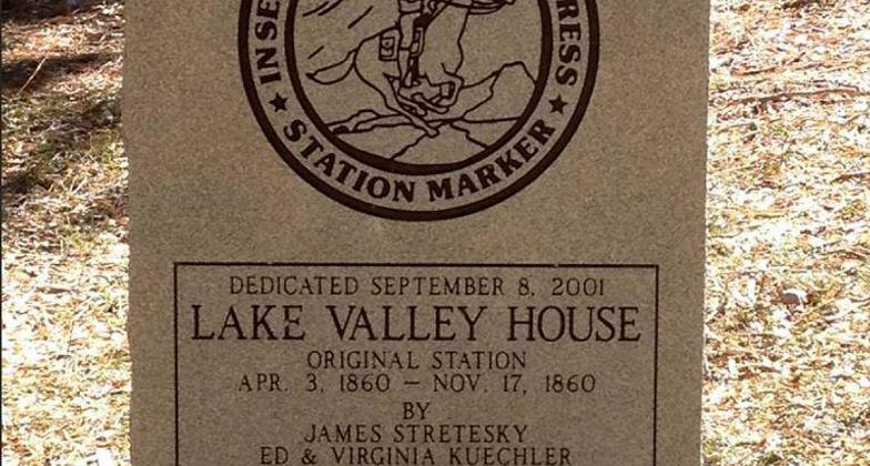
Hawley Grade Pony Express marker.
Location: Lake Tahoe Basin, In Christmas Valley S of Lake Tahoe at end of Upper Truckee Road.
- States: California
- Counties: El Dorado
Constructed during the gold rush era, the Hawley Route in the 1850s served mule-drawn wagons, and for a short time, the Pony Express. Since converted to a trail, this rugged trail offers outstanding views of the Tahoe Basin as it drops from Echo Summit into the valley floor below.
Accessibility Information
No text provided.
Allowed Uses:
Bicycling Equestrian Hiking/WalkingPublic Contact
Don LaneLake Tahoe Basin Management Unit
870 Emerald Bay Rd.
South Lake Tahoe, CA 96150
(530) 573-2621
www.fs.usda.gov/ltbmu
Contact the trail manager for current maps and visiting details.
More Details
- Elevation (low): 6300
- Elevation (high): 7300
- Elevation (cumulative): --
- Part of a Trail System? No
- Surface (primary): Soil
- Surfaces (additional): Soil
- Tread Width (average): 36"
- Tread Width (minimum): --
- Running length (minimum): --
- Tread Grade (average, percent): 8
- Tread Grade (maximum):
- Running length (maximum): --
- Cross-slope (average, percent): --
- Cross-slope (maximum): --
- Running length (maximum): --
- Certified as an NRT
Dec 12, 1979

