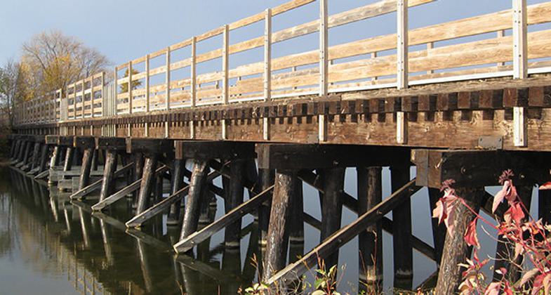
Heartland State Trail
This information is a public record of the 1991 NRT application and may be out of date if it has not been updated by a trail manager --
check with the trail manager for updated details before visiting.
check with the trail manager for updated details before visiting.
Heartland State Trail
State
Rail Trail
- Length
28 miles - Elevation Gain
-- - Route Type
out & back
Location: Rural
- States: Minnesota
The Heartland State Trail is a multi-use recreational rail trail in north-central Minnesota, USA. It runs 49 miles between Park Rapids and Cass Lake, intersecting with the Paul Bunyan State Trail around Walker.
Accessibility Information
No text provided.
Allowed Uses:
Bicycling Dogs, on leash Equestrian Hiking/Walking Motorized vehicles, snowmobiling Snow, cross-country skiingOther Activities
- Camping
- Snow, snow play general
- Wildlife viewing / observation
Public Contact
Dick KimballTrails and Waterways Unit
Minnesota Dept. of Natural Resources
Nevis, MN 56467
(218) 652-4054
Contact the trail manager for current maps and visiting details.
More Details
- Elevation (low): --
- Elevation (high): --
- Elevation (cumulative): --
- Part of a Trail System? No
- Surface (primary): --
- Surfaces (additional): --
- Tread Width (average): 127"
- Tread Width (minimum): --
- Running length (minimum): --
- Tread Grade (average, percent): --
- Tread Grade (maximum):
- Running length (maximum): --
- Cross-slope (average, percent): --
- Cross-slope (maximum): --
- Running length (maximum): --
- Certified as an NRT
Jul 2, 1991


