Hennepin Canal Parkway
check with the trail manager for updated details before visiting.
Hennepin Canal Parkway
State
Rail Trail
- Length
172.5 miles
- Elevation Gain
--
- Route Type
out & back
(1 review)
- Length
172.5 miles - Elevation Gain
-- - Route Type
out & back
The Hennepin Canal National Recreation Trail provides many miles of trail recreation for biking, hiking, snowmobiling, horseback riding, and paddling along a historic canal corridor.
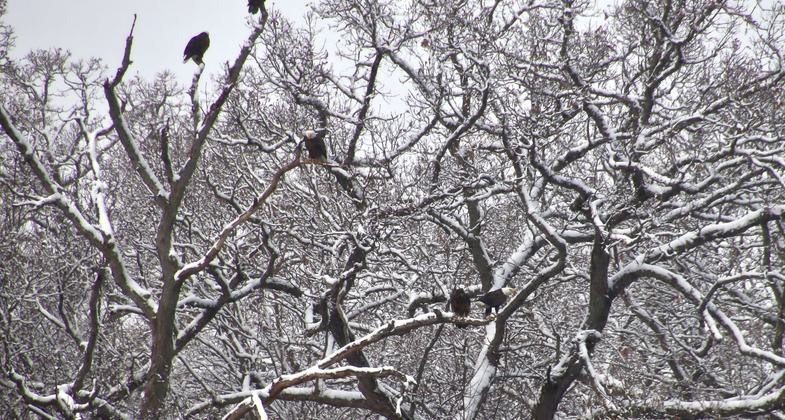
2023 Photo Contest Winner: Environmental Features, Flora, and Fauna. Photo by Joella Krause

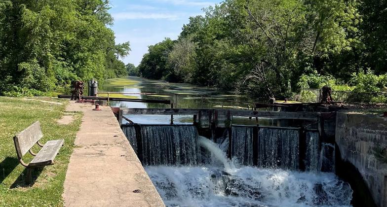
Musical Waterfall. Photo by Donna Mannon.

Golden Glory. Photo by Donna Mannon.

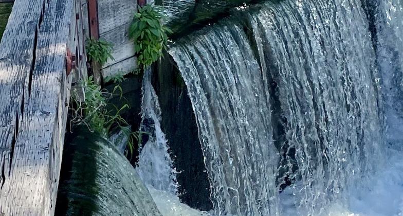
How the Water Falls. Photo by Donna Mannon.

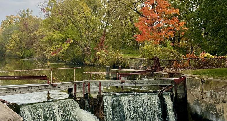
Waterfall in Autumn. Photo by Donna Mannon.

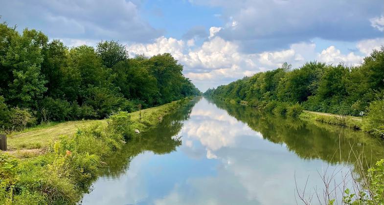
Perfect Day for Reflection. Photo by Donna Mannon.

Boaters on the Hennepin Canal. Photo by Ed Herrmann.

Along the trail.
Location: The Hennepin Canal Parkway State Park is a 104.5 mile linear park spanning five Illinois Counties (Bureau, Henry, Lee, Rock Island, and Whiteside)
- States: Illinois
- Counties: Bureau, Henry, Whiteside
The Hennepin Canal Parkway State Park is a 104.5-mile linear park spanning five Illinois Counties (Bureau, Henry, Lee, Rock Island, and Whiteside). Construction of the Canal got underway in 1892 and the first boat went through in 1907, reducing the distance from Chicago to Rock Island by 419 miles. The Hennepin was the first American canal built of concrete without stone-cut facings. The Hennepin Canal, which at one time was known as the Illinois and Mississippi Canal, was open to boat traffic until 1951. The Hennepin Canal provides a wide variety of recreational activities including fishing, boating, picnicking, canoeing, hiking, horseback riding, bicycling, and snowmobiling.
The Hennepin Canal is also steeped in history and is listed on the National Register of Historic Places. History, Natural Beauty, and Recreation make the Hennepin Canal Parkway State Park an important resource for all the communities along its banks.
Accessibility Information
No text provided.
Reviews
Madison Vandersee
Multi-use Opportunities
There are many options for recreation on this trail. Biking, walking, and kayaking each give you a different experience of the canal and its unique history and environment. You can spend anywhere from an hour to a whole day enjoying the resources. This trail is great in any season to get out and enjoy the area!
Allowed Uses:
Bicycling Equestrian Hiking/Walking Motorized vehicles, snowmobiling Snow, cross-country skiingOther Activities
- Fishing
- Snow, snow play general
Public Contact
Steve MoserIllinois Department of Natural Resources
16006-875 E. St.
Sheffield, IL 61361
[email protected] • (815) 454-2328
Contact the trail manager for current maps and visiting details.
More Details
- Elevation (low): 450
- Elevation (high): 646
- Elevation (cumulative): --
- Part of a Trail System? No
- National Designations: Main stem is part of the American Discovery Trail
- Surface (primary): Grass or Vegetation
- Surfaces (additional): Grass or Vegetation
- Tread Width (average): 120"
- Tread Width (minimum): --
- Running length (minimum): --
- Tread Grade (average, percent): 1
- Tread Grade (maximum): 8
- Running length (maximum): --
- Cross-slope (average, percent): --
- Cross-slope (maximum): --
- Running length (maximum): --
- Certified as an NRT
Jun 1, 2004


