High Line Canal Trail
check with the trail manager for updated details before visiting.
High Line Canal Trail
City, Town, or County
Frontcountry Trail
Urban Trail
- Length
71 miles
- Elevation Gain
--
- Route Type
out & back
- Length
71 miles - Elevation Gain
-- - Route Type
out & back
Discover Denver's nature, history, and rich culture along the 71-mile High Line Canal.
Location: Irrigation system pathway SE of Denver, I-25 to CO 30.
- States: Colorado
- Counties: Denver
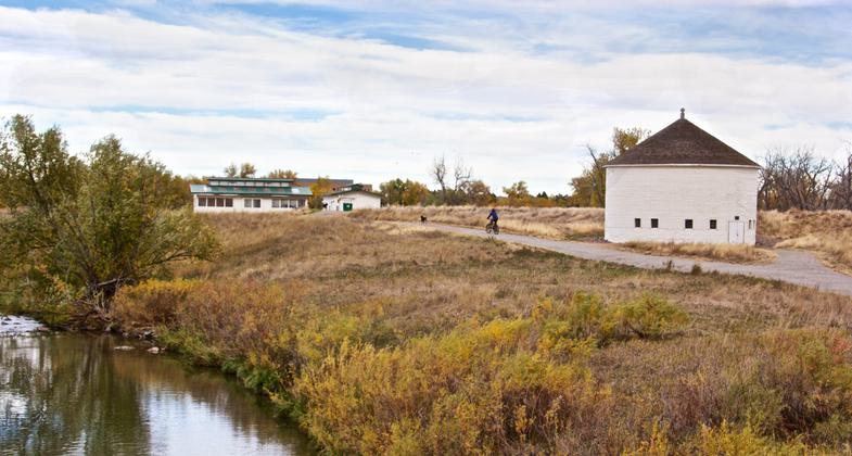
Discover Denver's nature, history, and rich culture along the 71-mile High Line Canal. An extraordinary feat of engineering now nearly 150 years old, the Canal is outliving its historic function as an irrigation utility and has taken on new life as a recreational and ecological resource. Relatively flat, with paved and soft-surface portions, the Canal trail gives everyone an opportunity to get outdoors. Run, walk, bike, or horseback ride from the foothills to the plains.
The Canal runs through 11 distinct communities and is cared for through partnerships between the High Line Canal Conservancy, Denver Water, the various jurisdictions, and UDFCD. The High Line Canal Conservancy is a nonprofit that was formed in 2014 with the mission to preserve, protect, and enhance the High Line Canal in partnership with the public. The Conservancy is providing collaborative leadership to reclaim the historic waterway for the region to ensure permanent protection for all 71 miles (over 860 acres), enhance public use, and improve the Canal's environmental health. For more information on the Conservancy, its work, and how to get involved visit highlinecanal.org.
Quick Facts:
- 71 miles (one of the country's longest urban trails)
- 860 acres (larger than NYC's Central Park)
- Connects to 72 adjacent open spaces
- 11 jurisdictions
- 98 street crossings
- 350,000 residents within a mile
- 500,000+ users per year
- 199 bird species
- 28 mammal species
- 15 reptile species
- 450 plant species
- 24,000 trees
Accessibility Information
No text provided.
Allowed Uses:
Bicycling Equestrian Hiking/WalkingOther Activities
- Wildlife viewing / observation
Public Contact
H. William WoodcockSouth Suburban Park & Recreation District
6631 S University Boulevard
Littleton, CO 80121
[email protected] • (303) 798-5131
Contact the trail manager for current maps and visiting details.
More Details
- Elevation (low): --
- Elevation (high): --
- Elevation (cumulative): --
- Part of a Trail System? No
- Surface (primary): Soil
- Surfaces (additional): Paved
- Tread Width (average): 0"
- Tread Width (minimum): --
- Running length (minimum): --
- Tread Grade (average, percent): --
- Tread Grade (maximum):
- Running length (maximum): --
- Cross-slope (average, percent): --
- Cross-slope (maximum): --
- Running length (maximum): --
- Certified as an NRT
Jun 1, 1971


