Highline Trail
check with the trail manager for updated details before visiting.
Highline Trail
USDA Forest Service
Backcountry Trail
- Length
50.2 miles
- Elevation Gain
--
- Route Type
out & back
- Length
50.2 miles - Elevation Gain
-- - Route Type
out & back
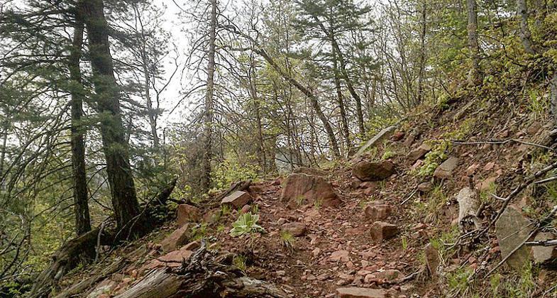
Steep, rocky terrain along the Mogollon Rim with spectacular views, canyons, brushy hills. Established in 1870, Zane Grey used the trail while hunting in the area. Travel route between homesteads, schools.
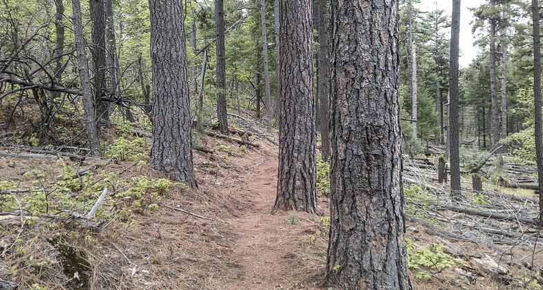
Highline Trail, Payson, Arizona. Photo by davidpinter/wiki.

Young and not so young enjoying the Highline Trail. Photo by Greg Lenon.
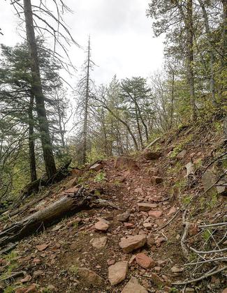
Highline Trail, Payson, Arizona. Photo by davidpinter/wiki.
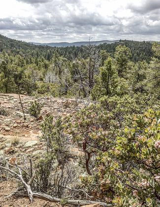
Highline Trail, Payson, Arizona. Photo by davidpinter/wiki.

Looking Northeast along Highline Trail. Photo by Jesse Off/wiki.
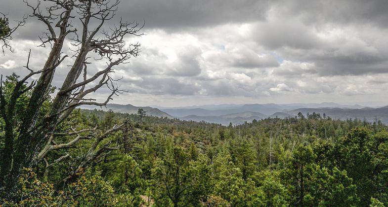
Highline Trail, Payson, Arizona. Photo by davidpinter/wiki.
Location: Rural/Backcountry
- States: Arizona
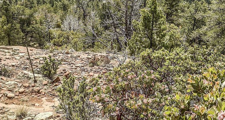
Beautiful vistas of rim canyons, brushy hills, and distant mountains. Unique rock formations and wonderful stands of Ponderosa pine. Fire is an important aspect of the wild environment. The Dude Fire of 1990 burned portions of the forest along the Highline Trail; thus, this trail is an ideal place to observe how our forests rejuvenate themselves after a fire. The Highline Trail, established in 1870, was used to travel between homesteads and to attend school in Pine. Zane Grey and Babe Haught used the Highline Trail while hunting. The portion of the Highline Trail from Washington Park Trailhead and Pine Trailhead is part of the Arizona Trail.
Accessibility Information
No text provided.
Allowed Uses:
No data provided.
Other Activities
- Camping
Public Contact
Jim PayneTonto National Forest
23/24 East McDowell Rd.
Phoenix, AZ 85006
(602) 225-5200
Contact the trail manager for current maps and visiting details.
More Details
- Elevation (low): --
- Elevation (high): --
- Elevation (cumulative): --
- Part of a Trail System? No
- Surface (primary): --
- Surfaces (additional): --
- Tread Width (average): 24"
- Tread Width (minimum): --
- Running length (minimum): --
- Tread Grade (average, percent): --
- Tread Grade (maximum):
- Running length (maximum): --
- Cross-slope (average, percent): --
- Cross-slope (maximum): --
- Running length (maximum): --
- Certified as an NRT
Nov 2, 1978

