Highway 237 Bikeway Trail
check with the trail manager for updated details before visiting.
Highway 237 Bikeway Trail
City, Town, or County
Urban Trail
- Length
5 miles
- Elevation Gain
--
- Route Type
out & back
- Length
5 miles - Elevation Gain
-- - Route Type
out & back
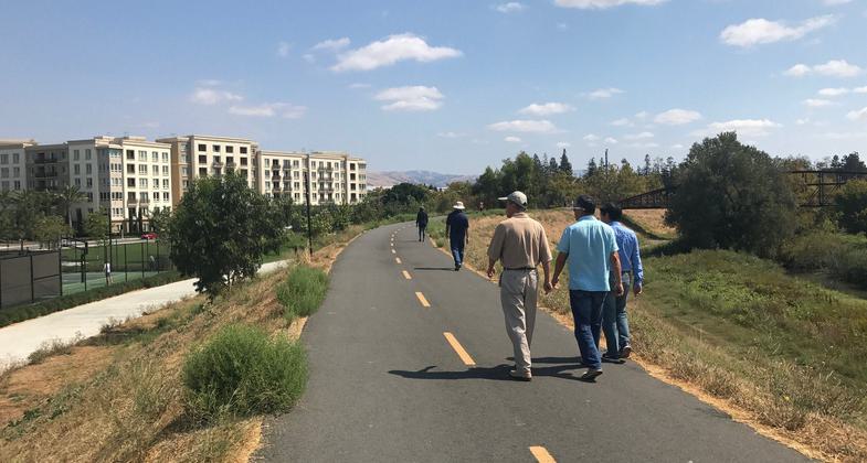
Part of the San Jose Trail Network, the Highway 237 Bikeway Trail serves as a primary commute route between employment and housing within San Jose and its neighbors; Milpitas and Sunnyvale.
Location: City of San Jose, California
- States: California
- Counties: Santa Clara
- Cities/Townships: San Jose
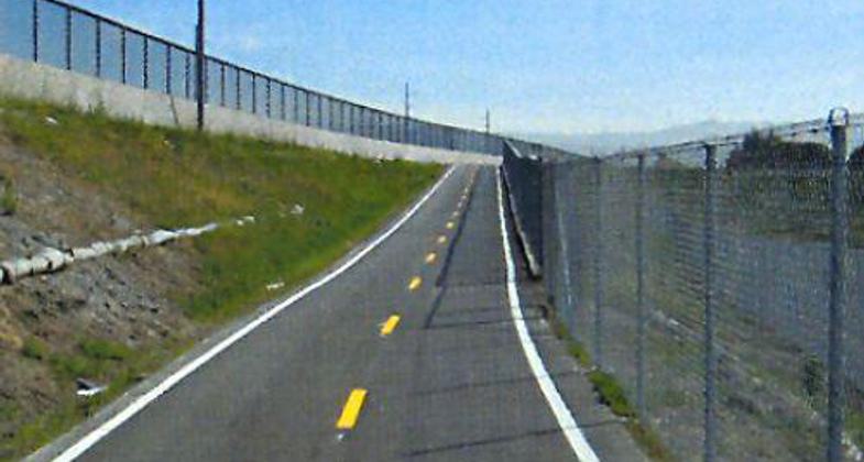
Along the Highway 237 Bikeway Trail, users follow the highway system but gain views of surrounding hillsides and can connect to two of the City's major trail systems; the Guadalupe River Trail and Coyote Creek Trail (both partially developed at this time) and reach the San Tomas Aquino Trail (City of Santa Clara).
The City of San Jose is strategically developing a 100-mile trail network by unifying 35 trail systems to provide active transportation and recreation for pedestrians, bicyclists, equestrians, and other users. The City has secured NRT designation for 16.4 miles over three trail systems.
Accessibility Information
No text provided.
Allowed Uses:
Bicycling Dogs, on leash Hiking/WalkingPublic Contact
Yves ZsuttyCity of San Jose - Trail Program
200 East Santa Clara Street
San Jose, CA 95113
[email protected] • (408) 793-5561
www.sjparks.org/trail
Contact the trail manager for current maps and visiting details.
More Details
- Elevation (low): 5
- Elevation (high): 10
- Elevation (cumulative): --
- Part of a Trail System? No
- Surface (primary): Paved
- Surfaces (additional): Rock, crushed
- Tread Width (average): 127"
- Tread Width (minimum): --
- Running length (minimum): --
- Tread Grade (average, percent): --
- Tread Grade (maximum): 5
- Running length (maximum): --
- Cross-slope (average, percent): 2
- Cross-slope (maximum): --
- Running length (maximum): --
- Certified as an NRT
May 25, 2009


