Historic Columbia River Hwy. State Trail
This information is a public record of the 2002 NRT application and may be out of date if it has not been updated by a trail manager --
check with the trail manager for updated details before visiting.
check with the trail manager for updated details before visiting.
Historic Columbia River Hwy. State Trail
State
Backcountry Trail
Frontcountry Trail
Urban Trail
- Length
10.8 miles
- Elevation Gain
--
- Route Type
out & back
- Length
10.8 miles - Elevation Gain
-- - Route Type
out & back
This trail was the first major paved highway in the Pacific Northwest and the first scenic highway constructed in the United States.
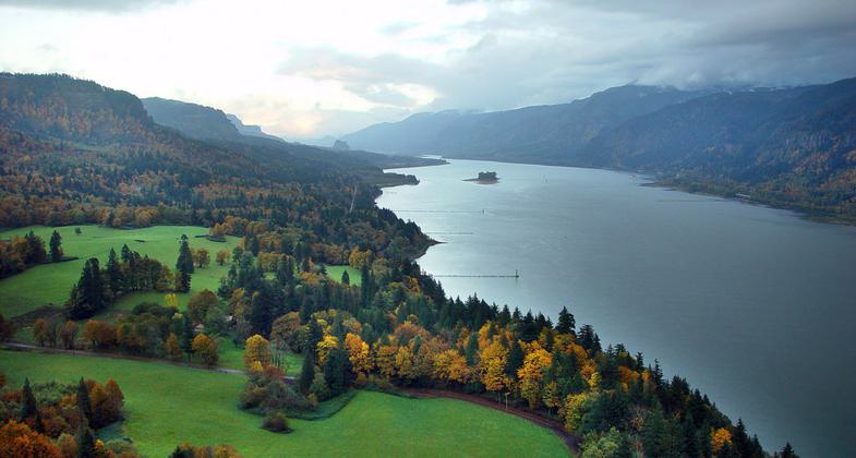
View of NRT taken from Washington side looking easterly from Cape Horn. Photo by Rich Deline.
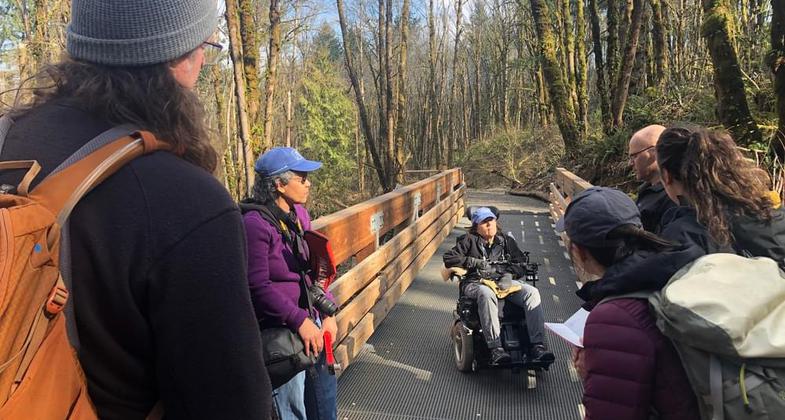
Winner 2022 NRT Photo Contest, Accessibility. Photo by Patrick Stark, USFWS.
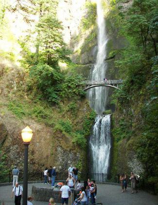
Location: Columbia River Gorge National Scenic Area
- States: Oregon
- Counties: Multnomah, Hood River, Wasco
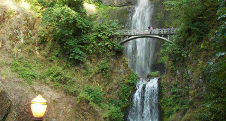
This trail was the first major paved highway in the Pacific Northwest and the first scenic highway constructed in the United States. The almost 11-mile converted road-trail features historic bridges, tunnels, and beautifully arched rock masonry walls. In addition to these unique features, the trail also provides recreational opportunities like biking and wildlife observation.
Accessibility Information
No text provided.
Allowed Uses:
Bicycling Hiking/WalkingPublic Contact
Kevin PriceOregon Parks & Recreation Dept.
P.O. Box 100
Corbett, OR 97019
[email protected] • (503) 695-2261
www.oregonstateparks.org+
Contact the trail manager for current maps and visiting details.
More Details
- Elevation (low): 100
- Elevation (high): 500
- Elevation (cumulative): --
- Part of a Trail System? No
- National Designations: Legacy Millennium
- State Designations: State Trail<comma> State Scenic By-Way
- Surface (primary): Paved
- Surfaces (additional): --
- Tread Width (average): 127"
- Tread Width (minimum): --
- Running length (minimum): --
- Tread Grade (average, percent): 5
- Tread Grade (maximum): 8
- Running length (maximum): --
- Cross-slope (average, percent): --
- Cross-slope (maximum): --
- Running length (maximum): --
- Certified as an NRT
May 31, 2002

