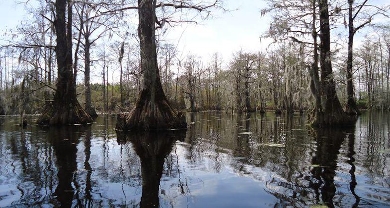
Historic Edenton Trail
This information is a public record of the 1977 NRT application and may be out of date if it has not been updated by a trail manager --
check with the trail manager for updated details before visiting.
check with the trail manager for updated details before visiting.
Historic Edenton Trail
City, Town, or County
- Length
1.9 miles
- Elevation Gain
--
- Route Type
out & back
- Length
1.9 miles - Elevation Gain
-- - Route Type
out & back
Location: Edenton, NC.
- States: North Carolina
- Counties: Chowan
Trail links a historic millpond setting on one end of Hwy 32 to downtown Edenton's waterfront resources of creeks and bay as well as the historic mill village site
Accessibility Information
No text provided.
Allowed Uses:
Dogs, on leash Hiking/WalkingOther Activities
- Fishing
- Wildlife viewing / observation
Public Contact
Anne Marie KnightonTown of Edenton
P.O. Box 300
Edenton, NC 27932
(252) 482-7352
Contact the trail manager for current maps and visiting details.
More Details
- Elevation (low): --
- Elevation (high): --
- Elevation (cumulative): --
- Part of a Trail System? No
- Surface (primary): --
- Surfaces (additional): --
- Tread Width (average): 72"
- Tread Width (minimum): --
- Running length (minimum): --
- Tread Grade (average, percent): --
- Tread Grade (maximum):
- Running length (maximum): --
- Cross-slope (average, percent): --
- Cross-slope (maximum): --
- Running length (maximum): --
- Certified as an NRT
Jun 28, 1977


