Holland Falls Trail
This information is a public record of the 1983 NRT application and may be out of date if it has not been updated by a trail manager --
check with the trail manager for updated details before visiting.
check with the trail manager for updated details before visiting.
Holland Falls Trail
USDA Forest Service
Backcountry Trail
- Length
1.5 miles
- Elevation Gain
--
- Route Type
out & back
- Length
1.5 miles - Elevation Gain
-- - Route Type
out & back
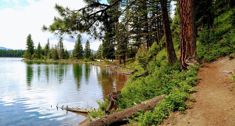
Holland Lake trail side. Photo by Kasie Haack.
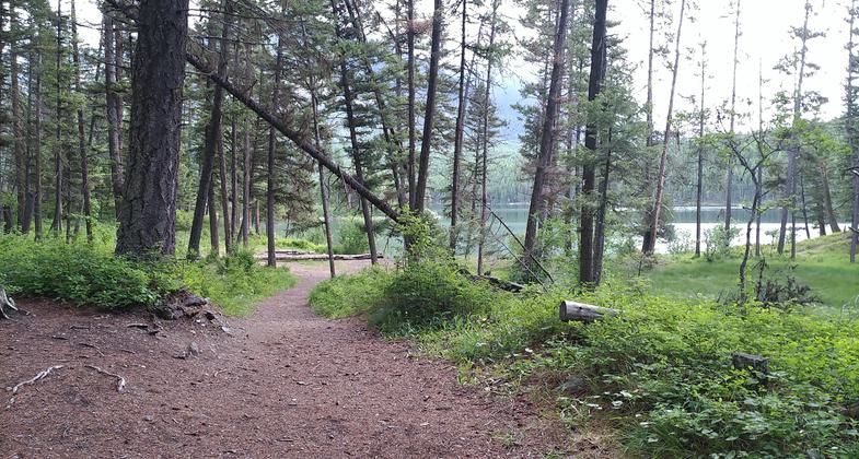
Trail. Photo by Kasie Haack.
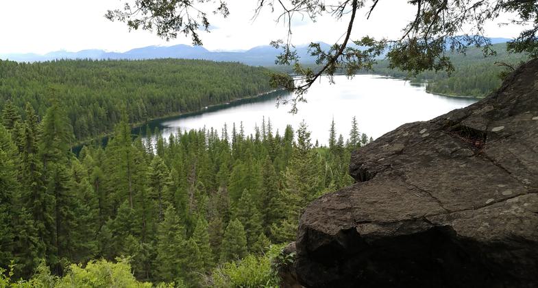
Holland Lake view from Holland falls. Photo by Kasie Haack.
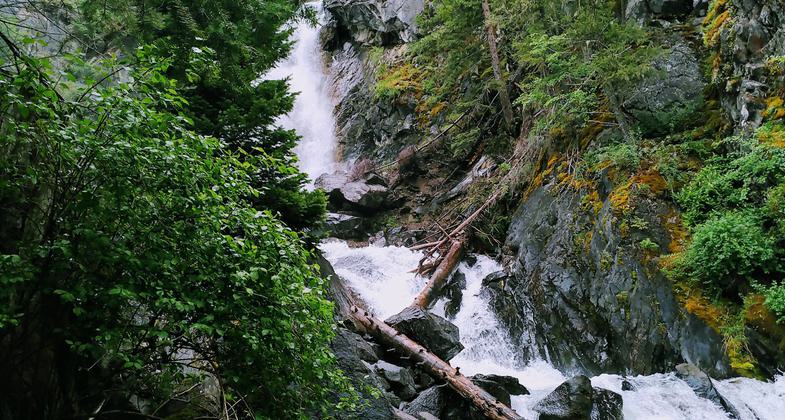
Holland Falls. Photo by Kasie Haack.
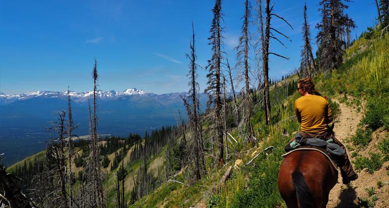
USFS employee trail crew. The horse, Lucky, has worked for the USFS more than 10 yrs. Photo by Fischer Gangemi.
Location: In Flathead NF
- States: Montana
- Counties: Missoula
The Holland Falls National Recreation Trail climbs about 750 feet. It begins at the junction of East Holland Lake Connector Trail #415 not far from the parking lot. This easy trail shadows the shoreline of Holland Lake and then gradually climbs to the foot of Holland Falls. The trail is open for the following uses: Hiking.
Accessibility Information
No text provided.
Allowed Uses:
Dogs, off leash Dogs, on leash Hiking/WalkingPublic Contact
Remy .H. PochelonFlathead National Forest, R-1
Swan Lake Ranger District
Big Fork, MT 59911
(406) 837-7500
Contact the trail manager for current maps and visiting details.
More Details
- Elevation (low): 4081
- Elevation (high): 4395
- Elevation (cumulative): --
- Part of a Trail System? No
- Surface (primary): Soil
- Surfaces (additional): --
- Tread Width (average): 36"
- Tread Width (minimum): --
- Running length (minimum): --
- Tread Grade (average, percent): --
- Tread Grade (maximum):
- Running length (maximum): --
- Cross-slope (average, percent): --
- Cross-slope (maximum): --
- Running length (maximum): --
- Certified as an NRT
Jul 18, 1983

