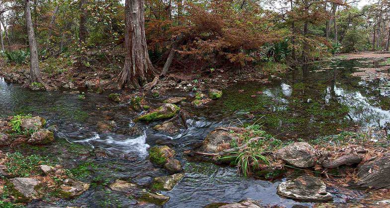
Honey Creek Trail
check with the trail manager for updated details before visiting.
Honey Creek Trail
National Park Service
Backcountry Trail
- Length
5 miles
- Elevation Gain
--
- Route Type
Loop
- Length
5 miles - Elevation Gain
-- - Route Type
Loop
The Honey Creek Loop Trail contains some of the most rugged and beautiful terrain in Big South Fork National River and Recreation Area.
Location: Access c. 8 miles N of Elgin.
- States: Tennessee
The Honey Creek Loop Trail contains some of the most rugged and beautiful terrains in the Big South Fork National River and Recreation Area.
The entire loop trail system is only 5.6 miles in length, travel time is slow and the going is very difficult. Long steep stairs are located along the Honey Creek Loop Trail.
Honey Creek Loop Trail requires hikers to cross creeks and at times to travel in the creek bed itself. Traveling through boulder fields may require using your hands and knees to climb over and among boulders. Trail tread in these sections is often uneven, wet, and slippery. Extreme care should be taken when hiking in these areas. It is recommended that you do not take young children and pets on this trail. To be safe and enjoy the scenery, allow a minimum of 1 hour hiking time per mile.
Accessibility Information
No text provided.
Allowed Uses:
Hiking/WalkingPublic Contact
Bowaters Southern Paper CompanyCalhoun, TN 37309
Contact the trail manager for current maps and visiting details.
More Details
- Elevation (low): --
- Elevation (high): --
- Elevation (cumulative): --
- Part of a Trail System? No
- Surface (primary): --
- Surfaces (additional): --
- Tread Width (average): 0"
- Tread Width (minimum): --
- Running length (minimum): --
- Tread Grade (average, percent): --
- Tread Grade (maximum):
- Running length (maximum): --
- Cross-slope (average, percent): --
- Cross-slope (maximum): --
- Running length (maximum): --
- Certified as an NRT
May 31, 1973


