Honeysuckle Trail
This information is a public record of the 1973 NRT application and may be out of date if it has not been updated by a trail manager --
check with the trail manager for updated details before visiting.
check with the trail manager for updated details before visiting.
Honeysuckle Trail
State
Backcountry Trail
- Length
0.5 miles
- Elevation Gain
--
- Route Type
out & back
- Length
0.5 miles - Elevation Gain
-- - Route Type
out & back

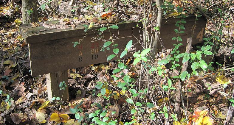
T. O. Fuller State Park in Memphis, Tennessee. Photo by Thomas R Machnitzki.

T. O. Fuller State Park. Photo by Thomas R Machnitzki.

T. O. Fuller State Park in Memphis, Tennessee. Nesting material dispenser supplying birds with shedded paper. Photo by Thomas R Machnitzki.
Location: At T.O. Fuller SP, SW of Memphis on SR 14.
- States: Tennessee
The Honeysuckle Trail was originally created (designated in 1973) for the visually impaired and was named for the multitude of flowers there to stimulate the sense of smell. It is now a 0.5 mile segment of the discovery trail, between Plant Rd and W Mitchell Rd.
Accessibility Information
No text provided.
Allowed Uses:
Hiking/WalkingPublic Contact
TN Department of Conservation2611 West End Ave.
Nashville, TN 37203
Contact the trail manager for current maps and visiting details.
More Details
- Elevation (low): --
- Elevation (high): --
- Elevation (cumulative): --
- Part of a Trail System? No
- Surface (primary): --
- Surfaces (additional): --
- Tread Width (average): 0"
- Tread Width (minimum): --
- Running length (minimum): --
- Tread Grade (average, percent): --
- Tread Grade (maximum):
- Running length (maximum): --
- Cross-slope (average, percent): --
- Cross-slope (maximum): --
- Running length (maximum): --
- Certified as an NRT
Jun 30, 1973

