Hunter Trail
check with the trail manager for updated details before visiting.
Hunter Trail
State
Backcountry Trail
- Length
3.5 miles
- Elevation Gain
--
- Route Type
out & back
- Length
3.5 miles - Elevation Gain
-- - Route Type
out & back
Begins on the north side from Barrett Loop and goes to the top of the peak. The trail climbs a resistant path typical of the Sonoran desert.
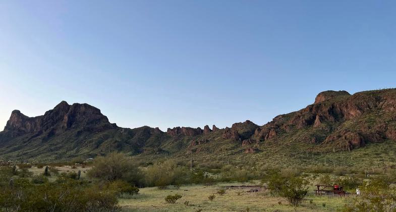
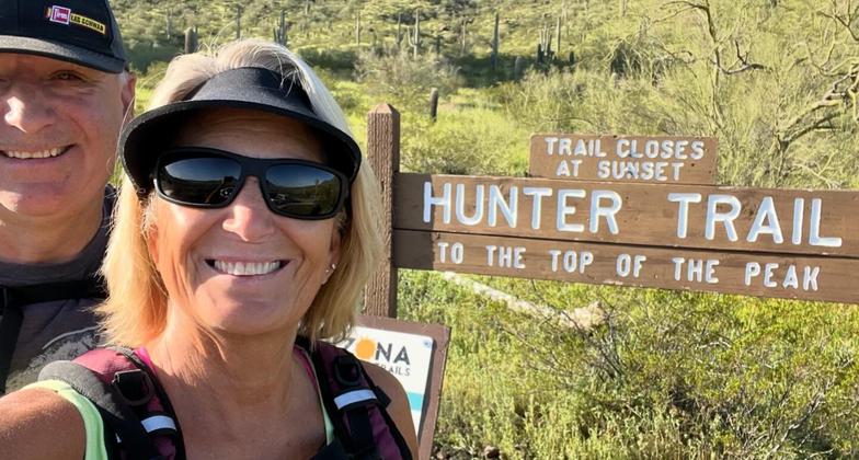
Beautiful morning before hiking the Hunter Trail. Photo by Wendy and Tom Ray

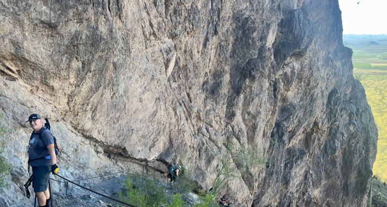
The trail was intense. More cables areas than expected!

The trail was intense. More cables areas than expected but the view is worth it!

The trail was intense. More cables areas than expected!

The trail was intense. More cables areas than expected!

The trail was intense. More cables areas than expected!

The trail was intense. More cables areas than expected!

Trail was intense! A lot more cable areas than expected!

Photo taken of the south face of Picacho Peak, Arizona. Photo by John Hunnicutt II.
Location: Backcountry, at Picacho Peak State Park, south of Elroy.
- States: Arizona
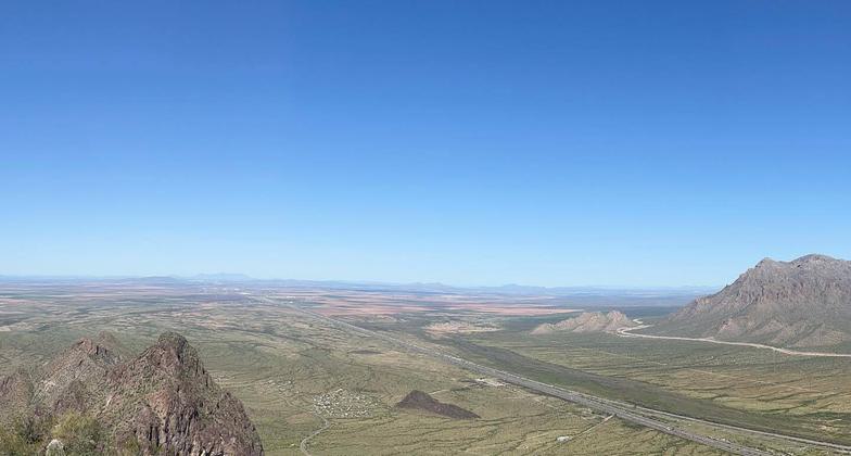
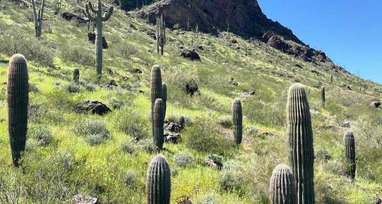
The prominent landmark Picacho Peak rises majestically 1,500 feet above the Sonoran Desert floor about 35 miles northwest of Tucson just off Interstate 10. Hiking, camping, and picnicking are the preferred pastimes here. Hikers enjoy the 2.0-mile climb to the top of Picacho Peak at 3,374', while the less adventurous can stroll along a trail at its base and marvel at the vibrant spectacle of the season's blooming wildflowers.
Picacho Peak looks much different up close than it does from Interstate 10 at 75 mph. Its beauty can only be appreciated at close range, with cliffs looming over trails and saguaros hiding in the shadows.
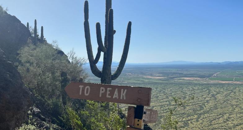
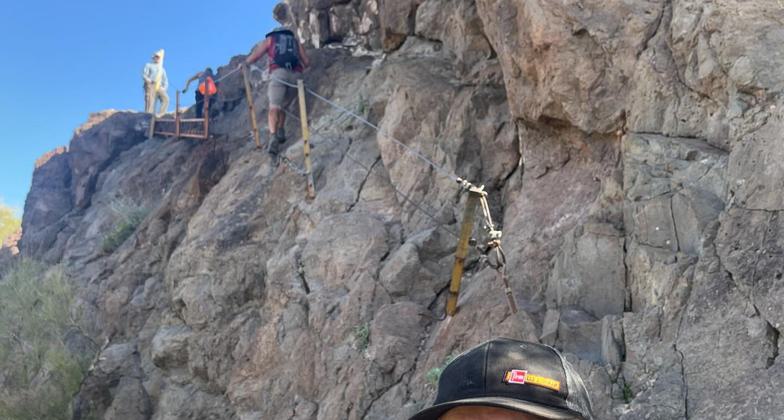
Picacho Peak is a distinct formation that can be seen for miles as you speed between Phoenix and Tucson. Hunter Trail is unlike many others in the state. Cables help you get up and down some sheer rock and other tricky spots. Fences and, at one point, a plank have been erected at the trickiest points to keep you on the mountain. Dogs should probably stay home. There is little flat terrain on your way up.
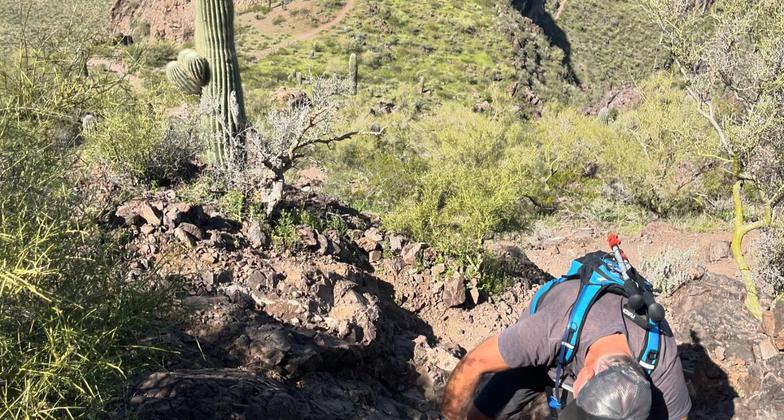
Despite the features designed to assist your climb, the trail is challenging. You'll have to step carefully backward to get down some steep descents. But the challenge makes the well-traveled trail fun, evidenced by dozens of snowbirds who hike to the summit.
Accessibility Information
No text provided.
Allowed Uses:
Dogs, on leash Hiking/WalkingOther Activities
- Camping
- Wildlife viewing / observation
Public Contact
Arizona State ParksPicacho Peak State Park
Picacho, AZ 85241
(520) 466-3183
Contact the trail manager for current maps and visiting details.
More Details
- Elevation (low): --
- Elevation (high): --
- Elevation (cumulative): --
- Part of a Trail System? No
- Surface (primary): --
- Surfaces (additional): --
- Tread Width (average): 24"
- Tread Width (minimum): --
- Running length (minimum): --
- Tread Grade (average, percent): --
- Tread Grade (maximum):
- Running length (maximum): --
- Cross-slope (average, percent): --
- Cross-slope (maximum): --
- Running length (maximum): --
- Certified as an NRT
Sep 11, 1974

