Inspiration Point
check with the trail manager for updated details before visiting.
Inspiration Point
USDA Forest Service
Backcountry Trail
- Length
0.8 miles
- Elevation Gain
--
- Route Type
out & back
(1 review)
- Length
0.8 miles - Elevation Gain
-- - Route Type
out & back
Nestled within LaRue-Pine Hills Research Natural Area is Inspiration Point, a National Recreation Trail because of its outstanding scenic qualities and beauty.
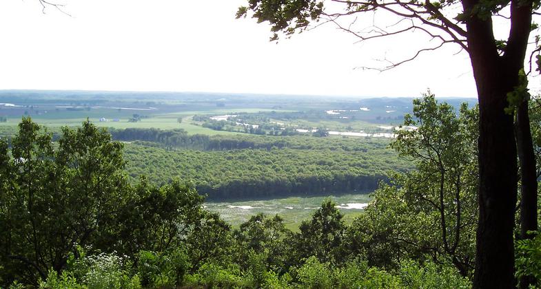
View from the bluffs. Photo by USFS.

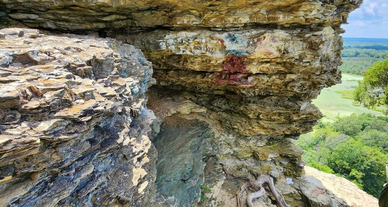
Shawnee National Forest's Youth Conservation Corps of 2023 removed the graffiti to naturalize the trail back to its original state of beauty. Photo by Alyssa Macuiba.

Shawnee National Forest's Youth Conservation Corps of 2023 after removing the graffiti to naturalize the trail back to its original state of beauty. Photo by Alyssa Macuiba.

Shawnee National Forest's Youth Conservation Corps of 2023 are taking in the views at Inspiration Point before removing the graffiti to naturalize the trail back to its original state of beauty. Photo by Alyssa Macuiba.

Inspiration Point is located within the ecologically diverse LaRue-Pine Hills Research Natural Area. Photo by Donna Kridelbaugh.

The lower portion of the trail dips into the forest at McCann Springs. Photo by Donna Kridelbaugh.

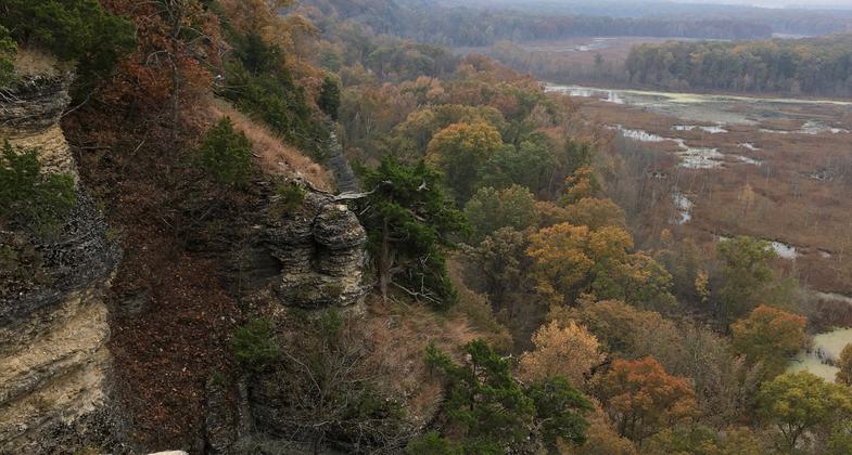
The upper portion of the trail travels atop the statuesque limestone bluffs. Photo by Donna Kridelbaugh.

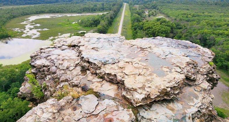
Inspiration Point offers panoramic views of the Mississippi River Valley. Photo by Donna Kridelbaugh.

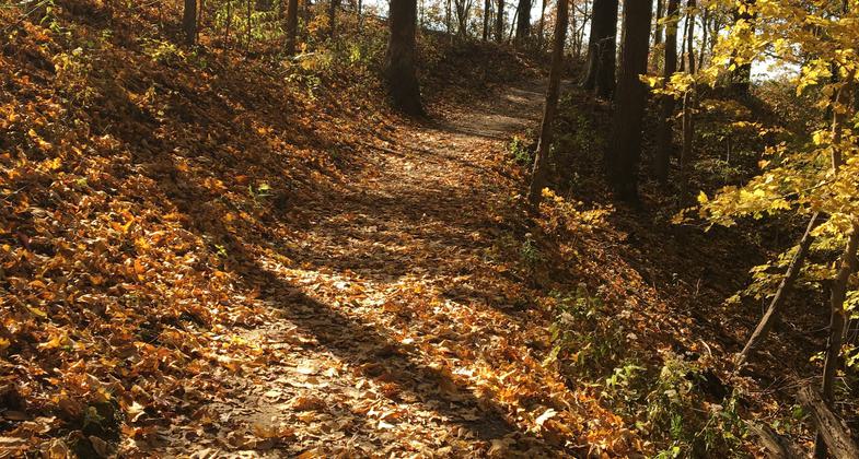
Inspiration Point is a 0.8-mile point-to-point trail with a natural surface. Photo by Donna Kridelbaugh.
Location: Shawnee National Forest, In Shawnee NF SW of Carbondale on Forest Rd. 236.
- States: Illinois
- Counties: Union
Nestled within LaRue-Pine Hills Research Natural Area is Inspiration Point, a National Recreation Trail because of its outstanding scenic qualities and beauty. Its point juts out from the main bluffs, offering a magnificent view of the Mississippi River Valley. Inspiration Point Trail is not a loop trail. Instead, it has two trailheads, both accessible along Pine Hills Road. The shorter, easier walk to the overlook is from the upper trailhead. From the lower trailhead, you wind past trees and wildflowers and climb bluffs.
Accessibility Information
No text provided.
Reviews
Donna Kridelbaugh
NRT Ambassador Review
Inspiration Point is a 0.8-mile point-to-point, hiking trail with trailheads and small parking areas at either termini, which are both accessible from Pine Hills Rd. The upper portion of the trail traverses a limestone bluff ridgeline that stands in stark contrast to the Mississippi River Valley below. There are panoramic views of the valley, Big Muddy River levee and wetland areas. The lower portion of the trail descends into the forested bottomlands to McCann Springs. Inspiration Point is located within the ecologically diverse LaRue-Pine Hills Research Natural Area, known for its infamous"Snake" Road. As such, no camping or campfires are allowed in this area. Pine Hills Rd. also provides access to the River-to-River Trail, picnicking spots and scenic overlooks, and Pine Hills campground. To note, Inspiration Point itself is actually a rock formation that juts out from the main bluff. However, there is only a social trail that leads to the point, whereas hikers must scramble down a small decline and then walk a short, peninsular track out on the rock. It doesn't appear to be an official, developed trail and could be unsafe, especially in adverse weather conditions, so use best judgement. This point also is a popular hangout spot, and, unfortunately, the rock has been marred with graffiti. Please leave no trace while on the trail by packing out your trash and minimizing your impacts, so everyone can enjoy the natural beauty of this unique place.
Allowed Uses:
Hiking/WalkingOther Activities
- Wildlife viewing / observation
Public Contact
Shawnee National ForestMississippi Bluffs Ranger District
Jonesboro, IL 62952
(618) 833-8576
www.fs.usda.gov/shawnee
Contact the trail manager for current maps and visiting details.
More Details
- Elevation (low): 400
- Elevation (high): 580
- Elevation (cumulative): --
- Part of a Trail System? No
- Surface (primary): Soil
- Surfaces (additional): Rock, crushed
- Tread Width (average): 30"
- Tread Width (minimum): --
- Running length (minimum): --
- Tread Grade (average, percent): 8
- Tread Grade (maximum): 34
- Running length (maximum): --
- Cross-slope (average, percent): --
- Cross-slope (maximum): --
- Running length (maximum): --
- Certified as an NRT
Jan 31, 1980

