Island Line Trail
check with the trail manager for updated details before visiting.
Island Line Trail
City, Town, or County
Rail Trail
- Length
14 miles
- Elevation Gain
--
- Route Type
out & back
(1 review)
- Length
14 miles - Elevation Gain
-- - Route Type
out & back
The Island Line Trail is a 14-mile (23 km) rail trail in northwest Vermont. It comprises the Burlington Bike Path (Burlington), Causeway Park (Colchester) and the Allen Point Access Area (South Hero).
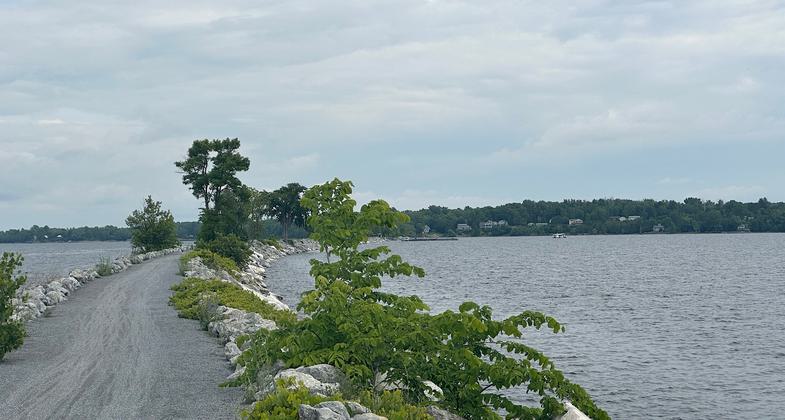
Causeway. Photo by Janie Walker
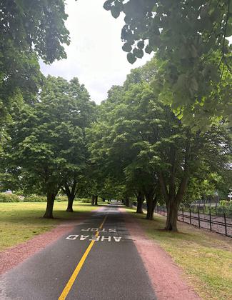
In Burlington
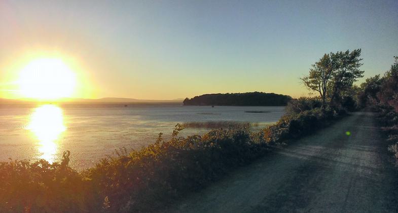
The Island Line Trail at sunset. Photo by SkipperRipper/wiki.
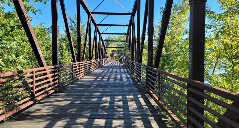
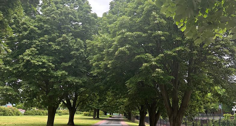
Shadows. Photo by Mark Rutkowski.
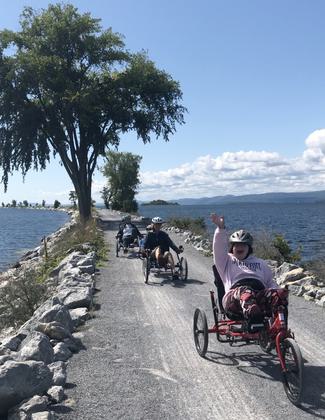
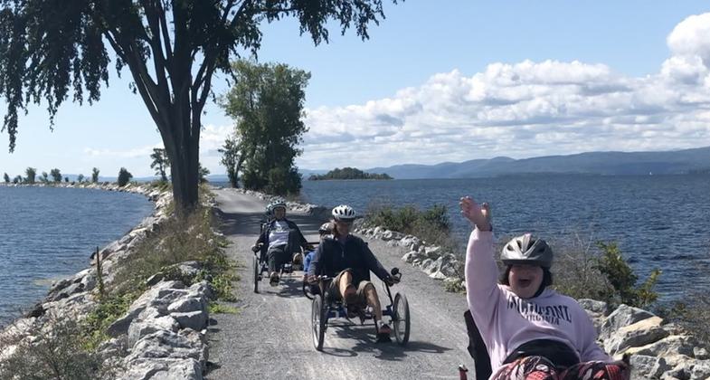
Vermont Adaptive Ski and Sports particpants summer smiles and fun. Photo by Molly Tobin.
Location: Railtrail along the east shore of Lake Champlain in western Vermont, connecting the towns of Burlington, Colchester, and South Hero.
- States: Vermont
- Counties: Chittenden, Grand Isle
- Cities/Townships: Burlington, Colchester, South Hero
The Island Line Trail is a 14-mile (23 km) rail trail in northwest Vermont. It comprises the Burlington Bike Path (Burlington), Causeway Park (Colchester), and the Allen Point Access Area (South Hero). The trail follows the route of the Rutland Railroad's Island Line, built in 1901. The northern three miles of the trail are located on a causeway that crosses from Colchester to South Hero. A seasonal ferry carries cyclists and pedestrians across the 200-ft gap (boat channel) in the causeway near the trail's northern end.
Accessibility Information
No text provided.
Reviews
Janie Walker
Perfect bike path
This 14-mile trail is actually two bike paths put together: the Burlington Greenway starting at Oakledge Park and the Colchester Causeway until Martin Road on South Hero Island. This is a lovely bike path that is heavily used by a lot of polite locals on bikes and rollerblades. Lots of joggers and casual walkers, too. The path goes right by the lakefront, so one sees beautiful views of the Adirondacks across the water, and you pass the Vermont Railway, parks where concerts are held, restaurants, and a University of Vermont science facility. Leaving the main area of Burlington, there are trailside workout stations, followed by residential areas with beautiful trees and private beaches. Eventually you get to an area where you need to cautiously go down a few streets before crossing the Colchester Bog Natural area (two giant turtles were happily digging up a bunch of dirt by the trail as I passed) and heading out onto the causeway, a miles-long narrow strip of land extending into Lake Champlain and toward a 200-foot gap that requires a short trip on a bike ferry to cross. While on that causeway and headed north, you'll have the Adirondacks and New York across the water to your left, and the Green Mountains and Vermont across the water to your right. Once across the gap, you continue about two miles to a residential road on South Hero Island where the bike route continues but the official Island Line Trail ends. Note that the bike ferry is seasonal. See localmotion.org for details. And donate when you ride! Suggested amount is $5 each way. June 10, 2023
Allowed Uses:
Bicycling Swimming Dogs, on leash Hiking/Walking Snow, cross-country skiingOther Activities
- Heritage and history
- Snow, snow play general
- Wildlife viewing / observation
Public Contact
Kevin RoseLocal Motion
1 Steele Street
Burlington, VT 05401
[email protected] • (802) 652-2453
www.localmotion.org
Contact the trail manager for current maps and visiting details.
More Details
- Elevation (low): --
- Elevation (high): --
- Elevation (cumulative): --
- Part of a Trail System? No
- Surface (primary): Paved
- Surfaces (additional): Rock, crushed
- Tread Width (average): 0"
- Tread Width (minimum): --
- Running length (minimum): --
- Tread Grade (average, percent): --
- Tread Grade (maximum):
- Running length (maximum): --
- Cross-slope (average, percent): --
- Cross-slope (maximum): --
- Running length (maximum): --
- Certified as an NRT
Jun 3, 2005

