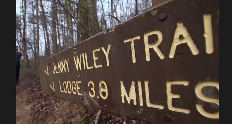
Jenny Wiley
check with the trail manager for updated details before visiting.
Jenny Wiley
State
- Length
213 miles
- Elevation Gain
--
- Route Type
out & back
- Length
213 miles - Elevation Gain
-- - Route Type
out & back
Location: Connects Jenny Wiley State Park N to Ohio River crossing US 23 at both ends, with other crossings at US 460, SR 172, SR J, US 60, I-64, and State Route 253. (recertified 1991)
- States: Kentucky
The JWT stretched from South Portsmouth in Greenup County to the lodge at Jenny Wiley State Park in Floyd County and was first opened in 1980. Designed to commemorate the path pioneer woman Jenny Wiley followed during her abduction by Native Americans in 1789 from her home near present-day Tazewell, Va., and her subsequent escape. The trail touches some of the most scenic and distinct geographic features in the region including the Pottsville Escarpment and Elliott County's scenic Devil's Fork Canyon in addition to passing other landmarks.
Accessibility Information
No text provided.
Allowed Uses:
Hiking/WalkingPublic Contact
Jenny Wiley State Resource Park75 Theatre Court
Prestonburg, KY 41653
[email protected] • (606) 889-1790
arks.ky.gov/findparks/resortparks/jw
Contact the trail manager for current maps and visiting details.
More Details
- Elevation (low): --
- Elevation (high): --
- Elevation (cumulative): --
- Part of a Trail System? No
- Surface (primary): --
- Surfaces (additional): --
- Tread Width (average): 0"
- Tread Width (minimum): --
- Running length (minimum): --
- Tread Grade (average, percent): --
- Tread Grade (maximum):
- Running length (maximum): --
- Cross-slope (average, percent): --
- Cross-slope (maximum): --
- Running length (maximum): --
- Certified as an NRT
Jul 28, 1980


