Jim Mayer Riverswalk Trail
check with the trail manager for updated details before visiting.
Jim Mayer Riverswalk Trail
City, Town, or County
Backcountry Trail
Frontcountry Trail
Rail Trail
Urban Trail
- Length
3.1 miles
- Elevation Gain
--
- Route Type
out & back
- Length
3.1 miles - Elevation Gain
-- - Route Type
out & back
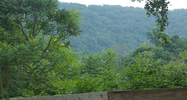
Named for a local conservationist, the Jim Mayer Riverswalk Trail is a delightful, 3.1-mile (5k) urban rail-trail on the east end of the City of Johnstown. Following the Stonycreek River, the trail begins in Riverside on Michigan Ave. and ends in Hornerstown on Messenger St., near Sandyvale Memorial Gardens & Conservancy. This trail offers beautiful views of the river, abundant bird-life and wildflowers, picturesque Buttermilk Falls and serenity within an urban setting.

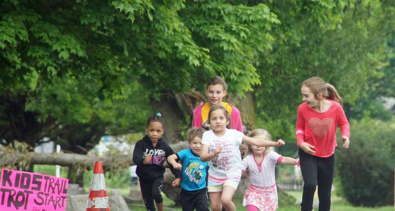
Mayer Trail - 2016 Family Fun Run - kids!.

2020 NRT Photo Contest Winner - Health and Fitness. Photo by Cory Shoff.

Jim Mayer Trail wooden footbridge. Photo credit: Erica Claycomb.

Woman runner on the Jim Mayer Trail Family Fun Run, along the Stonycreek River in Johnstown PA. Photo credit: Erica Claycomb.

Jim Mayer Trail Family Fun Run. Photo credit: Erica Claycomb.

Jim Mayer Trail - 'cycling trees' Mural Art on the concrete abutment.

Jim Mayer Trail - flowery Mural Art along the Stonycreek River.

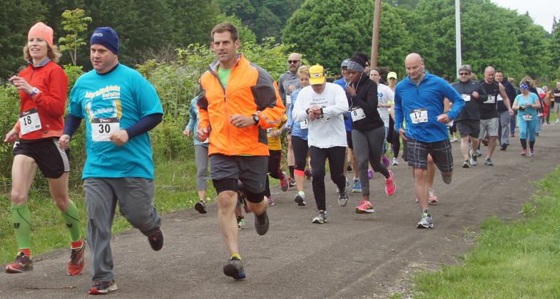
Trail Run racers along the Jim Mayer Trail and the Stonycreek River in Johnstown PA. Photo credit: Erica Claycomb.

Teens sit by the Stonycreek River, along the Jim Mayer Trail. Photo credit: Erica Claycomb.

Jim Mayer Trail sign. Photo credit: Erica Claycomb.
Location: a 3.1 mile Rail Trail that connects Riverside in Johnstown PA to Sandyvale Cemetery Trail in Johnstown PA
- States: Pennsylvania
- Counties: Cambria
- Cities/Townships: Stoneycreek Township, Ferndale Borough, City of Johnstown
Named for a local conservationist, the Jim Mayer Riverswalk Trail is a delightful, 3.1-mile (5k) urban rail-trail on the east end of the City of Johnstown. Following the Stonycreek River, the trail begins in Riverside on Michigan Ave. and ends in Hornerstown on Messenger St., near Sandyvale Memorial Gardens & Conservancy. This trail offers beautiful views of the river, abundant bird-life and wildflowers, picturesque Buttermilk Falls, and serenity within an urban setting.
This trail is also being planned to be a connector through the City of Johnstown to The Path of the Flood Trail which is already a National Recreation Trail and Part of the Pittsburgh to Harrisburg Main Line Canal Greenway. The Jim Mayer Riverswalk Trail will also be a connector and part of the 9/11 National Memorial Trail.
The Cambria County Conservation & Recreation Authority continues to partner with many organizations in our Trail Development. Cam Tran has donated monies from the salvage of Rails on this property and we continue to work with the Alternative Community Resource Program. (a local 501c3 helping underprivileged youth). The City of Johnstown donated use of equipment and board members have also offered time to help build this section of trail. We are also working with the Moxham Renaissance, another local 501c3 that own property adjacent to the trail at Central Ave to build a parklet with a pavilion, restrooms, and trailhead parking.
This project aligns with the Laurel Highlands Conservation Landscape Mission by extending and promoting a natural trail asset in our region and by making recreational trail use more accessible in the Greater Johnstown area giving people more opportunities for wellness and enhanced recreational experiences and connecting other trails systems promoting tourism and economic development.
The Cambria County Conservation & Recreation Authority has also partnered with the Greater Johnstown School District in which students created a Maker Space to build items such as park benches/gazebos /picnic tables to enhance the trail. The trail currently wraps around the High School.
We also work with the Greater Johnstown School District, Conemaugh Hospital, and local businesses to hold events on the trail including the events that we as an organization hold. This is quite a community asset.
The Cambria County Conservation and Recreation Authority currently maintains this trail. Our rules and safety features are as follows:
Trails, Bike-ways and Paths are open DUSK to DAWN.
Please respect the environment and follow the below safety rules.
1. Be Courteous!
2. Ride and Walk on Right.
3. Pass on the Left.
4. Bicyclists yield to all others.
5. Alert others when passing. Please announce in a loud voice, "on your left" before passing anyone.
6. Obey all traffic signs, laws, and signals.
7. When crossing roads, walk bikes and watch for cars.
8. Leash and pick up after your pet
9. Do not litter!
10. Respect the trail, the environment, and other trail users.
We have also joined Young Lungs at Play to promote the trails as a smoke-free/ drug-free environment.
Website: http://www.cambriaconservationrecreation.com/jim-mayer-riverswalk-trail/
Accessibility Information
No text provided.
Allowed Uses:
Bicycling Hiking/Walking Snow, cross-country skiing Snow, snowshoeingOther Activities
- Heritage and history
- Snow, snow play general
Public Contact
Clifford KitnerCambria County Conservation & Recreation Authority
401 Candlelight Drive
Ebensburg, PA 15931
[email protected] • (814) 472-2110
Contact the trail manager for current maps and visiting details.
More Details
- Elevation (low): --
- Elevation (high): --
- Elevation (cumulative): --
- Part of a Trail System? No
- Surface (primary): Paved
- Surfaces (additional): Rock, crushed
- Tread Width (average): 0"
- Tread Width (minimum): 0
- Running length (minimum): --
- Tread Grade (average, percent): --
- Tread Grade (maximum):
- Running length (maximum): --
- Cross-slope (average, percent): 0
- Cross-slope (maximum): --
- Running length (maximum): --
- Certified as an NRT
May 16, 2018


