Kelly's Run-Pinnacle Trail System
check with the trail manager for updated details before visiting.
Kelly's Run-Pinnacle Trail System
Private
Backcountry Trail
- Length
7.6 miles
- Elevation Gain
--
- Route Type
out & back
- Length
7.6 miles - Elevation Gain
-- - Route Type
out & back
This preserve has mostly steep climbing from about 400 to 700 feet elevation, but there is a well-used equestrian path, and deer trails. The route along the stream is fairly level.

Asylum Township. Photo by Nicholas A. Tonelli wiki.

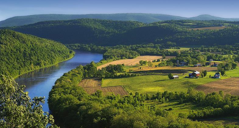
Pinaccle Overlook is a starting point for the Kelly's Run Trail. Photo by PDCNR.

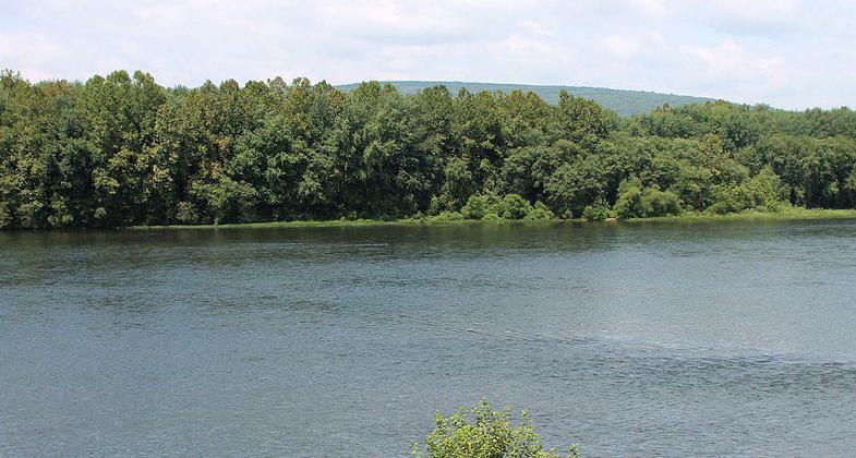
West Branch of Susquehanna River. Photo by Jakec wiki.
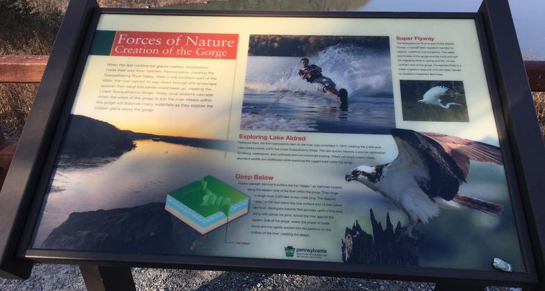
Location: Along Susquehanna River at Holtwood Power Plant.
- States: Pennsylvania
The remains of an old rocky road are visible where flat schistic rocks have been placed side by side in and beside the stream. The Conservancy's Kelly's Run Pinnacle Preserve now encompasses the Conservancy's Kelly's Run trails, the former PPL Pinnacle Preserve, and the former PPL Holtwood Nature Preserve.
This preserve has mostly steep climbing from about 400 to 700 feet elevation, but there is a well-used equestrian path and deer trails. The route along the stream is fairly level. The westernmost part of the tract, with a small tributary to Kelly's Run, has a cobblestone trail that allows easy access to this beautiful spot.
Accessibility Information
No text provided.
Allowed Uses:
Hiking/WalkingOther Activities
- Hunting
Public Contact
Lancaster County Conservancy117 South West End Avenue
Lancaster, PA 17608
[email protected] • (717) 392-7891
www.lancasterconservancy.org
Contact the trail manager for current maps and visiting details.
More Details
- Elevation (low): --
- Elevation (high): --
- Elevation (cumulative): --
- Part of a Trail System? No
- Surface (primary): Soil
- Surfaces (additional): --
- Tread Width (average): 0"
- Tread Width (minimum): --
- Running length (minimum): --
- Tread Grade (average, percent): --
- Tread Grade (maximum):
- Running length (maximum): --
- Cross-slope (average, percent): --
- Cross-slope (maximum): --
- Running length (maximum): --
- Certified as an NRT
Sep 30, 1976

