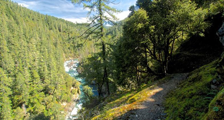
Kelsey Trail (Elbow Springs-Lake Harrington)
check with the trail manager for updated details before visiting.
Kelsey Trail (Elbow Springs-Lake Harrington)
USDA Forest Service
Backcountry Trail
- Length
10.75 miles
- Elevation Gain
--
- Route Type
out & back
- Length
10.75 miles - Elevation Gain
-- - Route Type
out & back
This trail is basically a ridge top trail and provides spectacular views.
Location: At SW edge of Smith River NRA, c. 20 mi. SW of Crescent City.
- States: California
- Counties: Siskiyou
This is the trailhead for the Kelsey National Recreation Trail leading into the Siskiyou Wilderness and providing access to Bear Lakes. The Kelsey Trail once stretched from Crescent City inland to Fort Jones. It was a main supply route in the 1850s for the fort and brought much-needed supplies to the miners in the goldfields. Water is scarce on this trail. Not recommended for stock use. The turn-off is labeled Bear Lakes.
Note: A wildfire burned through the portion of the Siskiyou Wilderness accessed by the Elbow Springs trailhead in 2017. You may encounter numerous fallen trees along the Kelsey Trail.
Accessibility Information
No text provided.
Allowed Uses:
Hiking/WalkingPublic Contact
Patrick GarrahanUSDA Forest Service
P.O. Box 19
Happy Camp, CA 96039
[email protected] • (530) 493-1718
Contact the trail manager for current maps and visiting details.
More Details
- Elevation (low): 4400
- Elevation (high): 5200
- Elevation (cumulative): --
- Part of a Trail System? No
- Surface (primary): Soil
- Surfaces (additional): Soil
- Tread Width (average): 24"
- Tread Width (minimum): --
- Running length (minimum): --
- Tread Grade (average, percent): 5
- Tread Grade (maximum): 15
- Running length (maximum): --
- Cross-slope (average, percent): --
- Cross-slope (maximum): --
- Running length (maximum): --
- Certified as an NRT
May 31, 1989


