Kings Mountain Gateway Trail
check with the trail manager for updated details before visiting.
Kings Mountain Gateway Trail
City, Town, or County
Backcountry Trail
Frontcountry Trail
Rail Trail
Urban Trail
- Length
7 miles
- Elevation Gain
--
- Route Type
out & back
- Length
7 miles - Elevation Gain
-- - Route Type
out & back
The Gateway Trail is a 7.5 mile multi-purpose trail providing opportunities for walking, hiking, and biking. We chose the name"Gateway Trail", because the City of Kings Mountain is commonly referred to as the"Gateway to the Parks" due to their close proximity to a national park and two state parks.

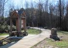
Beginning of trail at the NC216 trail head. Photo by Bill McCarter
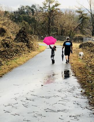
Nature Trail Treasures. Photo by Kinsley King.
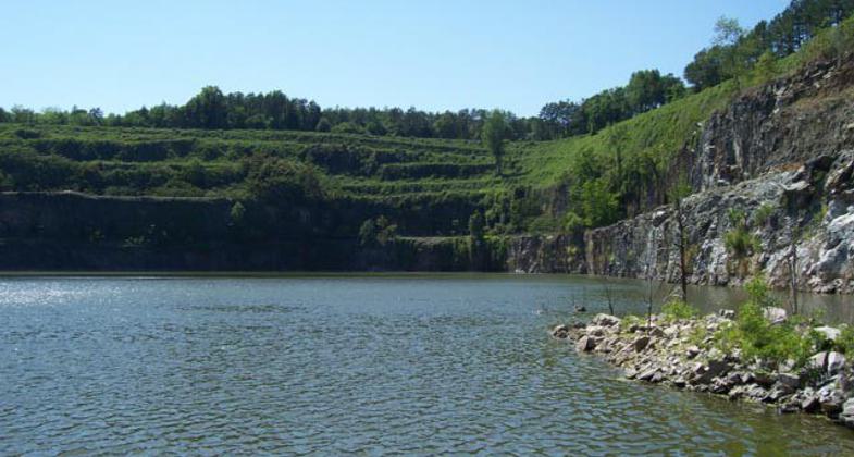
Old quarry
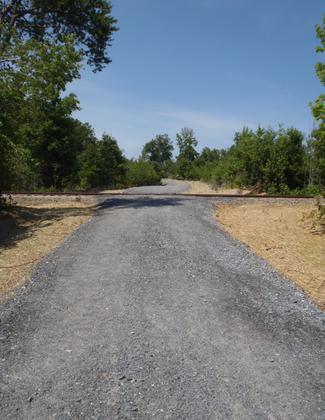
Trail crossing private rail line
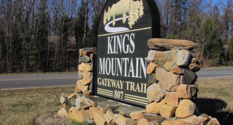
Sign at Trailhead

Bridge over South Creek

Boardwalk over Kings Creek
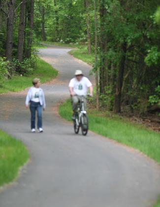
Biker & Walker
Location: 807 S Battleground Av, Kings Mountain, NC future connection will provide connection with Crowder's Mountain State Park.
- States: North Carolina
- Counties: Cleveland
- Cities/Townships: Kings Mountain
The Kings Mountain Gateway Trail opened in November 2009. This multi-purpose trail will connect downtown Kings Mountain with a new visitor center at Crowder's Mountain State Park, providing opportunities for walking, hiking, and biking. We chose the name Gateway Trail because the City of Kings Mountain is commonly referred to as the Gateway to the Parks, due to its close proximity to a national park and two state parks.
Over $800,000 in trail easements have been donated to the county by four large corporate landowners. At the trailhead, we have restrooms, a picnic shelter, and a short nature trail for kids. Adjacent to the trailhead is a paved walking trail that skirts the edge of an active quarry, and loops back to the parking lot along an old rail line that was used to haul rock.
The Foote Trail, named for Foote Mineral Corporation now called Rockwood Lithium, extends along the edge of the mine, crossing South Creek and Kings Creek, then uses an abandoned bridge to cross I-85. This gravel trail has recently been designated as part of the Carolina Thread Trail network. Several scenic overlooks along the way offer excellent views of Kings Mountain & Crowder's Mountain. Future extensions will provide a connection to Boulders Access, a new public access facility at Crowder's Mountain State Park.
Once the connection is made to Crowder's Mountain State Park (5126 acres), visitors can access a network of trails connecting Kings Mountain State Park in SC (6885 acres), and Kings Mountain National Military Park (3945 acres). The military park is also the terminus of the Over-mountain Victory National Historic Trail.
The Foote Trail will also connect with City Lake and Davidson Lake, once a pristine source of drinking water for the city. These lakes are no longer used for public water, the city owns 166 acres surrounding these lakes, providing a unique opportunity for passive recreation.
Cleveland County, Martin Marietta and Rockwood Lithium, Carolina Thread Trail, Crowders Mountain State Park, Kings Mountain State Park, and Kings Mountain Military Park are our key partners, along with our many friends.
Accessibility Information
No text provided.
Allowed Uses:
Bicycling Dogs, on leash Hiking/WalkingPublic Contact
Shirley BrutkoKings Mountain GatewayTrails Inc
PO Box 859
Kings Mountain, NC 28086
[email protected] • (704) 739-9663
Contact the trail manager for current maps and visiting details.
More Details
- Elevation (low): 780
- Elevation (high): 1070
- Elevation (cumulative): --
- Part of a Trail System? No
- State Designations: Carolina Thread Trail, NC Rail Trail
- Surface (primary): Rock, crushed
- Surfaces (additional): Paved, Boardwalk, Rock, crushed
- Tread Width (average): 120"
- Tread Width (minimum): 120
- Running length (minimum): --
- Tread Grade (average, percent): 5
- Tread Grade (maximum): 10
- Running length (maximum): --
- Cross-slope (average, percent): 5
- Cross-slope (maximum): --
- Running length (maximum): --
- Certified as an NRT
May 29, 2013

