Kings Mountain Hiking
This information is a public record of the 1981 NRT application and may be out of date if it has not been updated by a trail manager --
check with the trail manager for updated details before visiting.
check with the trail manager for updated details before visiting.
Kings Mountain Hiking
National Park Service
Backcountry Trail
- Length
17 miles
- Elevation Gain
--
- Route Type
out & back
- Length
17 miles - Elevation Gain
-- - Route Type
out & back
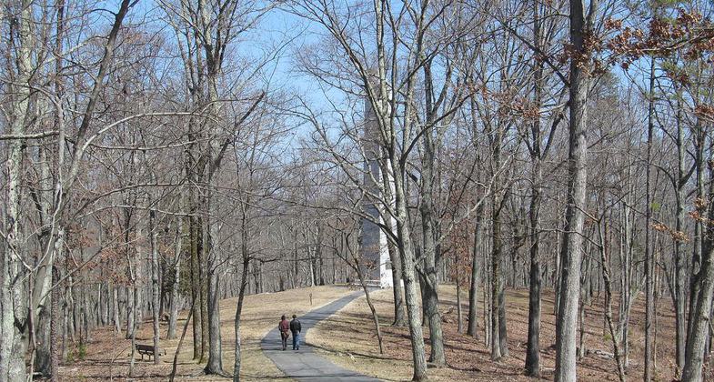
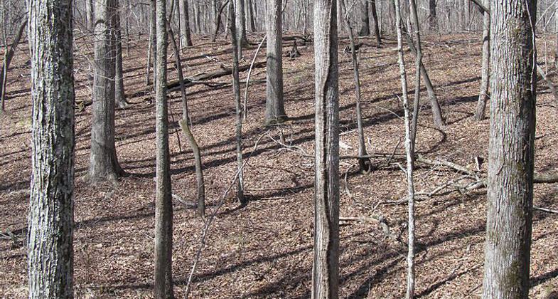
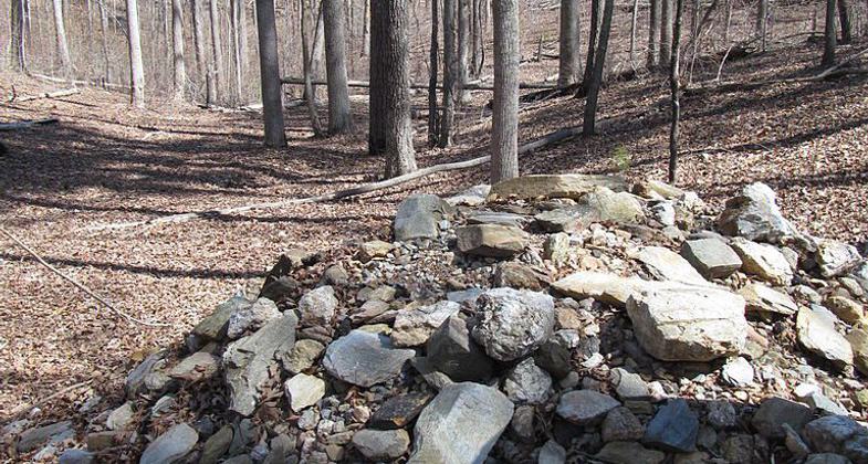
Kings Mountain National Military Park - South Carolina. Photo by Doug Kerr/wiki.

Kings Mountain National Military Park - South Carolina. Photo by Doug Kerr/wiki.

Kings Mountain National Military Park - South Carolina. Photo by Doug Kerr/wiki.

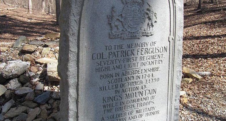
Col. Patrick Ferguson memorial. Photo by Doug Kerr/wiki.

Interpretive display at Kings Mountain National Military Park. Photo by Doug Kerr/wiki.

Kings Mountain National Military Park - South Carolina. Photo by Doug Kerr/wiki.
Location: Near Blacksburg at Kings Mountain State Park by campground shelter #3.
- States: South Carolina
The National Recreation Trail in Kings Mountain State Park is marked by a blue blaze throughout the 16-mile loop trail. Carolina Thread Trail segment is 1.6-mile that connects to the red blaze of the Ridgeline Trail that will take you north to Crowders Mountain or continue on west to the visitor's center at the Kings Mountain Military Park to learn the history of the Revolutionary War Battle site. There is a beautiful dam created by the Lake Crawford near the parking.
Accessibility Information
No text provided.
Allowed Uses:
Hiking/WalkingPublic Contact
King's Mountain Nat. Military ParkP.O. Box 40
Kings Mountain, SC 28086
Contact the trail manager for current maps and visiting details.
More Details
- Elevation (low): --
- Elevation (high): --
- Elevation (cumulative): --
- Part of a Trail System? No
- Surface (primary): --
- Surfaces (additional): --
- Tread Width (average): 48"
- Tread Width (minimum): --
- Running length (minimum): --
- Tread Grade (average, percent): --
- Tread Grade (maximum):
- Running length (maximum): --
- Cross-slope (average, percent): --
- Cross-slope (maximum): --
- Running length (maximum): --
- Certified as an NRT
Jun 7, 1981

