Knapp Creek-Loon Creek Trail
check with the trail manager for updated details before visiting.
Knapp Creek-Loon Creek Trail
USDA Forest Service
Backcountry Trail
- Length
19.5 miles
- Elevation Gain
--
- Route Type
out & back
(1 review)
- Length
19.5 miles - Elevation Gain
-- - Route Type
out & back
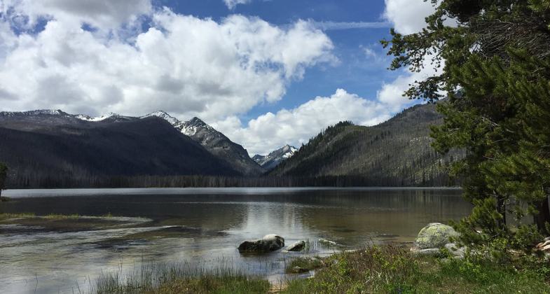
The Loon Creek Trail connects to Loon Lake. Photo by USDA Forest Service.

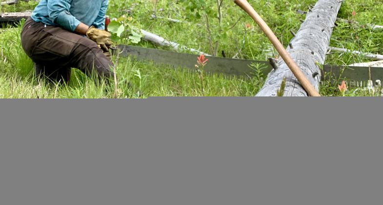
Rose shows off her crosscut saw after a long day of cutting. Photo by Pulaski Users Group.
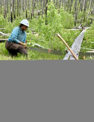
Intern Rose sits amongst the wildflowers clearing logs that have fallen. Photo by Pulaski Users Group.
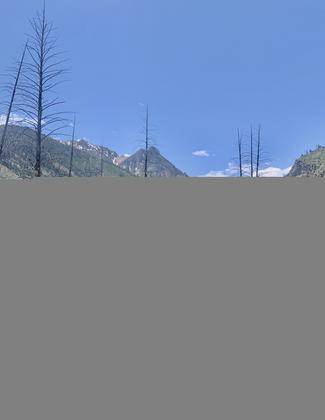
The Pulaski Users Group volunteer trail crew. Photo by Pulaski Users Group.
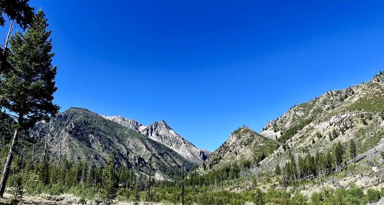
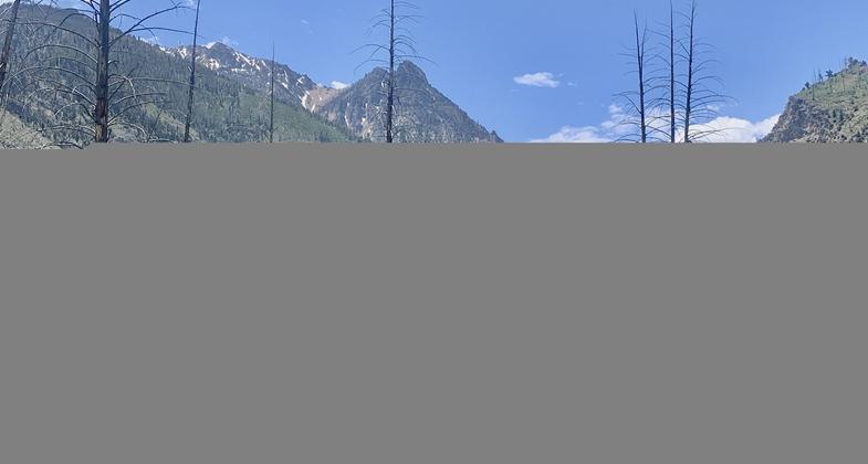
The Knapp-Loon Trail provides access to deep wilderness and high alpine lakes. Photo by Renee Shapiro.
Location: In Challis National Forest, northwest of Stanley off State Route 21.
- States: Idaho
- Counties: Custer
PLEASE NOTE: The Knapp-Loon Area was heavily burned in 2012 and trail conditions are variable in the area at this time. Only the non-Wilderness Knapp Creek portion of the trail is accessible for wheeled vehicles. After the Wilderness boundary, the trail drops into Loon Creek and wheeled vehicles, INCLUDING bicycles, are Not Allowed.
Accessibility Information
No text provided.
Reviews
Greg Travelstead
Remote wilderness hike and lakes through recovering burn area.
This trail provides access to deep wilderness and a couple dozen off-trail alpine lakes. Most of the area was burned in 2012 during a very hot fire. The bases of standing snags are now rotted sufficiently (in 2021) that hundreds of lodgepole, fir and spruce are falling across the trail each year. A volunteer stewardship group (Pulaski Users Group) is doing heavy trail maintenance each season to keep this important access artery open. Safe camping spots are scarce, in terms of falling tree hazards. There are four safe-ish camps along the 19.5 mile segment from Asher-Knapp Transfer Camp to Loon Creek Guard Station: 1. From Asher-Knapp, at 6.1 miles a pretty and shaded site along Knapp Creek, just past the trail fork, when the Knapp Creek trail becomes non-motorized single track; 2. At Horseshoe Lake - roughly midway from either trailhead. 3. From Loon Creek GS, at 2.2 miles, the confluence of Loon Creek and Pioneer Creek, and 4. From Loon Creek GS, at 5.2 miles, the confluence of Look Creek and no-name creek from the west. The trail location shown on USGS topo maps for the Loon Creek to Horseshoe Lake section is no longer correct. The trail has been re-aligned, and crosses Loon Creek three times before reaching the lake. The actual trail is clear when hiking, so don't be concerned if you're on the"wrong side" of Loon Creek per maps. The Fish Lake basin did not burn, and is splendidly beautiful and untrammeled. The spur trail from Loon Creek shown on some maps no longer exists. Fish Lake is easiest to reach from the Knapp Creek side, by contouring ESE from from the Knapp-Loon saddle, and entering the Fish Lake drainage by hiking north through the saddle between peaks 9146 and 8910.
Allowed Uses:
Bicycling Dogs, on leash EquestrianOther Activities
- Camping
- Fishing
Public Contact
Salmon-Challis National Forest1206 S. Challis St.
Salmon, ID 83467
(208) 756-5100
Contact the trail manager for current maps and visiting details.
More Details
- Elevation (low): 6714
- Elevation (high): 8911
- Elevation (cumulative): --
- Part of a Trail System? No
- Surface (primary): Soil
- Surfaces (additional): Soil
- Tread Width (average): 18"
- Tread Width (minimum): --
- Running length (minimum): --
- Tread Grade (average, percent): 6
- Tread Grade (maximum): 15
- Running length (maximum): --
- Cross-slope (average, percent): --
- Cross-slope (maximum): --
- Running length (maximum): --
- Certified as an NRT
Aug 16, 1979

