Lacy Point Nature Trail
check with the trail manager for updated details before visiting.
Lacy Point Nature Trail
U.S. Corps of Engineers
Backcountry Trail
- Length
18 miles
- Elevation Gain
--
- Route Type
Loop
- Length
18 miles - Elevation Gain
-- - Route Type
Loop
The Lacy Point Nature Trail is 19 miles of trail featuring interpretive trail markers, directional maps at junctions, and picnic table access entirely within government fee lands on the west shore of Waco lake, through Bottomland hardwoods, scrub, and grassland in central Texas. a multi-use trail within an 877-acre Access Area located at 1000 McLaughlin Rd., approximately two miles west of Waco dam.
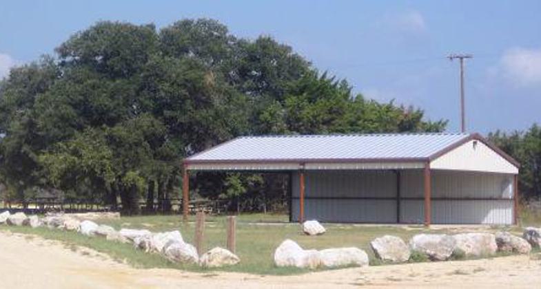
Reynold's Creek Equestrian Campground Pavilion.
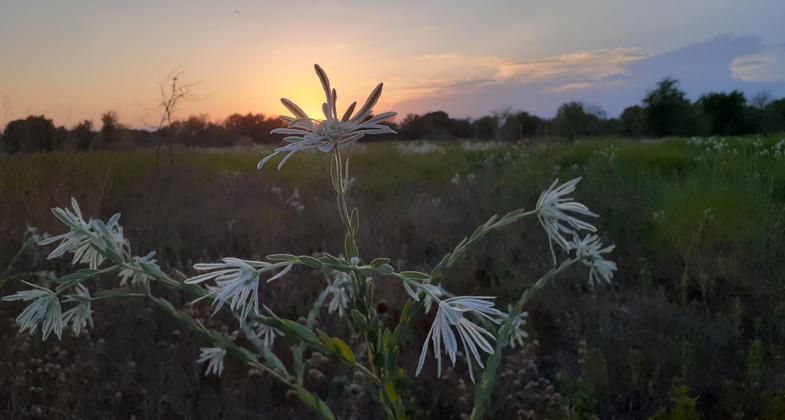
Lacy Point. Photo by Jasmin Hamilton.
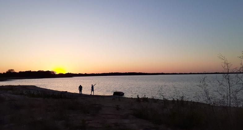
Lacy Point. Photo by Jasmin Hamilton.
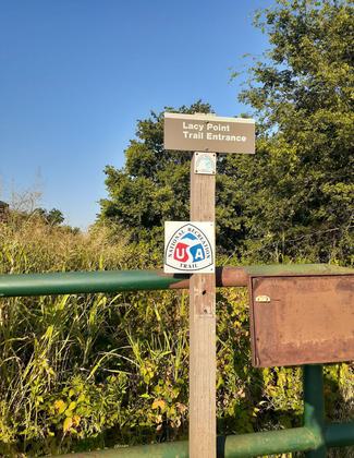
Lacy Point. Photo by Jasmin Hamilton.
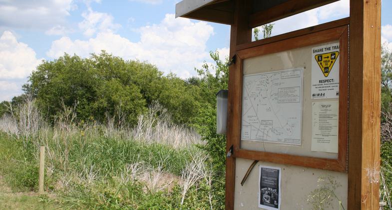
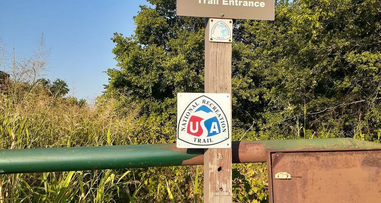
Trail entrance sign. Photo by Carl M. Smith.

Pair of Bald Eagles nesting. Photo by Carl M. Smith.

Banded Armadillo. Photo by E. Haskell.
Location: Lacy Point Access Area, Waco Lake, McLennan Co. TX, in Waco Texas, take Interstate 35 to State Route 6 northwest 7 miles to Speiglerville Road, one mile to park entrance.
- States: Texas
- Counties: McLennan
The Lacy Point Nature Trail is a multi-use trail within an 877-acre Access Area located at 1000 McLaughlin Rd. entirely within government fee lands on the west shore of Waco Lake, approximately two miles west of Waco Dam. The 19 miles of trail now feature interpretive trail markers, directional maps at junctions, and picnic table access along the shoreline, and through Bottomland hardwoods, scrub, and grassland in central Texas. This is the only public interpretive trail in the region to offer signed access to horse riders, cyclists, bank fishermen, and hikers between Fort Worth and Georgetown, TX on the busy I-35 corridor. Additionally, the trail's smooth terrain offers novice users an easier trail than steeper, narrower trails in the area including the Cameron Park Trail system added to the National Trails in 2009. Long-range plans call for expansion of the trail towards Reynolds Creek campground and the 1-mile interpretive trail within that park. Central Texas has a paucity of public land available for trails, and Lacy Point is situated within Waco city boundaries 10 miles from the diverse, growing urban city center.
Initially, a campground closed in 1991 due to low use, the 7.1 miles of deteriorating roads through mixed grassland scrub with some bottomland hardwood sections are now maintained as larger trails with wagon capability accessible by emergency fire and police vehicles, off of which single-track trails split. Signs encourage visitors to stay on the trails, designate the right of way, and other safe practices. Much of the additional 12 miles of trail has been created in the bottomland hardwood area (a greatly reduced ecosystem in Texas), featuring year-round springs, old-growth Eastern Red Cedar, and much-needed shade from the summer heat.
The trails are maintained through a partnership between the Corps of Engineers, the Waco Bicycle Club (IMBA affiliate), and the Texas Equestrian Trail Riders Association (TETRA). Interpretive signposts were put in for an Eagle Project, and two other local scout projects have contributed to expanding and enhancing the trail. More scout involvement is likely, but the majority of maintenance is done by TETRA and WBC volunteers at no cost. Corps personnel with Baylor University Ecology Department volunteers operate a Prescribed Burn program to maintain grassland diversity, reduce fire danger, and encourage growth towards a healthy Blackland Prairie, an ecosystem that is 99% destroyed nationally. Over 400 species of terrestrial and aquatic plants are found at Lacy Point, with 2 prairie wildflower peaks drawing visitors in April/May and September/October.
Accessibility Information
No text provided.
Allowed Uses:
Bicycling Dogs, on leash Equestrian Hiking/WalkingOther Activities
- Wildlife viewing / observation
Public Contact
Matthew DuttonUS Army Corps of Engineers
3801 Zoo Park Dr.
Waco, TX 76708
[email protected] • (254) 744-2921
Contact the trail manager for current maps and visiting details.
More Details
- Elevation (low): 462
- Elevation (high): 500
- Elevation (cumulative): --
- Part of a Trail System? No
- Surface (primary): Soil
- Surfaces (additional): Paved, Grass or Vegetation, Rock, crushed, Soil
- Tread Width (average): 36"
- Tread Width (minimum): --
- Running length (minimum): --
- Tread Grade (average, percent): --
- Tread Grade (maximum): 3
- Running length (maximum): --
- Cross-slope (average, percent): --
- Cross-slope (maximum): --
- Running length (maximum): --
- Certified as an NRT
May 2, 2010

