Lake Fork
This information is a public record of the 1979 NRT application and may be out of date if it has not been updated by a trail manager --
check with the trail manager for updated details before visiting.
check with the trail manager for updated details before visiting.
Lake Fork
USDA Forest Service
- Length
7.1 miles - Elevation Gain
-- - Route Type
out & back
Location: 10 mi. SW of South Fork on US 160 to Lake Fork. Trailhead NE of Lake Fork Creek.
- States: Colorado
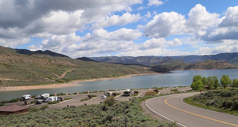
Lake Fork Trail follows Lake Fork Creek through a rocky canyon up into more flat terrain with open meadows and Engelmann spruce stands. The trail is generally gentle and well marked.
Accessibility Information
No text provided.
Allowed Uses:
Dogs, on leash Hiking/WalkingOther Activities
- Camping
- Fishing
Public Contact
Art MarcillaRio Grande National Forest
Divide Ranger District
Del Norte, CO 81132
amarcilla/r2_sjrg@fs.fed.us • (719) 57 -221
Contact the trail manager for current maps and visiting details.
More Details
- Elevation (low): --
- Elevation (high): --
- Elevation (cumulative): --
- Part of a Trail System? No
- Surface (primary): --
- Surfaces (additional): --
- Tread Width (average): 24"
- Tread Width (minimum): --
- Running length (minimum): --
- Tread Grade (average, percent): --
- Tread Grade (maximum):
- Running length (maximum): --
- Cross-slope (average, percent): --
- Cross-slope (maximum): --
- Running length (maximum): --
- Certified as an NRT
Nov 15, 1979