Lake Tahoe Bike and Pedestrian Way
This information is a public record of the 1976 NRT application and may be out of date if it has not been updated by a trail manager --
check with the trail manager for updated details before visiting.
check with the trail manager for updated details before visiting.
Lake Tahoe Bike and Pedestrian Way
City, Town, or County
Urban Trail
- Length
17 miles
- Elevation Gain
--
- Route Type
out & back
- Length
17 miles - Elevation Gain
-- - Route Type
out & back
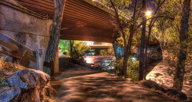
This path follows the West Shore of Lake Tahoe along Hwy 89 from Tahoe City to Sugar Pine State Park.
Location: Along SR 89 and along N and W shoreline of Lake Tahoe on SR 28 in and around Tahoe City.
- States: California
- Counties: Placer
The path is approximately 12 miles in length and can be a bit difficult at times as it gains and falls in elevation, detours through residential neighborhoods, and crosses Hwy 89 several times. There are plenty of places to stop for a swim or a bite to eat along the path, but there is a small section in Homewood where the path is not finished so riders have to share the highway on a small shoulder.
Accessibility Information
No text provided.
Allowed Uses:
Bicycling Hiking/WalkingPublic Contact
Layne Van NoyTahoe City Dept. of Parks
P.O. Box 33
Tahoe City, CA 96145
[email protected] • (530) 583-3796 ext. 25
Contact the trail manager for current maps and visiting details.
More Details
- Elevation (low): --
- Elevation (high): --
- Elevation (cumulative): --
- Part of a Trail System? No
- Surface (primary): Paved
- Surfaces (additional): Paved
- Tread Width (average): 72"
- Tread Width (minimum): --
- Running length (minimum): --
- Tread Grade (average, percent): --
- Tread Grade (maximum):
- Running length (maximum): --
- Cross-slope (average, percent): --
- Cross-slope (maximum): --
- Running length (maximum): --
- Certified as an NRT
Feb 22, 1976


