Lakeshore - Utah
This information is a public record of the 1979 NRT application and may be out of date if it has not been updated by a trail manager --
check with the trail manager for updated details before visiting.
check with the trail manager for updated details before visiting.
Lakeshore - Utah
USDA Forest Service
Backcountry Trail
- Length
14 miles
- Elevation Gain
--
- Route Type
out & back
- Length
14 miles - Elevation Gain
-- - Route Type
out & back
Widgeon Bay on Fishlake. Photo by Scenic25 wiki.
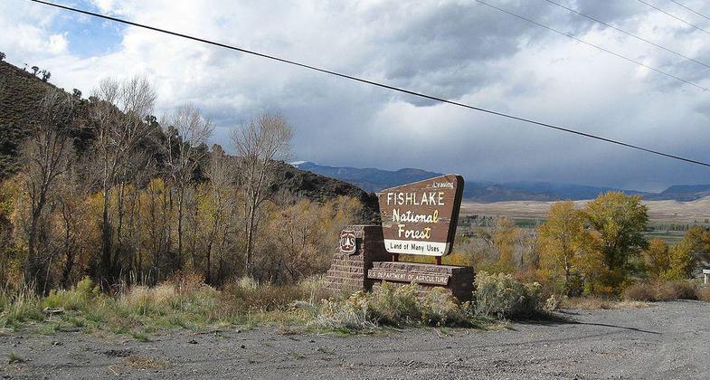
Fishlake National Forest Entrance. Photo by The Dye Clan wiki.

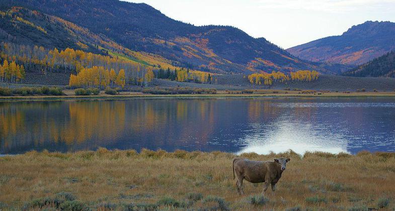
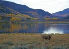
Fish Lake as seen from Pelican Promontory. Photo by Sdej wiki.
Location: Fishlake National Forest, In Fishlake National Forest, along W side of Fish Lake, near Kooshorem.
- States: Utah
- Counties: Sevier
The Lakeshore National Recreation Trail, comprised of four distinct sections, offers a variety of experiences for visitors to the Fish Lake Basin on the Fishlake National Forest. Visitors may wish to experience a portion of the trail or its entirety. Summer and fall are the best time to visit, with fall being a popular time to take in the autumn beauty of the Fish Lake Basin. Mid-September to early October are the best times for the fall colors.
Accessibility Information
No text provided.
Allowed Uses:
Bicycling Dogs, on leash Equestrian Hiking/WalkingOther Activities
- Camping
- Fishing
Public Contact
Fishlake National Forest138 S. Main
Lake, UT 84747
[email protected] • (435) 836-2811
Contact the trail manager for current maps and visiting details.
More Details
- Elevation (low): 8843
- Elevation (high): 9810
- Elevation (cumulative): --
- Part of a Trail System? No
- Surface (primary): Soil
- Surfaces (additional): Soil
- Tread Width (average): 18"
- Tread Width (minimum): --
- Running length (minimum): --
- Tread Grade (average, percent): 10
- Tread Grade (maximum): 20
- Running length (maximum): --
- Cross-slope (average, percent): --
- Cross-slope (maximum): --
- Running length (maximum): --
- Certified as an NRT
Oct 4, 1979