Lansing River Trail
This information is a public record of the 1981 NRT application and may be out of date if it has not been updated by a trail manager --
check with the trail manager for updated details before visiting.
check with the trail manager for updated details before visiting.
Lansing River Trail
City, Town, or County
Frontcountry Trail
Rail Trail
Urban Trail
- Length
13 miles
- Elevation Gain
--
- Route Type
out & back
- Length
13 miles - Elevation Gain
-- - Route Type
out & back
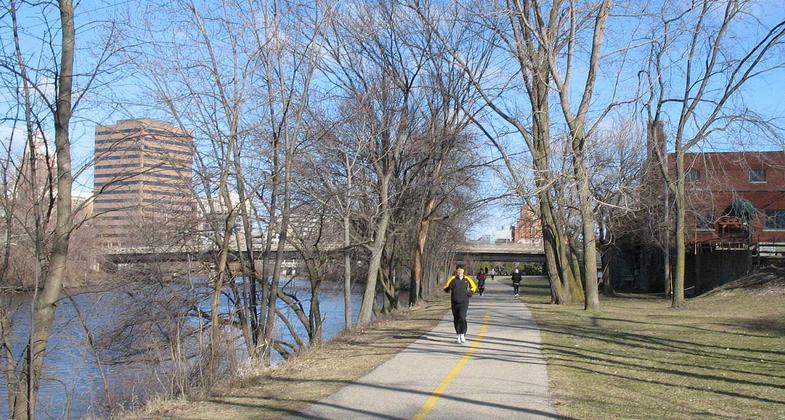
Runner on Lansing River Trail. Photo by Selahi Durusoy/wiki.

Lansing City Market along Grand River, downtown Lansing, Michigan. Photo by Dj1997/wiki.

A pedestrian bridge of the Lansing River Trail at Riverpoint Park. Photo by Criticalthinker/wiki.

Lansing River Trail just south of the Kalamazoo Street Bridge in downtown Lansing. Photo by Criticalthinker/wiki.

Location: Lansing River
- States: Michigan
13 mile urban Lansing River Trail is designed for a wide variety of uses, and traces the banks of the Grand and Red Cedar Rivers
Accessibility Information
No text provided.
Allowed Uses:
Bicycling Hiking/WalkingPublic Contact
R. Eric ReikelCity of Lansing
Dept. of Parks and Recreation
Lansing, MI 48933
(517) 483-4277
Contact the trail manager for current maps and visiting details.
More Details
- Elevation (low): --
- Elevation (high): --
- Elevation (cumulative): --
- Part of a Trail System? No
- Surface (primary): --
- Surfaces (additional): --
- Tread Width (average): 120"
- Tread Width (minimum): --
- Running length (minimum): --
- Tread Grade (average, percent): --
- Tread Grade (maximum):
- Running length (maximum): --
- Cross-slope (average, percent): --
- Cross-slope (maximum): --
- Running length (maximum): --
- Certified as an NRT
Nov 18, 1981