Laurel Hill Cemetery Victorian Trail
This information is a public record of the 1990 NRT application and may be out of date if it has not been updated by a trail manager --
check with the trail manager for updated details before visiting.
check with the trail manager for updated details before visiting.
Laurel Hill Cemetery Victorian Trail
Private
Backcountry Trail
- Length
25 miles
- Elevation Gain
--
- Route Type
out & back
- Length
25 miles - Elevation Gain
-- - Route Type
out & back

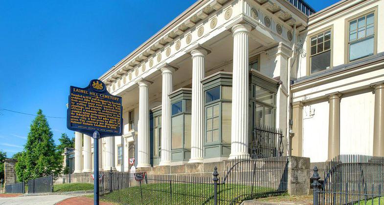
Laurel Hill Cemetery Gatehouse. Photo by Bestbudbrian.

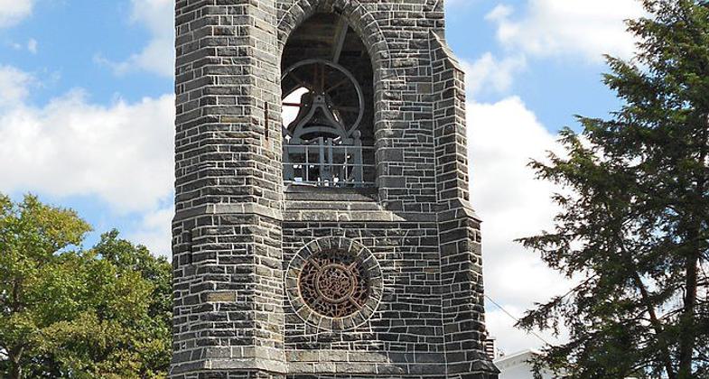
Tower West Laurel Hill Cemetery. Photo by Smallbones wiki.

Laurel Hill Cemetery. Photo by Nevin Mann wiki.
Location:
- States: Pennsylvania
Laurel Hill is a unique destination for connoisseurs of art, architecture and horticulture, and the final resting place of countless individuals who shaped the history of our city and nation. Nestled on a scenic bluff high above the Schuylkill River, the site also affords spectacular views that cannot be found elsewhere.
Accessibility Information
No text provided.
Allowed Uses:
Hiking/WalkingPublic Contact
Laurel Hill Cemetery Company3822 Ridge Ave.
Philadelphia, PA 19132
Contact the trail manager for current maps and visiting details.
More Details
- Elevation (low): --
- Elevation (high): --
- Elevation (cumulative): --
- Part of a Trail System? No
- Surface (primary): --
- Surfaces (additional): --
- Tread Width (average): 0"
- Tread Width (minimum): --
- Running length (minimum): --
- Tread Grade (average, percent): --
- Tread Grade (maximum):
- Running length (maximum): --
- Cross-slope (average, percent): --
- Cross-slope (maximum): --
- Running length (maximum): --
- Certified as an NRT
Apr 1, 1990


