Lehigh Canal Heritage Trail
check with the trail manager for updated details before visiting.
Lehigh Canal Heritage Trail
- Length
6 miles - Elevation Gain
-- - Route Type
out & back

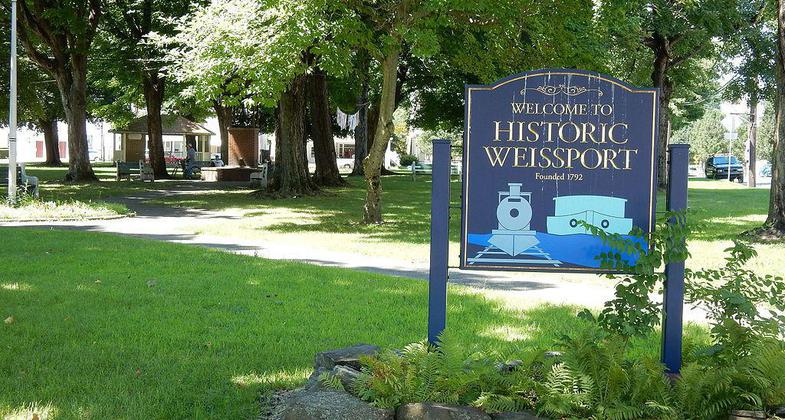

Location: Rural, Weissport.
- States: Pennsylvania
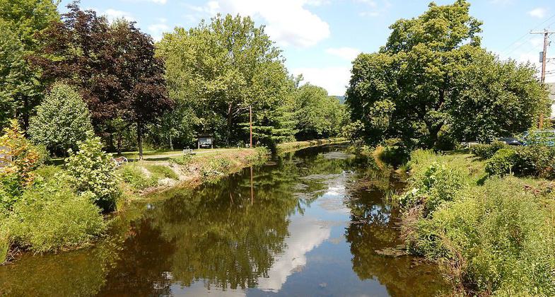
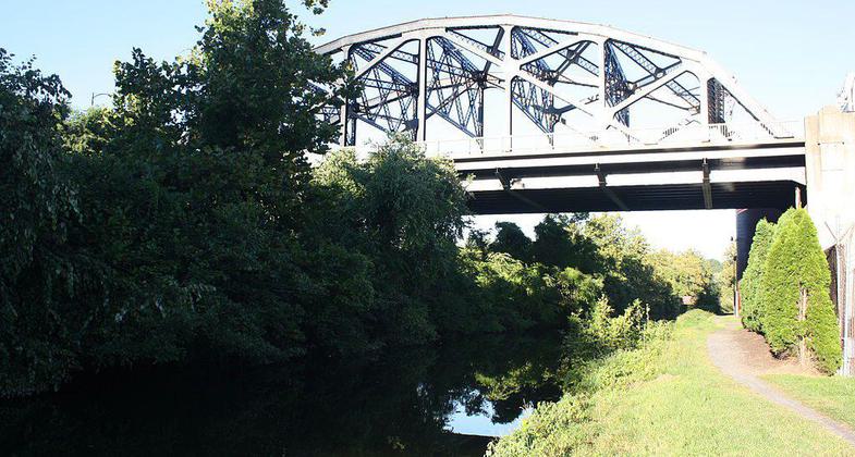
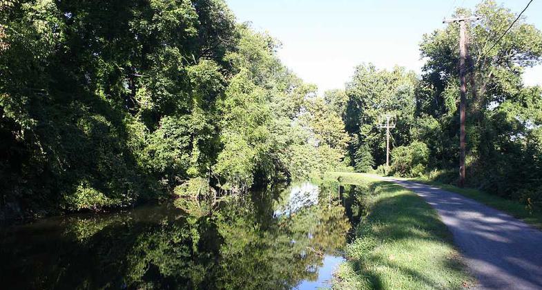
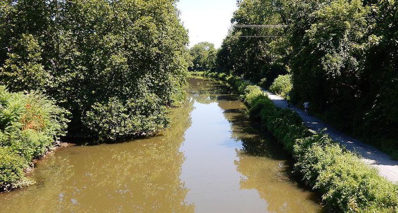
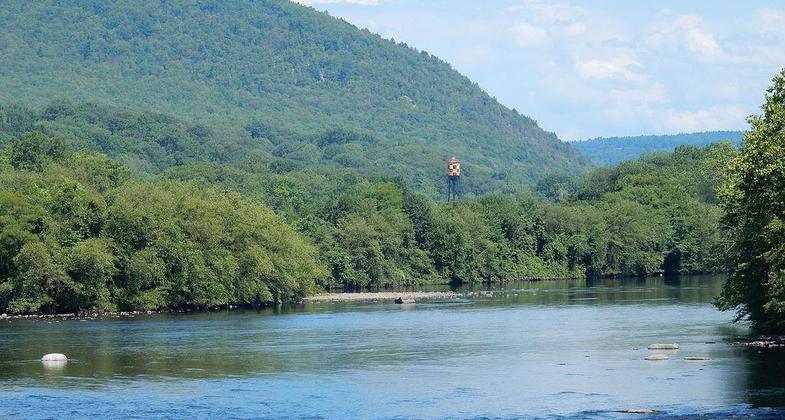
Under development is a 160-mile-long trail that will intersect with the Appalachian Trail and over twenty others. Currently, you can hike between Catasauqua and Bristol, Pennsylvania on a restored towpath following the Lehigh Navigation System and the Delaware Division of the Pennsylvania Canal System. The trail follows the Lehigh and Delaware Rivers, passing through bucolic countryside and teeming municipalities. The towpath is continuous for approximately 13 miles from Allentown to Easton, paralleling the historic Lehigh Canal. Most of the canal is watered, while the remaining sections have become natural areas filled with wildlife and native plant communities. Fallen industries along the Lehigh River can be viewed from the trail, and the river islands serve as oases for the osprey, great blue heron, and other watershed birds and wildlife.
Accessibility Information
No text provided.
Allowed Uses:
Bicycling Dogs, on leash Equestrian Hiking/WalkingOther Activities
- Camping
- Fishing
Public Contact
Christina van GelderLehigh Canal Recreation Commission
P.O. Box 29
Lehighton, PA 18235
wim@ptdprolog.net • (610) 377-3856
Contact the trail manager for current maps and visiting details.
More Details
- Elevation (low): --
- Elevation (high): --
- Elevation (cumulative): --
- Part of a Trail System? No
- Surface (primary): --
- Surfaces (additional): --
- Tread Width (average): 127"
- Tread Width (minimum): --
- Running length (minimum): --
- Tread Grade (average, percent): --
- Tread Grade (maximum):
- Running length (maximum): --
- Cross-slope (average, percent): --
- Cross-slope (maximum): --
- Running length (maximum): --
- Certified as an NRT
Jun 25, 1979