Little Hole
This information is a public record of the 1979 NRT application and may be out of date if it has not been updated by a trail manager --
check with the trail manager for updated details before visiting.
check with the trail manager for updated details before visiting.
Little Hole
USDA Forest Service
Backcountry Trail
- Length
7.3 miles
- Elevation Gain
--
- Route Type
out & back
- Length
7.3 miles - Elevation Gain
-- - Route Type
out & back

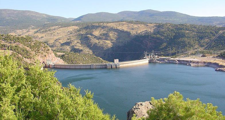
Flaming Gorge Dam top view. Photo by Frans-Banja Mulder wiki.

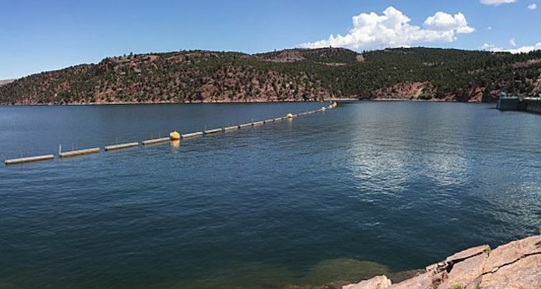
Flamig Gorge Dam from visitor center. Photo by Fredlyfish4 wiki.

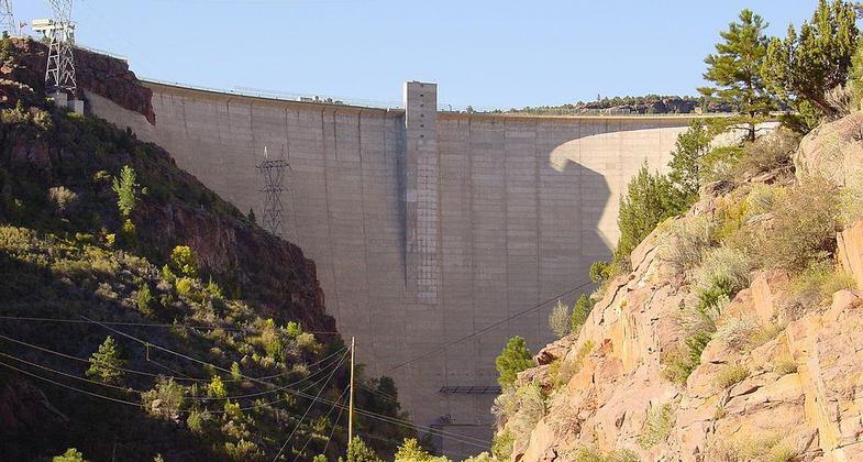
Flaming Gorge Dam Bottom View. Photo by Frans-Banja Mulder wiki.
Location: At Flaming Gorge National Recreation Area along Green River on US 191, 45 mi. north of Vernal.
- States: Utah
Little Hole Trail is a fantastic trail that runs along the banks of the Green River from the Flaming Gorge Dam to Little Hole. The entire length is seven miles, but it can be hiked out and back as far as you prefer. The trail is easy to follow with very little elevation gain. Starting from the impressive Flaming Gorge Dam you can make your way down this beautiful canyon. You will see people pass in boats either fishing or rafting; anglers should remember to pack a rod.
Accessibility Information
No text provided.
Allowed Uses:
Hiking/WalkingPublic Contact
Ashley National Forest355 North Vernal Ave.
Vernal, UT 84078
Contact the trail manager for current maps and visiting details.
More Details
- Elevation (low): --
- Elevation (high): --
- Elevation (cumulative): --
- Part of a Trail System? No
- Surface (primary): --
- Surfaces (additional): --
- Tread Width (average): 0"
- Tread Width (minimum): --
- Running length (minimum): --
- Tread Grade (average, percent): --
- Tread Grade (maximum):
- Running length (maximum): --
- Cross-slope (average, percent): --
- Cross-slope (maximum): --
- Running length (maximum): --
- Certified as an NRT
Jun 28, 1979

