Little Stony Creek
check with the trail manager for updated details before visiting.
Little Stony Creek
USDA Forest Service
Backcountry Trail
- Length
2.8 miles
- Elevation Gain
--
- Route Type
out & back
- Length
2.8 miles - Elevation Gain
-- - Route Type
out & back
Little Stony National Recreation Trail follows Little Stony Creek through a 400-foot deep and 1700-foot wide gorge along an old narrow-gauge railroad bed.***PORTIONS OF THE TRAIL ARE CURRENTLY CLOSED DUE TO A LANDSLIDE.REPAIRS ARE BEING PLANNED.PLEASE CHECK WITH THE CLINCH RANGER DISTRICT FOR UPDATES

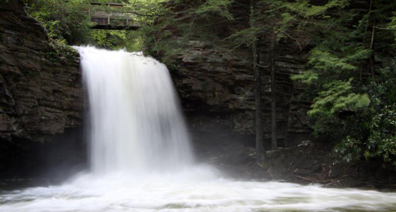
Little Stony Falls.

Twin Boletes. Photo by Marty Silver.

Yellow Slug Moth caterpillar. Photo by Marty Silver.

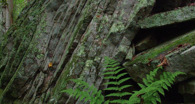
Fern amidst rock layers. Photo by Marty Silver.

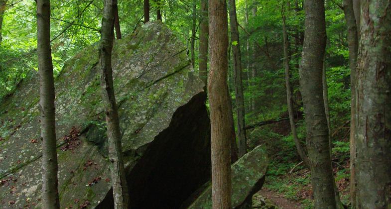
Rock scenery. Photo by Marty Silver.
Location: 2.6 miles north of Dungannon, VA. on Rt 72.
- States: Virginia
- Counties: Scott
Little Stony National Recreation Trail follows Little Stony Creek through a 400-foot deep and 1700-foot wide gorge along an old narrow-gauge railroad bed. Large rock outcrops, ledges, and boulders form the scenic edges along Little Stony Creek. In some areas of the trail, hikers will need to climb over and around boulders and large rocks to remain on the trail.
Accessibility Information
No text provided.
Allowed Uses:
Dogs, on leash Hiking/WalkingOther Activities
- Camping
- Fishing
Public Contact
Brandon OlingerUSDA Forest Service
1700 Park Ave SW
Norton, VA 24273
(276) 679-8370
Contact the trail manager for current maps and visiting details.
More Details
- Elevation (low): 1500
- Elevation (high): 2250
- Elevation (cumulative): --
- Part of a Trail System? No
- Surface (primary): Soil
- Surfaces (additional): Soil
- Tread Width (average): 24"
- Tread Width (minimum): --
- Running length (minimum): --
- Tread Grade (average, percent): 5
- Tread Grade (maximum):
- Running length (maximum): --
- Cross-slope (average, percent): --
- Cross-slope (maximum): --
- Running length (maximum): --
- Certified as an NRT
Feb 5, 1987


