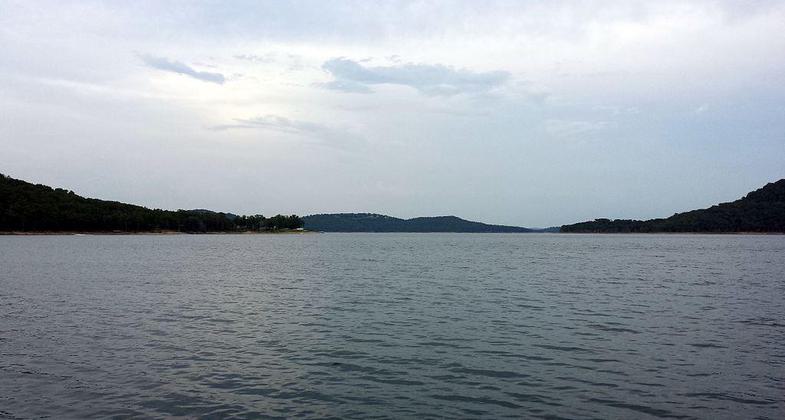
Lost Bridge Hiking Trail
This information is a public record of the 1981 NRT application and may be out of date if it has not been updated by a trail manager --
check with the trail manager for updated details before visiting.
check with the trail manager for updated details before visiting.
Lost Bridge Hiking Trail
U.S. Corps of Engineers
Backcountry Trail
- Length
0.5 miles
- Elevation Gain
--
- Route Type
out & back
- Length
0.5 miles - Elevation Gain
-- - Route Type
out & back
Location: 5 mi. SE of Garfield on SR 127. To get to the trail, take Hwy 62 east out of Rogers to Garfield and turn south on Hwy 127. Travel 7 miles to the park(veer left on Hwy 127 S to the North Park). The trailhead is is on the right as you head towards the marin
- States: Arkansas
Along the trail there is an abundance of scenic attractions - bluff outcroppings, sandstone and limestone. Interpretative displays that explain ecology and historic lifestyles.
Accessibility Information
No text provided.
Allowed Uses:
Hiking/WalkingPublic Contact
Dianne BatsonUS Army Corps of Engineers
Beaver Lake
Rogers, AR 72756
(501) 636-1210
Contact the trail manager for current maps and visiting details.
More Details
- Elevation (low): --
- Elevation (high): --
- Elevation (cumulative): --
- Part of a Trail System? No
- Surface (primary): Soil
- Surfaces (additional): --
- Tread Width (average): 36"
- Tread Width (minimum): --
- Running length (minimum): --
- Tread Grade (average, percent): --
- Tread Grade (maximum):
- Running length (maximum): --
- Cross-slope (average, percent): --
- Cross-slope (maximum): --
- Running length (maximum): --
- Certified as an NRT
Nov 18, 1981


