Mackenzie Touring
This information is a public record of the 1978 NRT application and may be out of date if it has not been updated by a trail manager --
check with the trail manager for updated details before visiting.
check with the trail manager for updated details before visiting.
Mackenzie Touring
USDA Forest Service
Backcountry Trail
- Length
8.3 miles
- Elevation Gain
--
- Route Type
out & back
- Length
8.3 miles - Elevation Gain
-- - Route Type
out & back
Location: Access at Caberfae Ski Area west of Cadillac.
- States: Michigan
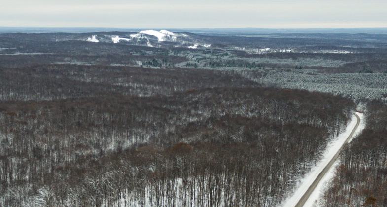
The trail is 10.1 miles with loop combinations of varying lengths available. The trail is marked with blue diamond-shaped blazes. There are signs at each junction with a You Are Here map. The McKenzie trail system is located just northwest of the Caberfae ski area. Loops range from beginner to most difficult. Some trails are groomed in the winter.
Accessibility Information
No text provided.
Allowed Uses:
Bicycling Snow, cross-country skiingOther Activities
- Snow, snow play general
Public Contact
Huron-Manistee National Forests1755 South Mitchell St.
Cadillac, MI 49601
(213) 775-2421
www.fs.usda.gov/main/hmnf/home
Contact the trail manager for current maps and visiting details.
More Details
- Elevation (low): --
- Elevation (high): --
- Elevation (cumulative): --
- Part of a Trail System? No
- Surface (primary): --
- Surfaces (additional): --
- Tread Width (average): 0"
- Tread Width (minimum): --
- Running length (minimum): --
- Tread Grade (average, percent): --
- Tread Grade (maximum):
- Running length (maximum): --
- Cross-slope (average, percent): --
- Cross-slope (maximum): --
- Running length (maximum): --
- Certified as an NRT
Dec 7, 1978


