Mason-Dixon Trail
check with the trail manager for updated details before visiting.
Mason-Dixon Trail
- Length
30 miles - Elevation Gain
-- - Route Type
out & back
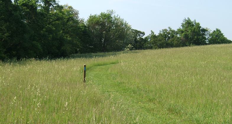
The 30-mile section of the Mason-Dixon Trail designated as National Recreation Trail is a hiking trail that follows the lower Susquehanna River Gorge from Wrightsville to the Norman Wood bridge.
Location: York County Pa, along the Susquehanna River from Wrightsville to Norman Wood Bridge, Follows west shore of Susquehanna River from Wrightsville to State Route 372 bridge.
- States: Pennsylvania
- Counties: York
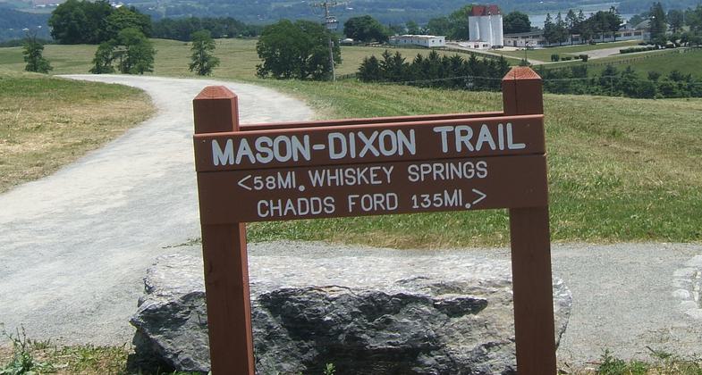
The Mason-Dixon Trail was originally built in the early 1980s. It is 193 miles long and is in three states, Pennsylvania, Maryland, and Delaware. One end connects to the Appalachian Trail. The other end connects to the Brandywine Trail. The Conestoga Trail comes across the Norman Wood Bridge to connect to the Mason-Dixon Trail. Work has continued since the 1980s to move the trail off of the roads and to improve the tread way.
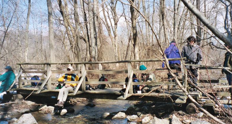
The trail has been built and is maintained entirely by volunteers. Last year, 829 hours were performed in Pennsylvania maintaining the trail and building relocations.
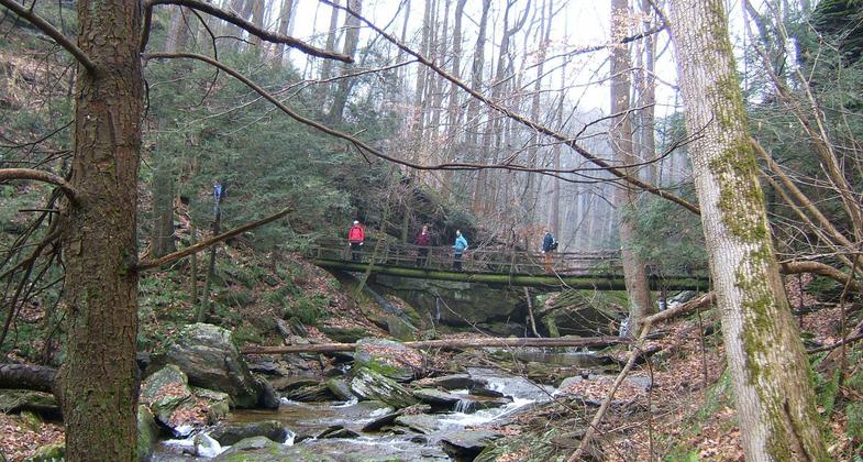
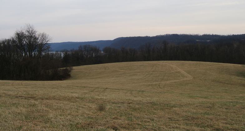
The section of the Mason-Dixon Trail in this application follows the Susquehanna River Gorge with beautiful views and deep ravines with waterfalls. The section being recommended as a National Recreation Trail starts at Lockwood Rd south of Wrightsville and ends at the Lock 12 parking lot next to the Norman Wood Bridge (PA Rt. 372).
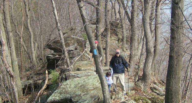
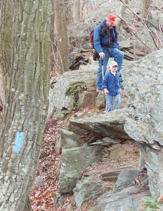
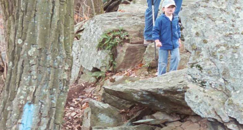
The trail is a built hiking trail with major (>500 ft) climbs and descents. There are spots on the trail that remind one of the National Parks. In addition, there are multiple bald eagle nests visible from the trail. It is asked that people stay on the trail and not disturb the eagles when they are sitting on the nests.
Map sets are sold by the Mason-Dixon Trail System and different retail stores.
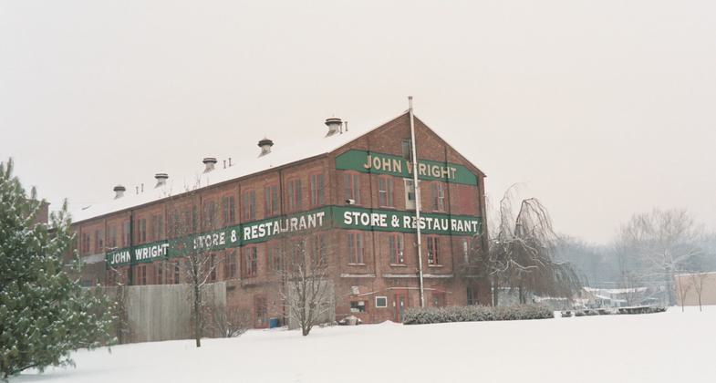
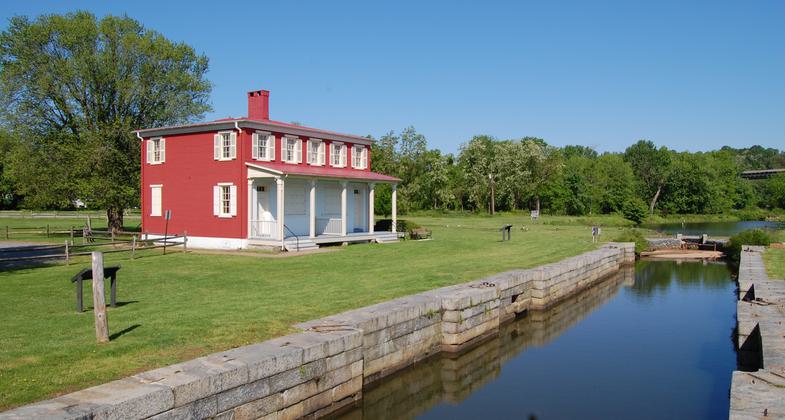
Historic sites include parts of the canal that went from the Chesapeake Bay to Wrightsville. The archeological sites of two Native American Villages are on the route. Also, the remains of the locks and hotels along the canal are visible. A National Recreation Water Trail also follows this section of the river.
Accessibility Information
No text provided.
Allowed Uses:
Hiking/WalkingOther Activities
- Camping
- Wildlife viewing / observation
Public Contact
Mason-Dixon Trail System, Inc309 Bank Hill Rd.
Wrightsville, PA 17368
j.e.hooper@ieee.org • (717) 252-3784
www.masondixontrail.org
Contact the trail manager for current maps and visiting details.
More Details
- Elevation (low): 180
- Elevation (high): 720
- Elevation (cumulative): --
- Part of a Trail System? No
- Surface (primary): Soil
- Surfaces (additional): Grass or Vegetation
- Tread Width (average): 24"
- Tread Width (minimum): --
- Running length (minimum): --
- Tread Grade (average, percent): --
- Tread Grade (maximum): 30
- Running length (maximum): --
- Cross-slope (average, percent): --
- Cross-slope (maximum): --
- Running length (maximum): --
- Certified as an NRT
May 2, 2010

