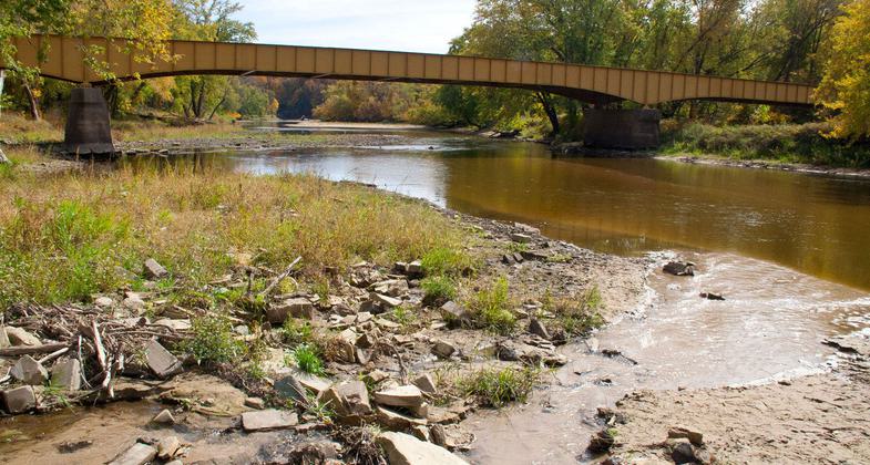
Matsell Bridge
This information is a public record of the 1981 NRT application and may be out of date if it has not been updated by a trail manager --
check with the trail manager for updated details before visiting.
check with the trail manager for updated details before visiting.
Matsell Bridge
City, Town, or County
Frontcountry Trail
- Length
8.4 miles
- Elevation Gain
--
- Route Type
out & back
- Length
8.4 miles - Elevation Gain
-- - Route Type
out & back
Rich in history, the Matsell Bridge Natural Area is the largest Linn County area at 1887 acres.
Location: NE of Cedar Rapids . 3 mi. N of Viola.
- States: Iowa
- Counties: Linn
Rich in history, the Matsell Bridge Natural Area is the largest Linn County area at 1887 acres. Diverse in terrain and habitat, Matsell Bridge is home to many species of native Iowa wildlife and plants. The area contains numerous one-of-a-kind facilities within the Linn County Park system: shooting ranges, primitive year-round cabin, equestrian camping, and unique historical features.
Accessibility Information
No text provided.
Allowed Uses:
Bicycling Hiking/WalkingPublic Contact
Linn County Conservation BoardRural Rt.3
Marion, IA 52302
Contact the trail manager for current maps and visiting details.
More Details
- Elevation (low): --
- Elevation (high): --
- Elevation (cumulative): --
- Part of a Trail System? No
- Surface (primary): --
- Surfaces (additional): --
- Tread Width (average): 0"
- Tread Width (minimum): --
- Running length (minimum): --
- Tread Grade (average, percent): --
- Tread Grade (maximum):
- Running length (maximum): --
- Cross-slope (average, percent): --
- Cross-slope (maximum): --
- Running length (maximum): --
- Certified as an NRT
Oct 31, 1981


