May Creek Trail
check with the trail manager for updated details before visiting.
May Creek Trail
USDA Forest Service
Backcountry Trail
- Length
7 miles
- Elevation Gain
--
- Route Type
out & back
- Length
7 miles - Elevation Gain
-- - Route Type
out & back
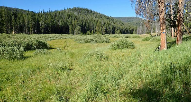
May Creek Trail parallels meandering May Creek along the edge of lush creek banks and over wildflower filled meadows to May Creek Cabin.
Junction of the short trail to May Creek Cabin and May Creek Trail. Photo by David Lingle.

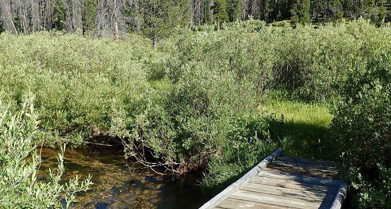
May Creek Trail passes near meandering May Creek. Photo by David Lingle.

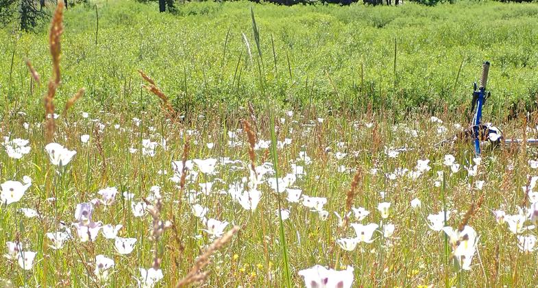
Sego Lilies at meadows edge. May Creek Cabin is nestled in the woods beyond. Photo by David Lingle.

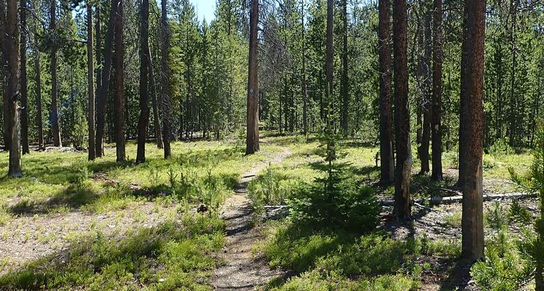
Lower May Creek Trail passes through small groves of pine forest between open meadows and willow lined creek bottom. Photo by David Lingle.

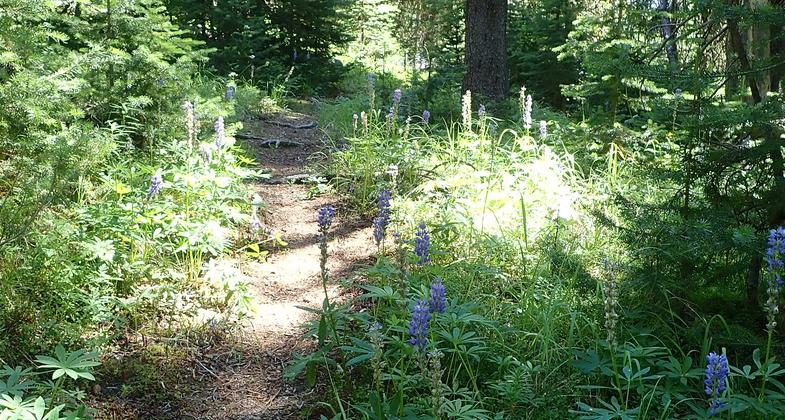
Upper May Creek Trail as it runs through the woods before dropping down to the lush creek bottom. Photo by David Lingle.

The upper end of the May Creek Trail as it becomes singletrack. Photo by David Lingle.

This sign marks the upper end of the May Creek Trail. The upper 1/4mile of trail is 2track. Photo by David Lingle.

The Cabinet Creek Trail junction. It is 4 miles from here to the May Creek Cabin, and 6 miles to the Campground. Photo by David Lingle.

May Creek Cabin is a popular place to visit in winter. The woodshed is kept stocked with firewood. Photo by David Lingle.

The bridge over May Creek accessing May Creek Cabin. Photo by David Lingle.
Location: 17 miles west of Wisdom, MT on MT Hwy 43 and 7 miles west of Big Hole National Battlefield; 8 miles east of Chief Joseph Pass on MT Hwy 43. In the northern end of the West Big Hole Mountains.
- States: Montana
- Counties: Beaverhead
May Creek Trail parallels meandering May Creek along the edge of lush creek banks and over wildflower-filled meadows to May Creek Cabin. The trail is most frequently used as an out-and-back to access May Creek Cabin in both Summer and Winter. It can also be used to create a loop with trails in the area after it climbs from the creek to meet the Continental Divide Trail (CDT).
May Creek Trail begins in May Creek Campground at the gate near campsite #14 and is 2 miles to the Cabin. Another 2.5 miles beyond the cabin, the trail leaves the gentle creek bottom and climbs to follow a wooded ridge to its junction with the Anderson Mountain Road and the CDT.
Accessibility Information
No text provided.
Allowed Uses:
Bicycling Equestrian Hiking/Walking Motorized vehicles, – four-wheel drive Snow, cross-country skiing Snow, snowshoeingOther Activities
- Snow, snow play general
Public Contact
Gil GaleBeaverhead-Deerlodge National Forest
P.O. Box 238
Wisdom, MT 59761
[email protected] • (406) 689-3243
www.fs.fed.us/r1/b-d+
Contact the trail manager for current maps and visiting details.
More Details
- Elevation (low): 5772
- Elevation (high): 7694
- Elevation (cumulative): --
- Part of a Trail System? No
- Surface (primary): Soil
- Surfaces (additional): Soil
- Tread Width (average): 18"
- Tread Width (minimum): --
- Running length (minimum): --
- Tread Grade (average, percent): 12
- Tread Grade (maximum): 35
- Running length (maximum): --
- Cross-slope (average, percent): --
- Cross-slope (maximum): --
- Running length (maximum): --
- Certified as an NRT
Dec 15, 1980

