McKenzie River Trail
check with the trail manager for updated details before visiting.
McKenzie River Trail
USDA Forest Service
Backcountry Trail
- Length
25.9 miles
- Elevation Gain
--
- Route Type
out & back
(1 review)
- Length
25.9 miles - Elevation Gain
-- - Route Type
out & back
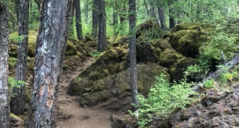
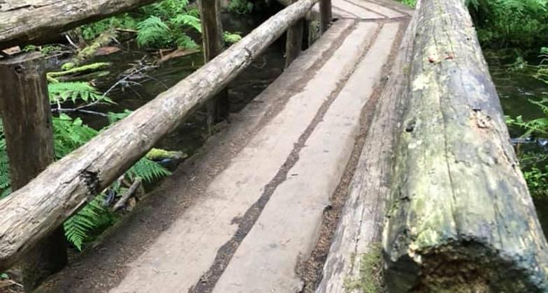
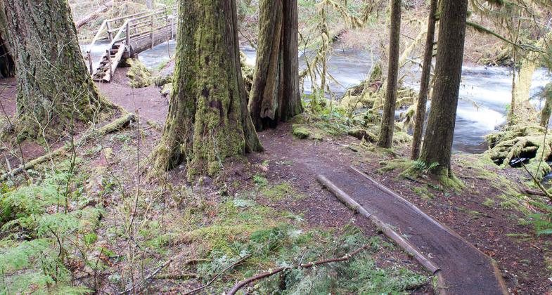
Beginning at the Upper McKenzie River Trailhead, McKenzie River National Recreation Trail #3507 starts in an old lava flow, originating from Mt. Washington, and crosses a bridge over the McKenzie River.
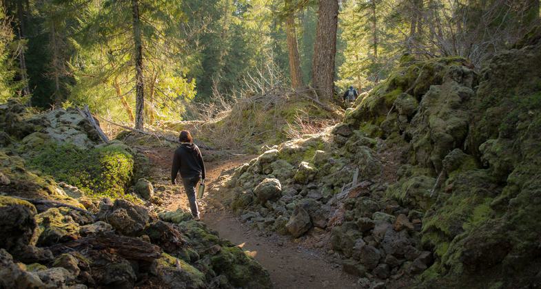
Lava fields along the trail.

Moss covered rocks on trail. Photo by Gabrielle Webster.

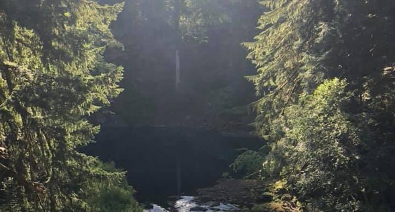
Tamolich Falls. Photo by Gabrielle Webster.

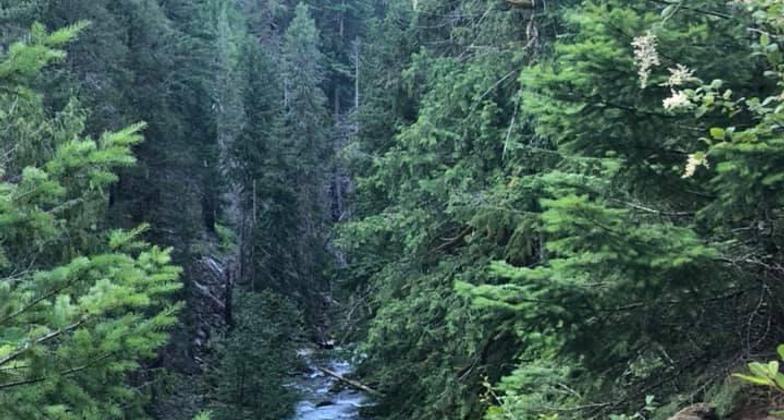
View above river. Photo by Gabrielle Webster.

I can see so much more from here!. Photo by Gabrielle Webster.

Wood bridge on trail. Photo by Gabrielle Webster.

McKenzie River Trail No. 3507 signage. Photo by Gabrielle Webster.


Location: follows upper McKenzie River along SR 126
- States: Oregon
- Counties: Lane, Linn
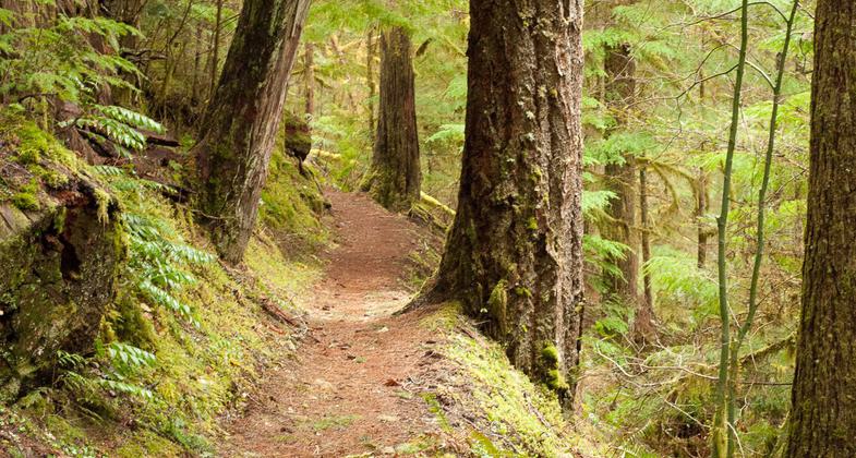
The McKenzie River Trail provides an array of recreational opportunities including camping, fishing, photography, exploring, and wildlife viewing. The trail meanders along the upper McKenzie River for nearly 27 miles and ends near the river's headwaters at Clear Lake. The trail climbs from 1,450 feet to nearly 3,200 feet. There are 11 parking areas scattered along Highway 126 which provide access to the trail. The proximity of the trail to the highway and various crossroads makes it possible to plan outings that range from short walks to treks lasting several days.
Accessibility Information
No text provided.
Reviews
One of the nation's best!
The MRT travels over 20 miles in lush Oregon forest beside one of the most beautiful river's I've ever seen. It passes through lava fields (hot in summer!), clear lake, two iconic waterfalls and miles of solitude.
Allowed Uses:
Bicycling Dogs, on leash Hiking/WalkingOther Activities
- Camping
Public Contact
Tyson CrossWillamette National Forest
57600 McKenzie Hwy
McKenzie Bridge, OR 97413
[email protected] • (541) 822-3381
www.fs.fed.us/r6/willamette
Contact the trail manager for current maps and visiting details.
More Details
- Elevation (low): 1450
- Elevation (high): 3200
- Elevation (cumulative): --
- Part of a Trail System? No
- Surface (primary): Soil
- Surfaces (additional): Soil
- Tread Width (average): 24"
- Tread Width (minimum): --
- Running length (minimum): --
- Tread Grade (average, percent): 5
- Tread Grade (maximum): 14
- Running length (maximum): --
- Cross-slope (average, percent): --
- Cross-slope (maximum): --
- Running length (maximum): --
- Certified as an NRT
Mar 31, 1977

