Meadow Creek Trail #726
check with the trail manager for updated details before visiting.
Meadow Creek Trail #726
USDA Forest Service
Backcountry Trail
- Length
15 miles
- Elevation Gain
--
- Route Type
out & back
(2 reviews)
- Length
15 miles - Elevation Gain
-- - Route Type
out & back
A moderate, good day hike that closely follows the creek bottom for the first three miles.
Location: Nez Perce National Forest; Slim<apos>s Camp Trailhead, approximately one mile up Meadow Creek at its confluence with the Selway River.
- States: Idaho
- Counties: Idaho
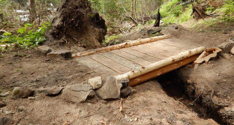
A moderate, good day hike that closely follows the creek bottom for the first three miles. At the end of this stretch, the trail begins to climb. Mountain bikes and motorcycles are allowed on the first three miles to the Little Creek Bridge. No motorized vehicles beyond that point. Not a loop opportunity. Meadow Creek Cabin, which is 15 miles from the start of the trail, is available for rent during the summer.
Accessibility Information
No text provided.
Reviews
Daniel Lynch
Good spring hike to the Ranger Station
I try to hike this every spring. It's pretty and it is wild, with few visitors other than a bear hunter or two. The washout was repaired a couple of years ago so the trail is open to stock now. As of spring 2024 there were about 50 fallen trees on the way to the Ranger Station, but perhaps some maintenance has been done since then. In any event, trees are constantly being blown down in the Selway so you have to expect a few. The trail continues for about 2 miles beyond the Ranger Station, then fades into the brush as of spring 2024.
Meadow Creek trail, off of Selway River
2018, due to a slide, is closed to stock, 3 miles up. A lot of the area has burned in recent years, so a chainsaw or some other cutting implement is usually necessary for going with stock, coming and going. Not a trail, past the 3 mile, for those nervous of heights. I think there is historical reasons to keep this trail open.
Allowed Uses:
Bicycling Equestrian Hiking/WalkingOther Activities
- Camping
- Fishing
Public Contact
Kearstin EdwardsNez Perce-Clearwater National Forests
831 Selway Road
Kooskia, ID 83539
[email protected] • (208) 983-1950
Contact the trail manager for current maps and visiting details.
More Details
- Elevation (low): 1750
- Elevation (high): 3120
- Elevation (cumulative): --
- Part of a Trail System? No
- Surface (primary): Soil
- Surfaces (additional): Soil
- Tread Width (average): 24"
- Tread Width (minimum): --
- Running length (minimum): --
- Tread Grade (average, percent): 10
- Tread Grade (maximum): 25
- Running length (maximum): --
- Cross-slope (average, percent): --
- Cross-slope (maximum): --
- Running length (maximum): --
- Certified as an NRT
Jun 12, 1980


