Middle Fork Trail
check with the trail manager for updated details before visiting.
Middle Fork Trail
USDA Forest Service
Backcountry Trail
- Length
27 miles
- Elevation Gain
--
- Route Type
out & back
(1 review)
- Length
27 miles - Elevation Gain
-- - Route Type
out & back
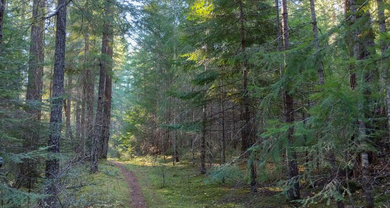
This 27-mile riverside trail wanders up the Middle Fork of the Willamette River from Sand Prarie Campground up to the headwaters at Timpanogas Campground. Big old-growth trees, wild rapids, fishing holes, and excellent hiking, horseback riding, and mountain biking opportunities are found in abundance along the trail route.


Winner 2022 NRT Photo Contest, Trail as Photographic Inspiration. Photo by Eric DeBord.

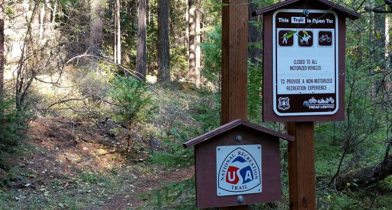
New NRT sign placed on the Middle Fork Trail.

New NRT sign placed on the Middle Fork Trail.

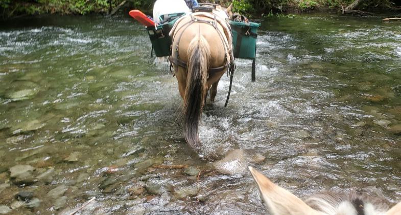
2020 NRT Photo Winner - Equestrian Trails. Photo by Kevin Rowell.


Location: Middle Fork Willamette River south of Hills Creek Reservoir. East of Oakridge.
- States: Oregon
- Counties: Lane
This 27-mile riverside trail wanders up the Middle Fork of the Willamette River from Sand Prarie Campground up to the headwaters at Timpanogas Campground. Big old-growth trees, wild rapids, fishing holes, and excellent hiking, horseback riding, and mountain biking opportunities are found in abundance along the trail route.
This epic trail winds through stands of mixed conifer, cottonwood, and big-leaf maple, which give the visitor many diverse views of changing ecosystems - from riparian zones to high-elevation fir. Many trailheads offer opportunities for shorter trips and several of the easily accessible riverside areas receive high use. This trail makes an excellent mountain bike ride with a difficulty level starting at easy (near Sand Prairie Campground) and moving toward the most difficult near the end of the trail at Timponogas Campground. There is ample opportunity to view wildlife, flowers, waterfalls, and portions of the Oregon Central Military Wagon Road. Several sections of the trail are flat and can provide a scenic walk for even the youngest family member. Bring a fishing pole, and a picnic lunch and make it a day!
Accessibility Information
No text provided.
Reviews
Bring a shuttle
The Middle fork trail is a great trail, following the middle fork of the Willamette River from its source and along the first 27 miles. High up the trail feels primitive and wild, lower down it is lush and easily accessible from a number of trailheads. Very low usage, at least in the fall. The difficulty with a long, out-and-back type hike like this is that without a second car as shuttle it's hard to see much of the trail on foot (mountain bikers fair better). A six mile-day hike is only three miles of trail you get to explore. Standard fare, but I couldn't help wishing for a loop option somewhere along the route.
Allowed Uses:
Bicycling Equestrian Hiking/WalkingPublic Contact
Kevin RowellUSDA Forest Service
46375 Highway 58
Westfir, OR 97492
[email protected] • (541) 782-5305
Contact the trail manager for current maps and visiting details.
More Details
- Elevation (low): 3300
- Elevation (high): 5300
- Elevation (cumulative): --
- Part of a Trail System? No
- Surface (primary): Soil
- Surfaces (additional): Boardwalk, Rock, boulders
- Tread Width (average): 18"
- Tread Width (minimum): 12
- Running length (minimum): --
- Tread Grade (average, percent): --
- Tread Grade (maximum):
- Running length (maximum): --
- Cross-slope (average, percent): --
- Cross-slope (maximum): --
- Running length (maximum): --
- Certified as an NRT
Jan 24, 2007


