Minooka Park Trail System
check with the trail manager for updated details before visiting.
Minooka Park Trail System
City, Town, or County
Backcountry Trail
- Length
25 miles
- Elevation Gain
--
- Route Type
Loop
- Length
25 miles - Elevation Gain
-- - Route Type
Loop
Minooka Park features miles of trails specifically designed and constructed for ATV's and off road motorcycles. If you're a dirt bike enthusiast looking for more technical trails then check out our miles of single track trails.

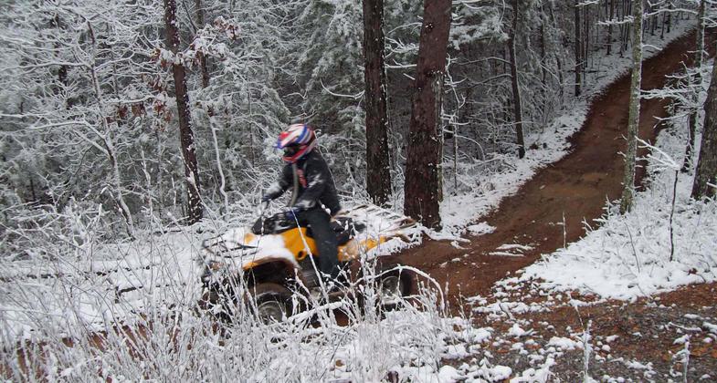
Minooka in snow. Photo by Mark Alexander.

The pier makes a nice rest stop along the walking trail. Photo by John H. Morgan, III.

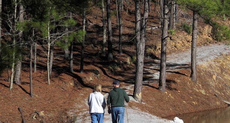
Hikers along the walking trail get their afternoon exercise. Photo by John H. Morgan, III.

Trail meanders around Wilson Lake and crosses bridge. Photo by John H. Morgan, III.

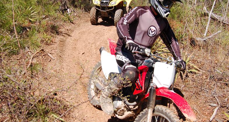
Motorized trail users. Photo by Rob Grant.

Camping under the stars. Photo by Rob Grant.

Cheaha Trail Riders installing traffic counters on one of the OHV trails in Minooka Park. Photo by Rob Grant.

Park walking trail. Photo by Mark Alexander.

Horse trail. Photo by Mark Alexander.
Location: central Alabama, Off U.S. Highway 31 north of Jemison on County Road 146.
- States: Alabama
- Counties: Chilton
Horseback riders are also welcome at Minooka Park with trails such as Deer Ridge, Turkey Creek, and Pine Mountain which feature beautiful views, creeks, and the opportunity to see wildlife such as white-tail deer and turkey. Hikers have access to wooded nature trails and a one-mile walking trail around Lake Minooka. The walking trail around the lake along with five fishing piers and a large deck overlooking the lake is handicap accessible. Bring your fishing equipment when you visit Minooka Park because the eight-acre lake is stocked with largemouth bass and blue gill. Primitive camping is available with an RV campground scheduled to open in early 2010.
Accessibility Information
No text provided.
Allowed Uses:
Bicycling Dogs, on leash Equestrian Hiking/Walking Motorized vehicles, – ATV/ORV Motorized vehicles, motorcyclingOther Activities
- Camping
- Fishing
Public Contact
Gerald ArringtonChilton County Commission
2391 County Rd 146
Jemison, AL 35085
[email protected] • (205) 312-1376
www.minookapark.org
Contact the trail manager for current maps and visiting details.
More Details
- Elevation (low): 550
- Elevation (high): 680
- Elevation (cumulative): --
- Part of a Trail System? No
- Surface (primary): Soil
- Surfaces (additional): Rock, crushed
- Tread Width (average): 55"
- Tread Width (minimum): --
- Running length (minimum): --
- Tread Grade (average, percent): --
- Tread Grade (maximum):
- Running length (maximum): --
- Cross-slope (average, percent): --
- Cross-slope (maximum): --
- Running length (maximum): --
- Certified as an NRT
May 2, 2010


