Montour Trail
check with the trail manager for updated details before visiting.
Montour Trail
Nonprofit
Rail Trail
- Length
47 miles
- Elevation Gain
--
- Route Type
out & back
- Length
47 miles - Elevation Gain
-- - Route Type
out & back
The Montour Trail is a multi-use non-motorized recreational rail-trail near Pittsburgh, PA that is approximately 47 miles in length with branch routes increase length to 60+ miles.
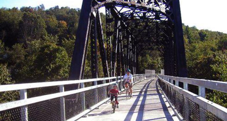
photo by Mary Shaw.

Winterized Tunnel. Photo by Mary Shaw.

Airport Connector. Photo by Mary Shaw.

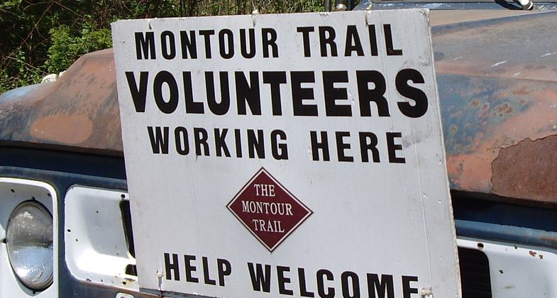
Volunteers needed! Photo by Mary Shaw.

Grand Opening of the innovative Montour Airport Connector. Photo by Mary Shaw.

Decorative Gate on the Montour Trail. Photo by Mary Shaw.

Detour Instructions. Photo by Mary Shaw.
Location: Southwestern Pennsylivania
- States: Pennsylvania
- Counties: Allegheny, Washington
The Montour Trail is a multi-use non-motorized recreational rail trail near Pittsburgh, PA traveling 47 miles from Coraopolis to Clairton. Multiple branch routes increase length to 60+ miles.
Currently, multiple sections of the trail totaling about 30 miles are completed. New sections are being added each year. The trail is paved with a smooth surface of crushed limestone, which makes it ideal for all forms of non-motorized use; bicycling, walking, running, cross-country skiing, and nature appreciation.
The trail travels through urban and suburban areas as well as picturesque undeveloped landscapes. The portion of the trail within Peters Township is called The Arrowhead Trail. It is owned and maintained by the Township and was designated a National Recreation Trail in 2003.
Accessibility Information
No text provided.
Allowed Uses:
Bicycling Equestrian Hiking/Walking Snow, cross-country skiingOther Activities
- Fishing
- Snow, snow play general
Public Contact
Montour Trail Council2589 Boyce Plaza Rd Pittsburgh
Pitssburgh, PA 15241-4907
[email protected] • 412-257-3011
www.montourtrail.org
Contact the trail manager for current maps and visiting details.
More Details
- Elevation (low): --
- Elevation (high): --
- Elevation (cumulative): --
- Part of a Trail System? No
- National Designations: Legacy Millenium
- Surface (primary): Paved
- Surfaces (additional): Paved, Rock, crushed
- Tread Width (average): 0"
- Tread Width (minimum): --
- Running length (minimum): --
- Tread Grade (average, percent): --
- Tread Grade (maximum): 2
- Running length (maximum): --
- Cross-slope (average, percent): --
- Cross-slope (maximum): --
- Running length (maximum): --
- Certified as an NRT
Jun 1, 2004