Mountains-to-Sea Trail - Blue Ridge Parkway Segment
check with the trail manager for updated details before visiting.
Mountains-to-Sea Trail - Blue Ridge Parkway Segment
State
Backcountry Trail
- Length
192.5 miles
- Elevation Gain
--
- Route Type
out & back
- Length
192.5 miles - Elevation Gain
-- - Route Type
out & back

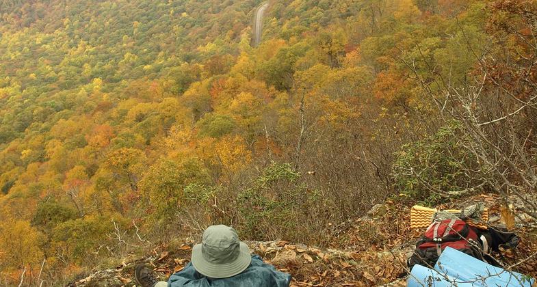
Overlook near Lane Pinnacle, a peak east of Asheville, NC during peak fall foliage. Photo by Matt Mutel.

2024 NRT Photo Contest Winner, Youth and Volunteers


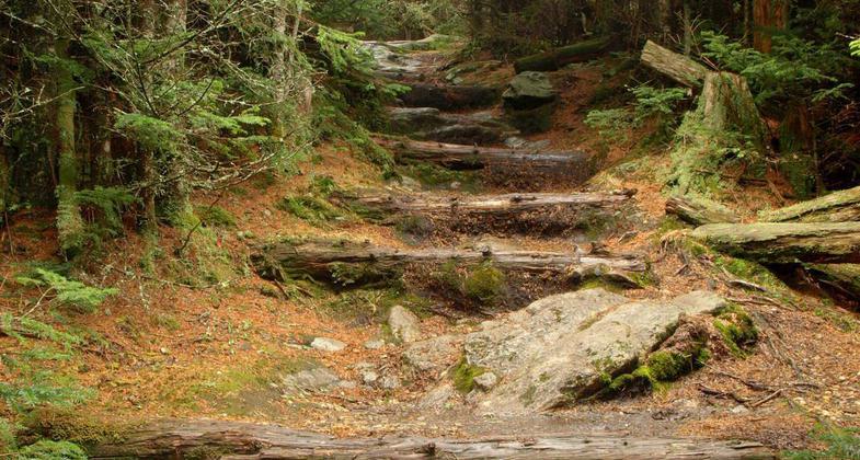
Balsam Nature Trail in Mount Mitchell State Park. Photo by Matt Mutel.

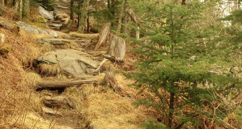
A strenuous 3,700', 6 mile climb from the valley floor to the Mt. Mitchell summit. Photo by Matt Mutel.

Taken near the summit of Mt. Mitchell, the highest peak east of the Mississippi River. Photo by Matt Mutel.
Location: Across the state of North Carolina from TN state line to the Atlantic
- States: North Carolina
North Carolina's Mountains-to-Sea Trail stretches from Clingman's Dome in the Great Smokey Mountains National Park to Jockey's Ridge State Park by the Atlantic Ocean. The mainline distance is 908 miles and if an alternate section is followed it is 925 miles. With Ferry Rides, spur trails to scenic overlooks, and side trails to campsites, the adventurous journey is nearly 1000 miles. Its western terminus at Clingman's Dome is 6643 feet in elevation. Its eastern terminus, after reaching sea level, is in Jockey's Ridge State Park on the highest sand dune (140 feet elevation) of the nation's East Coast.
Accessibility Information
No text provided.
Allowed Uses:
Hiking/WalkingOther Activities
- Camping
Public Contact
NC Division of Parks and Recreation12700 Bayleaf Church Rd
Raleigh, NC 27614
[email protected] • (919) 846-9991
www.ncparks.gov
Contact the trail manager for current maps and visiting details.
More Details
- Elevation (low): 2000
- Elevation (high): 6053
- Elevation (cumulative): --
- Part of a Trail System? No
- Surface (primary): Soil
- Surfaces (additional): Soil
- Tread Width (average): 24"
- Tread Width (minimum): --
- Running length (minimum): --
- Tread Grade (average, percent): 4
- Tread Grade (maximum): 7
- Running length (maximum): --
- Cross-slope (average, percent): --
- Cross-slope (maximum): --
- Running length (maximum): --
- Certified as an NRT
Jun 3, 2005


