Mt. Bailey
check with the trail manager for updated details before visiting.
Mt. Bailey
USDA Forest Service
Backcountry Trail
- Length
5 miles
- Elevation Gain
--
- Route Type
out & back
- Length
5 miles - Elevation Gain
-- - Route Type
out & back

Mt. Thielsen. Photo by Claytontullos wiki.

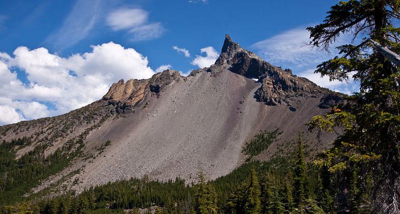
Mt. Bailey. Photo by Gary Halvorson wiki.

Diamond lake Marina. Photo by M.O. Stevens wiki.

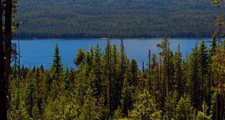
Diamond lake. Photo by M.O. Stevens.

Mount Bailey from Diamond lake. Photo by PGHolbrook wiki.
Location: Diamond Lake Ranger District; Umpqua National Forest, In Umpqua National Forest Diamond Lake Recreation Area on Forest Rd. 2808, SW of Diamond Lake.
- States: Oregon
- Counties: Douglas
The trail begins on a flat covered by lodgepole pine. From there you travel through open stands of mountain hemlock and true fir. Timberline is reached about one mile from the summit. The last half mile is quite steep and rocky and may be too difficult for small children.
The volcanic origin of the mountain becomes evident above the timberline with many interesting geological formations. Mt. Thielsen and Diamond Lake are in the foreground with the Cascades in the north and Mt. Shasta in the south (visible on a clear day).
The first two miles are used for cross-country skiing in the winter and mountain biking in the summer.
Accessibility Information
No text provided.
Allowed Uses:
Bicycling Hiking/WalkingOther Activities
- Camping
Public Contact
David ErwinTiller Ranger District
, [email protected] • (541) 825-3102
Contact the trail manager for current maps and visiting details.
More Details
- Elevation (low): 5250
- Elevation (high): 8363
- Elevation (cumulative): --
- Part of a Trail System? No
- Surface (primary): Soil
- Surfaces (additional): --
- Tread Width (average): 24"
- Tread Width (minimum): --
- Running length (minimum): --
- Tread Grade (average, percent): 12
- Tread Grade (maximum): 20
- Running length (maximum): --
- Cross-slope (average, percent): --
- Cross-slope (maximum): --
- Running length (maximum): --
- Certified as an NRT
Jan 9, 1980


