Muddy Mountain Interpretive Nature Trail
check with the trail manager for updated details before visiting.
Muddy Mountain Interpretive Nature Trail
Bureau of Land Management
- Length
2 miles
- Elevation Gain
--
- Route Type
out & back
- Length
2 miles - Elevation Gain
-- - Route Type
out & back
Location: Muddy Mtn. Environmental Education area
- States: Wyoming
- Counties: Natrona
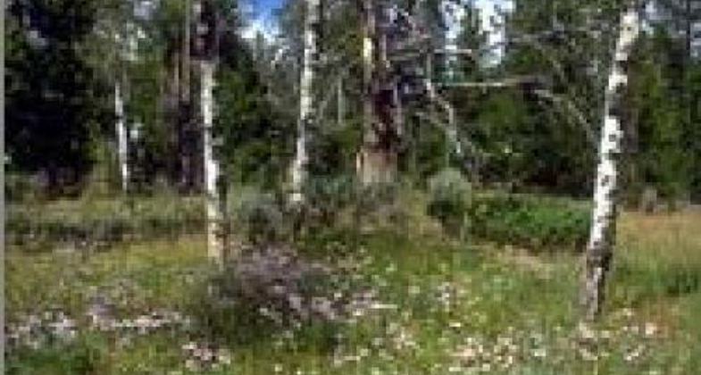
The 1,260-acre Muddy Mountain Environmental Education Area is a popular recreation area south of Casper. The two-mile Interpretive Nature Trail connects the Lodgepole and Rim campgrounds. It has 28 interpretive signs and is handicap accessible. Two overlooks located on the trail provide a unique view of the valley below. Travel along this trail is limited to hikers only.
Opportunities for watching wildlife are favorable as forest, sagebrush, and grasslands provide habitat for blue grouse and fox, as well as deer, antelope, and elk.
The 700-acre natural area is restricted to non-motorized recreational activities such as mountain biking, hiking, and primitive camping. The trail system inside the natural area accommodates hikers, mountain bikers, and horseback enthusiasts. A small parking area is located on the northwest corner of the boundary just east of Rim Campground. Two additional pedestrian gates are located along the western boundary.
Accessibility Information
No text provided.
Allowed Uses:
Hiking/WalkingPublic Contact
Lesley CollinsBureau of Land Management
2987 Prospector Dr.
Casper, WY 82604
[email protected] • (307) 261-7603
[email protected]
Contact the trail manager for current maps and visiting details.
More Details
- Elevation (low): 8300
- Elevation (high): 8300
- Elevation (cumulative): --
- Part of a Trail System? No
- Surface (primary): Rock, crushed
- Surfaces (additional): Rock, crushed
- Tread Width (average): 60"
- Tread Width (minimum): --
- Running length (minimum): --
- Tread Grade (average, percent): --
- Tread Grade (maximum): 5
- Running length (maximum): --
- Cross-slope (average, percent): --
- Cross-slope (maximum): --
- Running length (maximum): --
- Certified as an NRT
May 31, 2001


