Musketawa Trail
check with the trail manager for updated details before visiting.
Musketawa Trail
State
Rail Trail
- Length
24.7 miles
- Elevation Gain
--
- Route Type
out & back
- Length
24.7 miles - Elevation Gain
-- - Route Type
out & back
The Musketawa Trail is a 25-mile paved, multi-use recreation trail between Marne and Muskegon, Michigan. It passes through farmlands and wetlands, over creeks, and through villages.

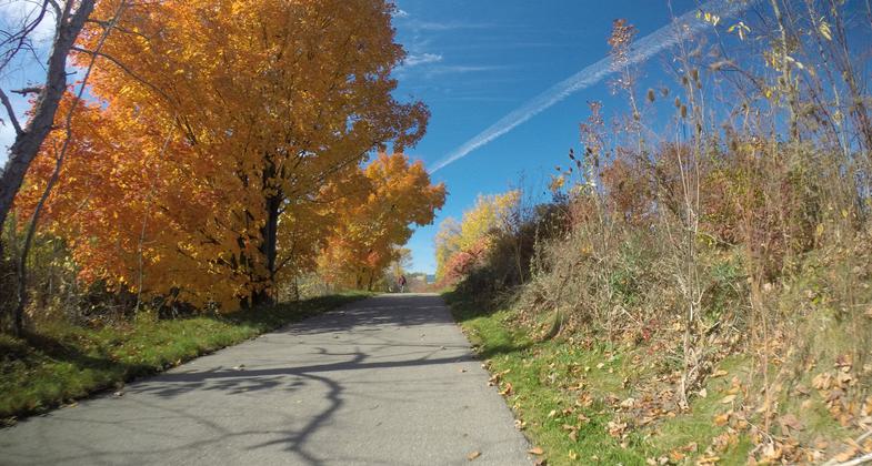
Colorful Autumn Day on the Trail. Photo by Jim Allan.

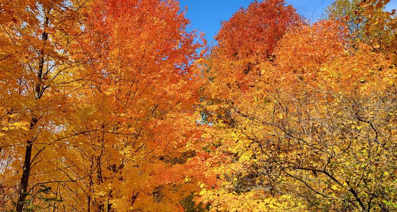
Autumn on Musketawa. Photo by Kate Alvarez.

Colorful Autumn Day on the Trail. Photo by Jim Allan.
Location: Western Lower Michigan
- States: Michigan
- Counties: Ottawa, Muskegon
- Cities/Townships: Marne MI, Conklin MI, Ravenna MI, Muskegon MI
The Musketawa Trail is a 25-mile paved, multi-use recreation trail between Marne and Muskegon, Michigan. It passes through farmlands and wetlands, over creeks, and through villages. The trail is a four season adventure for the outdoor enthusiast, living healthy and having fun. It provides a safe and natural environment for individual, family, and organizational use. This trail is enjoyed by bikers, snowmobilers, horseback riders, rollerbladers, cross-country skiers, wheelchair travelers, hikers, and nature lovers. We hope that you will come and enjoy it with us!
Accessibility Information
No text provided.
Allowed Uses:
Bicycling Dogs, on leash Equestrian Hiking/Walking Motorized vehicles, snowmobiling Snow, cross-country skiingOther Activities
- Snow, snow play general
- Wildlife viewing / observation
Public Contact
Anne EngvallOttawa County - Ottawa County Parks & Recreation
c/o Friends of the Musketawa Trail
N Muskegon, MI 49445
[email protected] • (616) 638-6542
www.MusketawaTrail.org
Contact the trail manager for current maps and visiting details.
More Details
- Elevation (low): 632
- Elevation (high): 740
- Elevation (cumulative): --
- Part of a Trail System? No
- National Designations: Community Millenium
- Surface (primary): Paved
- Surfaces (additional): --
- Tread Width (average): 127"
- Tread Width (minimum): --
- Running length (minimum): --
- Tread Grade (average, percent): 1
- Tread Grade (maximum): 1
- Running length (maximum): --
- Cross-slope (average, percent): --
- Cross-slope (maximum): --
- Running length (maximum): --
- Certified as an NRT
May 31, 2008


