New York State Canalway Water Trail
check with the trail manager for updated details before visiting.
New York State Canalway Water Trail
State
National Water Trail
- Length
450 miles
- Elevation Gain
--
- Route Type
out & back
- Length
450 miles - Elevation Gain
-- - Route Type
out & back
The NYS Canalway Water Trail is comprised of over 450 miles of land-cut canals, interconnected lakes, and rivers with more than 150 public access points for paddlers. The water trail follows the NYS Canal System across the full expanse of Upstate New York, offering visitors a wealth of places to visit and sights to see. The waterway flows through time and history, connecting magnificent scenery and communities, many of which have been welcoming canal travelers for nearly 200 years.
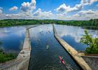
Waterford Flight. Photo by Stefanie Obkirchner
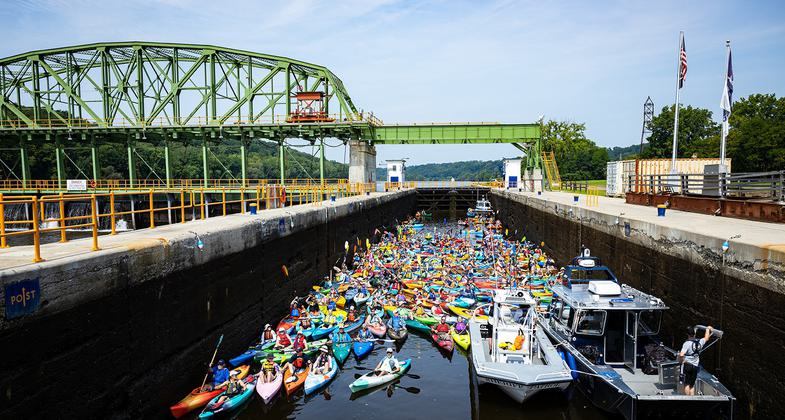
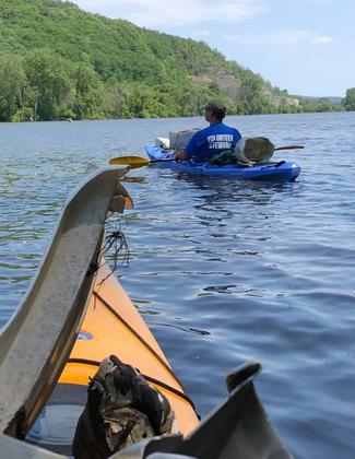
Paddle the Mohawk Valley, 2021 (Photo credit: Call of the Loon)
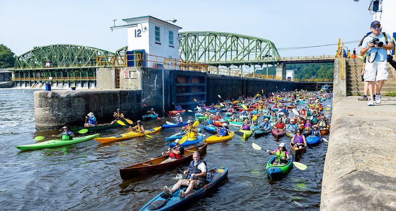
Paddle the Mohawk Valley, 2021 (Photo credit: Call of the Loon)
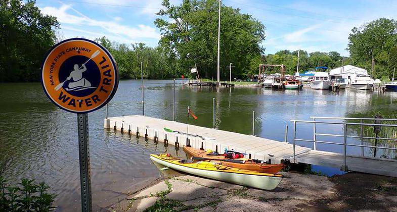
Water Trail Sign at Launch
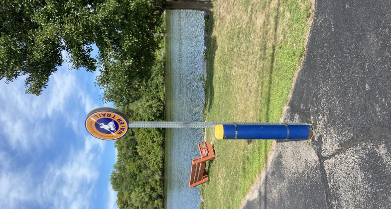
Water Trail Sign in Minetto
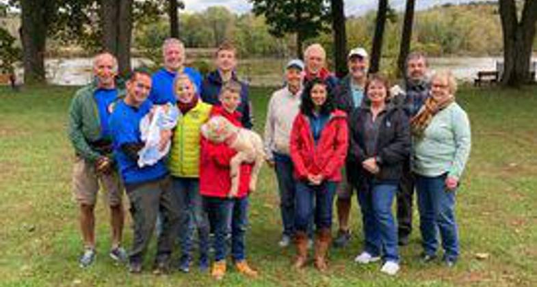
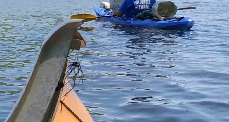
Stewards in Halfmoon
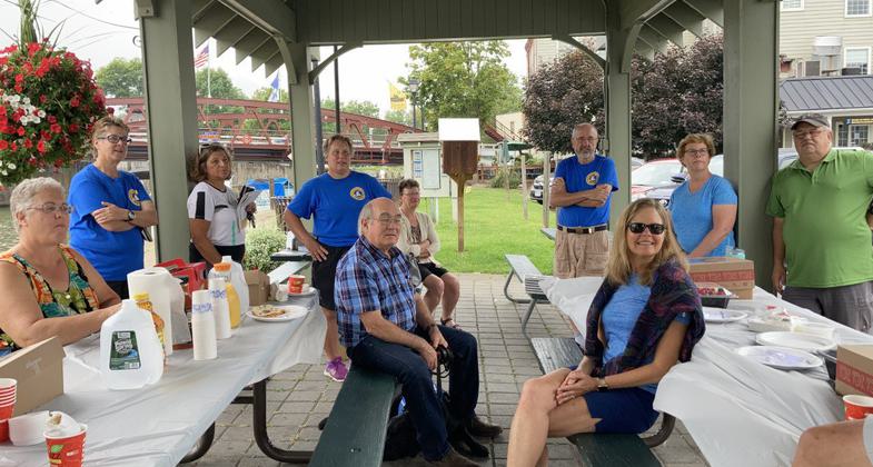
Stewards in Fairport
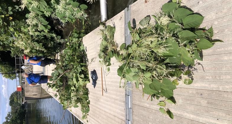
Water Clean-up in Amsterdam
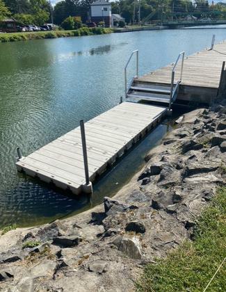
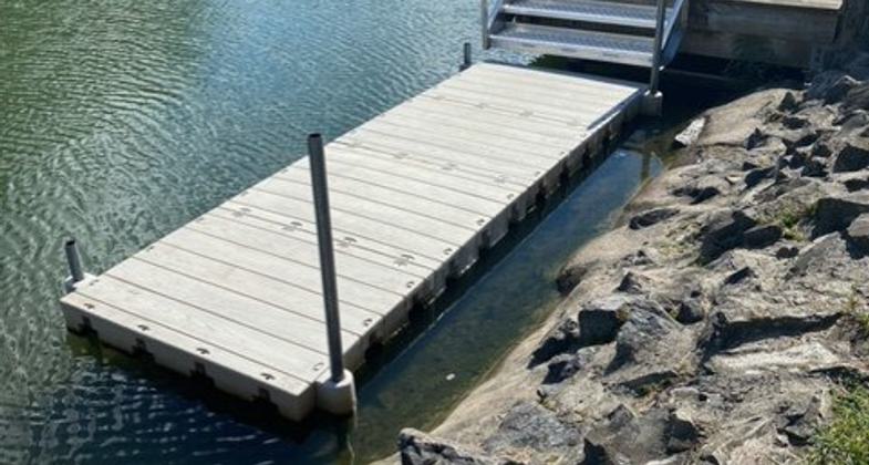
Dock Repair in Spencerport
Two Gals Clean-up in Lyons
Location: The NYS Canalway Water Trail is located in upstate New York and include 450-miles of the Erie, Cayuga-Seneca, Champlain and Oswego canals and the five-mile Feeder Canal.
- States: New York
- Cities/Townships: Tonawanda, Brockport, Rochester, Baldwinsville, Rome, Schenectady, Waterford, Phoenix, Oswego, Geneva, Glens Falls
The New York State (NYS) Canalway Water Trail is comprised of over 450 miles of land-cut canals, interconnected lakes, and rivers with more than 150 public access points for paddlers. The water trail follows the NYS Canal System across the full expanse of Upstate New York, offering visitors a wealth of places to visit and sights to see. The waterway flows through time and history, connecting magnificent scenery and communities, many of which have been welcoming canal travelers for 200 years.
The NYS Canalway Water Trail is part of the NYS Canal System which has been in continuous operation since 1825, longer than any other constructed transportation system in North America. Since its opening, the canal has been enlarged three times to accommodate more traffic and larger vessels. The system is managed and operated by the NYS Canal Corporation, a subsidiary of the New York Power Authority. The Canal Corporation is our partner in developing the Water Trail.
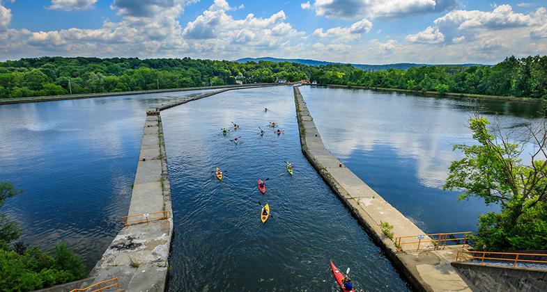
The Water Trail is distinct from many other water trails in that it is an engineered waterway and a historic canal. Paddlers and boaters navigate century-old locks, pass by historic stone aqueducts, paddle alongside tugboats and cruisers, and experience narrow flatwater stretches and wide river segments. Unique features such as 57 locks, 15 lift bridges, eight movable dams, guard gates, and powerhouses all regulate the flow of water and enable boats to transit changing elevations.
Paddlers experience a diversity of birds and wildlife, unique geology, and varying terrain. The waterway offers a mix of urban, suburban, pastoral, natural, and industrial settings. While canal technology remains the same, its use has evolved from commercial to recreational, and Water Trail usage has adapted with the times.
Erie Canalway National Heritage Corridor (Erie Canalway) has taken a leadership role in developing the Water Trail and programs to create connections to diverse communities and promote education, health and fitness, tourism, and economic development. Through Erie Canalway programs such as Water Trail Stewardship, Canalway Challenge, Ticket to Ride, and resources such as our guidebook and maps, websites (eriecanalway.org; nycanalmap.com), Facebook group (facebook.com/groups/nyscanalwaywatertrail) and paddling events, the Water Trail is experiencing growth and new audiences.
The Water Trail Stewardship Program was launched in May 2021. The first-year goal was to have 10 adopted sections or approximately 100 miles adopted. Erie Canalway surpassed that goal and has 23 sections adopted by over 40 active volunteers. Volunteers range from ages 15 to 75, represent individuals, families, and groups, and bring a variety of experiences and skills. Their roles include maintaining launch sites on shore and in the water, acting as ambassadors, and communicating about conditions and issues on the trail. See www.eriecanalway.org/watertrail/stewardship
Canalway Challenge is a free program developed to encourage visitors to the NYS Canalway Water Trail and Canalway Trail. Participants can sign up for a personal mileage goal, track their miles while paddling, running, walking, or cycling, and discover all there is to do along New York's canals. Trip itineraries, Hot on the Trail (things to see and do), and Best Bet Paddling trips are additional resources for challenge participants. See www.canalwaychallenge.org
The Ticket to Ride and Every Kid Outdoors Program provides funding to help teachers and school districts take advantage of educational field trips to the Erie Canal and designated museums and historic canal sites. The program covers both bus and tour fees. The program also gives teachers access to lesson plans and document-based questions. A new curriculum is underway to incorporate STEAM into the program. See www.eriecanalway.org/learn/teachers
Through Erie Canalway's leadership, 450 miles of the NYS Canal System was designated a National Historic Landmark Historic District in 2016. The designation specifically recognizes the canal for its role in shaping the American economy and settlement, as an embodiment of the Progressive Era emphasis on public works, and as a nationally significant work of early 20th-century engineering and construction. The NYS Canal System is remarkable in its span, scope, and historical integrity. See www.eriecanalway.org/resources/NHL
Historically, the Erie Canal has been a significant commercial and cultural driver throughout Upstate New York. The canal system continues to contribute to New York's sense of place and serve as an economic generator.
Accessibility Information
No text provided.
Allowed Uses:
Boating, motorized Boating, human-poweredOther Activities
- Camping
- Fishing
- Heritage and history
- Ice skating
- Wildlife viewing / observation
Public Contact
Sasha Del PeralNYS Canal Corporation
30 South Pearl Street
Albany, NY 12207
[email protected] • (518)449-6036
More Details
- Elevation (low): --
- Elevation (high): --
- Elevation (cumulative): --
- Part of a Trail System? No
- National Designations: Heritage Corridor,Historic Landmark,Historic Place
- Surface (primary): --
- Surfaces (additional): Rock, boulders, Rock, smooth, Snow or ice, Water, calm
- Tread Width (average): 0"
- Tread Width (minimum): 0
- Running length (minimum): --
- Tread Grade (average, percent): --
- Tread Grade (maximum):
- Running length (maximum): --
- Cross-slope (average, percent): 0
- Cross-slope (maximum): --
- Running length (maximum): --
- Certified as an NRT
Jun 2, 2022