North Shore
check with the trail manager for updated details before visiting.
North Shore
USDA Forest Service
Backcountry Trail
- Length
2 miles
- Elevation Gain
--
- Route Type
out & back
- Length
2 miles - Elevation Gain
-- - Route Type
out & back
Location: Rural, In the San Bernardino National Forest, along N shore of Lake Arrowhead, 10 mi. N of San Bernardino.
- States: California
- Counties: San Bernardino
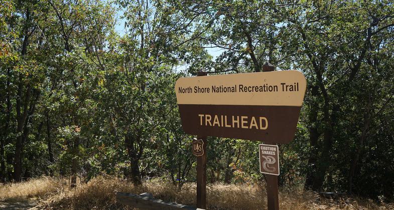
Start at the beginning of FS Road 2N25 between North Shore Campground and Papoose Lake. To reach 2N25, turn east on Torrey Road opposite the Lake Arrowhead Marina. Turn at first left and follow the dirt road 1/2 mile to where you reach the trailhead on the east (right) side of 2N25. The trail descends gently through a mixed conifer forest and settles finally along Little Bear Creek where you will reach FS Road 2N26Y after one mile.
This trail is best reached by starting at the beginning of FS Road 2N25 between North Shore Campground and Papoose Lake. To reach 2N25, turn east on Torrey Road opposite the Lake Arrowhead Marina. Turn at first left and follow the dirt road 1/2 mile to where you reach the trailhead on the east (right) side of 2N25. The trail descends gently through a mixed conifer forest and settles finally along Little Bear Creek where you will reach FS Road 2N26Y after 1 mile.
This trail begins just behind the North Shore Campground on Hospital Rd. off of Hwy. 173. The trail descends along seasonal Little Bear Creek to FS Road 2N26Y, intersecting the road about 1 mile above Splinter's Cabin Trailhead. The seven-year drought and Old Fire in 2003 took their toll on the trees along the trail, giving hikers an opportunity to view post-fire effects and the changes as a result of the drought and bark beetle infestation.
Accessibility Information
No text provided.
Allowed Uses:
Bicycling Dogs, on leash Equestrian Hiking/Walking Snow, cross-country skiing Snow, snowshoeingOther Activities
- Camping
- Snow, snow play general
Public Contact
Big Bear Discovery CenterPO Box 290
Fawnskin, CA 92333
(909) 382-2790
Contact the trail manager for current maps and visiting details.
More Details
- Elevation (low): --
- Elevation (high): --
- Elevation (cumulative): --
- Part of a Trail System? No
- Surface (primary): --
- Surfaces (additional): --
- Tread Width (average): 50"
- Tread Width (minimum): --
- Running length (minimum): --
- Tread Grade (average, percent): --
- Tread Grade (maximum):
- Running length (maximum): --
- Cross-slope (average, percent): --
- Cross-slope (maximum): --
- Running length (maximum): --
- Certified as an NRT
Oct 4, 1979


