Northfield Mountain Trail System
check with the trail manager for updated details before visiting.
Northfield Mountain Trail System
Private
Backcountry Trail
- Length
33 miles
- Elevation Gain
--
- Route Type
out & back
(1 review)
- Length
33 miles - Elevation Gain
-- - Route Type
out & back

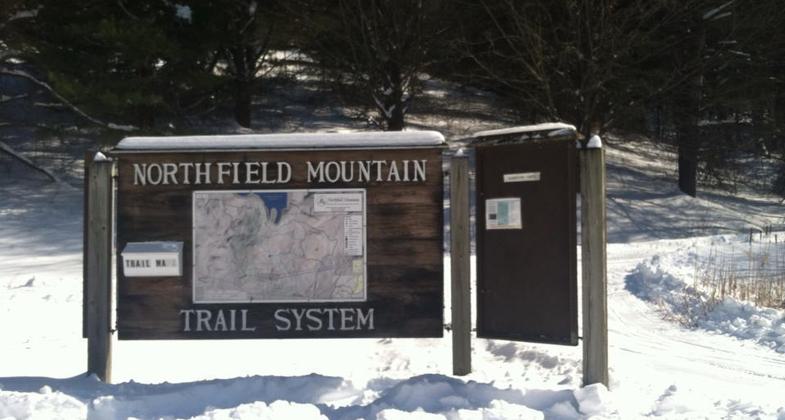
Out for some snowshoeing. Photo by Ariel Lavery.

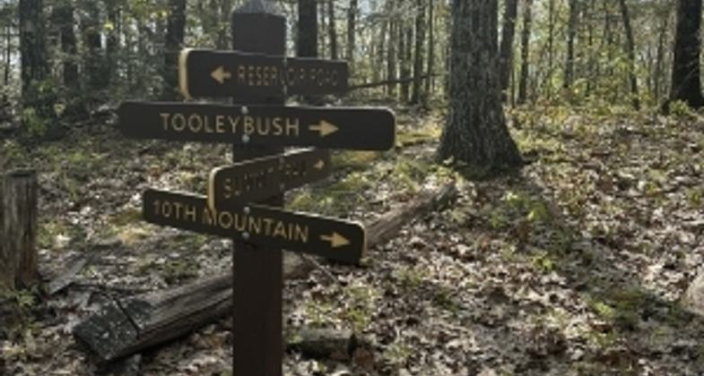
Signpost in spring.

Sunny Spring Day on Bobcat Trail.
Location: Take Interstate 91 to Exit 27 in Greenfield, MA. Follow Route 2 East to the intersection of Rte. 2 and Rte. 63, take Rte. 63 2.5 miles north. Northfield is on the right.
- States: Massachusetts
Northfield Mountain Cross Country Ski Area, on Route 63 in Northfield, is open for great cross-country skiing. At Northfield, you can ski a gorgeous sweep of the mountain on 25 miles of trails groomed for classical and freestyle skiing. These carriage-width trails vary from rolling beginner trails to scenic intermediate circuits to the demanding 800-foot vertical climb of the Tenth Mountain Trail.
More than six miles of trails are reserved exclusively for snowshoeing. The trails meander through scenic sections of the mountain, with great views from Rose Ledges. Free snowshoe trail tickets must be picked up at the ski shop before heading out. Please see our price chart above if you need to rent snowshoes.
Accessibility Information
No text provided.
Reviews
Janie Walker
Spring day on hiking trails
May 10, 2023 - This little mountain seems particularly geared for winter activities, as there are a bunch of ski trails and a couple of small warming buildings in the woods. The snowshoe trails are also described as regular hiking trails though, so those are the ones I did. Six miles of hiking trails, but if you want to do them all in one day, you'll have to double back quite a bit. My total mileage was over 10.5. All trails were well marked and were basically just walks among the trees with some nice granite ledges/boulders in some places. The reservoir at the top is pretty, though power lines obstruct the view. Along the trails, there isn't much of a view except in a couple of places through branches. Perhaps in winter one can see more. For a hiker, I'd give this four stars. However, since this is a trail network which caters to winter sports and also allows bikes and horses, I think five stars is fair. There's a nice variety of types of trails, and all of it is supposed to be the National Recreation Trail. Also, there seems to be a lot of community-based educational and fun activities happening here throughout the seasons.
Allowed Uses:
Bicycling Dogs, on leash Equestrian Hiking/Walking Snow, cross-country skiingOther Activities
- Camping
- Snow, snow play general
Public Contact
George BroskyNorth East Utilities Service Co
P.O. Box 270
Hartford, CT 6101
Contact the trail manager for current maps and visiting details.
More Details
- Elevation (low): --
- Elevation (high): --
- Elevation (cumulative): --
- Part of a Trail System? No
- Surface (primary): --
- Surfaces (additional): --
- Tread Width (average): 36"
- Tread Width (minimum): --
- Running length (minimum): --
- Tread Grade (average, percent): --
- Tread Grade (maximum):
- Running length (maximum): --
- Cross-slope (average, percent): --
- Cross-slope (maximum): --
- Running length (maximum): --
- Certified as an NRT
May 17, 1976


