Old Erie Canal State Park
check with the trail manager for updated details before visiting.
Old Erie Canal State Park
State
Backcountry Trail
- Length
35 miles
- Elevation Gain
--
- Route Type
out & back
(1 review)
- Length
35 miles - Elevation Gain
-- - Route Type
out & back
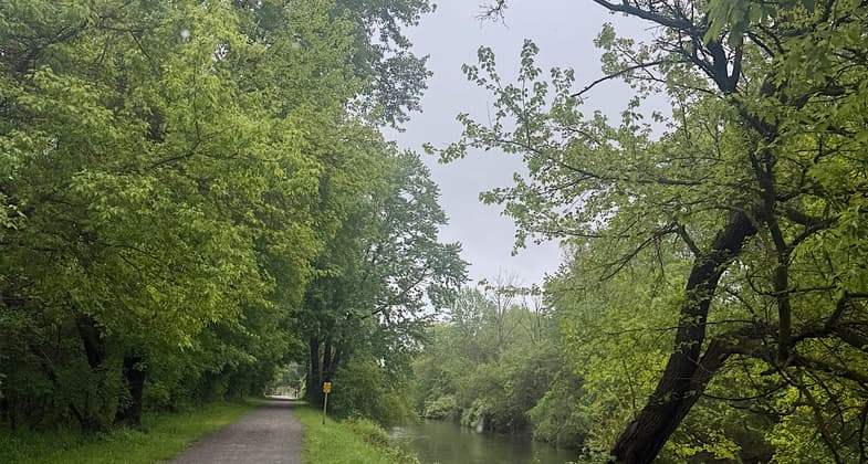
The canalway trail, which is part of the larger statewide canalway trail, lies adjacent to the old canal on the old towpath for most of the length.
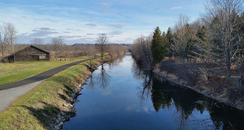
Old Erie Canal State Historic Park, at Cedar Bay Park, DeWitt, NY. Photo by DASonnenfeld.
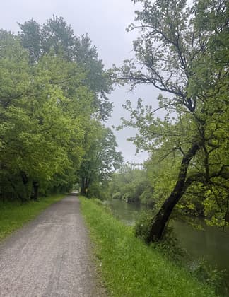

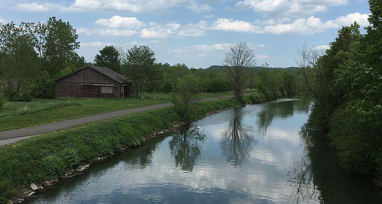
Erie Canal near Cedar Bay Park, Dewitt, NY. Photo by Beiji2020.

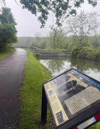
Old Erie Canal, DeWitt, NY, at Butternut Creek. Photo by DASonnenfeld.
Location: Joins Syracuse to Rome. Many access points off SRs 5 and 46.
- States: New York
Old Erie Canal State Park is a 36-mile stretch of the 363-mile Old Erie Canal, which has been designated a National Recreational Trail by the National Parks Service. The canalway trail, which is part of the larger statewide canalway trail, lies adjacent to the old canal on the old towpath for most of the length. The terrain is woodland and wetland which present opportunities for hiking, picnicking, horseback riding, bicycling, canoeing, fishing, and snowmobiling.
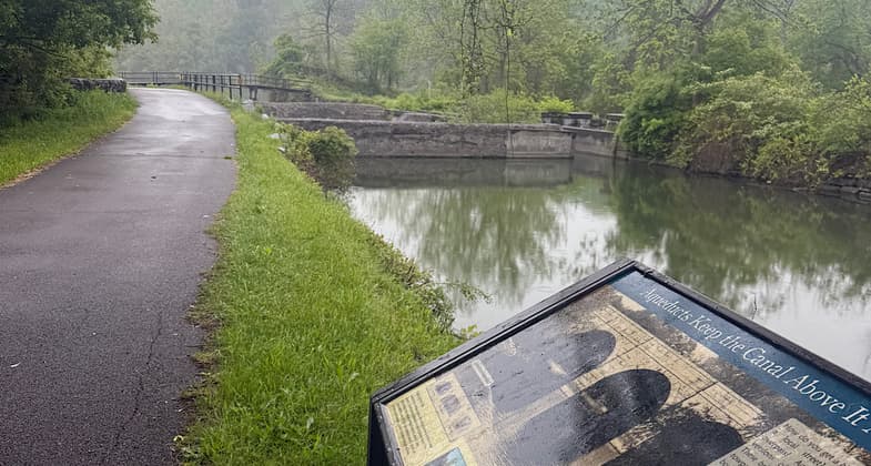
Several areas have footbridges that aid access to the canal towpath where visitors can view the remnants of stone aqueducts. The park includes restored segments of the canal's waterway and towpath which were in active use between 1825 and 1917.
Accessibility Information
No text provided.
Reviews
Patricia Ellis
Pretty walk by the canal
I did the western half May 22-23, 2025. The eastern half is part of the North Country National Scenic Trail, so I will hike the eastern half when I do the NCT. The western half is a lovely walk along the canal. Wide path, part packed dirt and part pavement. Lots of geese and goslings. Ample parking areas along the route.
Allowed Uses:
Bicycling Boating, human-powered Motorized vehicles, snowmobilingOther Activities
- Fishing
- Snow, snow play general
Public Contact
Brent MacPhersonNew York State Office of Parks, Recreation
6105 East Seneca Turnpike
Jamesville, NY 13078
(315) 510-3421
Contact the trail manager for current maps and visiting details.
More Details
- Elevation (low): --
- Elevation (high): --
- Elevation (cumulative): --
- Part of a Trail System? No
- Surface (primary): --
- Surfaces (additional): --
- Tread Width (average): 0"
- Tread Width (minimum): --
- Running length (minimum): --
- Tread Grade (average, percent): --
- Tread Grade (maximum):
- Running length (maximum): --
- Cross-slope (average, percent): --
- Cross-slope (maximum): --
- Running length (maximum): --
- Certified as an NRT
Nov 26, 1981

