Organ Mountain Trails - Baylor Pass Trail
check with the trail manager for updated details before visiting.
Organ Mountain Trails - Baylor Pass Trail
Bureau of Land Management
Backcountry Trail
- Length
6 miles
- Elevation Gain
--
- Route Type
out & back
- Length
6 miles - Elevation Gain
-- - Route Type
out & back
This is a one-way trail of six miles, which will take you to the Baylor Canyon Road on the west side of the mountains.
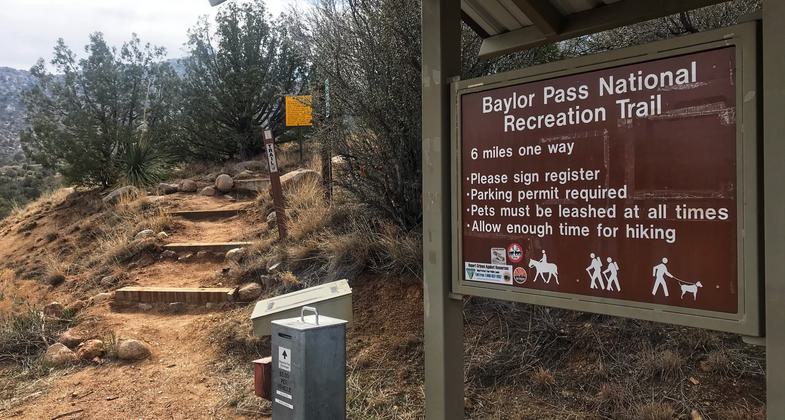
Trailhead from the east side, Aguirre Springs campground. Photo by Pam Riches.
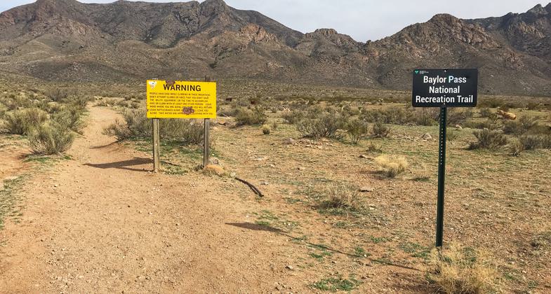
Western trailhead. Photo by Pam Riches.
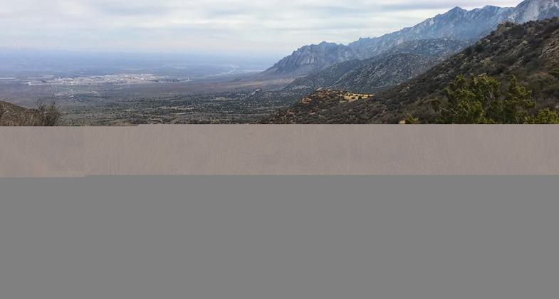
Baylor Pass looking east. Photo by Pam Riches.
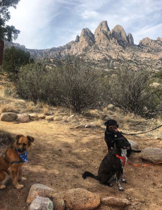
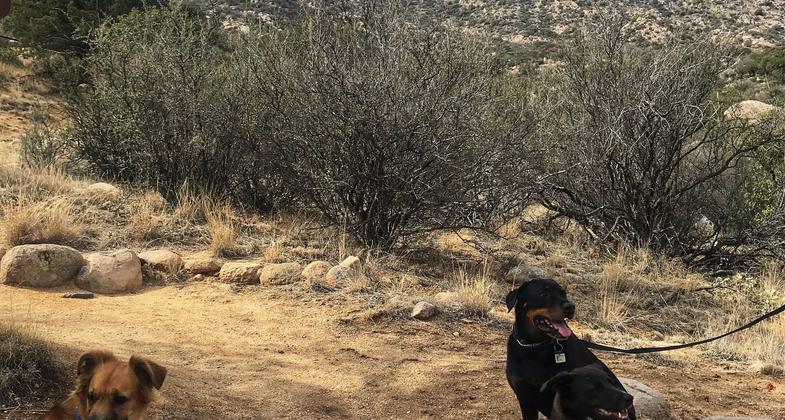
Dog on leash welcome. Photo by Pam Riches.
Location: 10 miles E of Las Cruces.
- States: New Mexico
- Counties: Doña Ana
Located in the Organ Mountains-Desert Peaks National Monuments, two national recreation trails start at the Aguirre Spring Campground, The Baylor Pass Trail and the Pine Tree Trail. The Baylor Pass Trail has its eastern end at the campground. This is a one-way trail of six miles, which will take you to Baylor Canyon Road on the west side of the mountains. The Pine Tree Trail is a four-mile loop that climbs to the base of the Organ Needles, in Ponderosa Pine habitat. Both trails provide spectacular views of the Organ Mountains and the Tularosa Basin. The Baylor Pass Trail is open to hiking and equestrian use. The Pine Tree Trail is open to hiking only.
Accessibility Information
No text provided.
Allowed Uses:
Hiking/WalkingOther Activities
- Camping
Public Contact
Las Cruces District Office1800 Marquess St.
Las Cruces, NM 88005
(575) 525-4300
www.blm.gov/visit/aguirre-spring-campground
Contact the trail manager for current maps and visiting details.
More Details
- Elevation (low): 5815
- Elevation (high): 6390
- Elevation (cumulative): --
- Part of a Trail System? No
- Surface (primary): Soil
- Surfaces (additional): --
- Tread Width (average): 0"
- Tread Width (minimum): --
- Running length (minimum): --
- Tread Grade (average, percent): --
- Tread Grade (maximum): 29
- Running length (maximum): --
- Cross-slope (average, percent): --
- Cross-slope (maximum): --
- Running length (maximum): --
- Certified as an NRT
Jun 1, 1971

